Colorado Daily Snow

By Joel Gratz, Founding Meteorologist Posted 9 years ago November 23, 2014
November pow
Summary:
- New snow Sunday morning: 4-8 inches
- Expect additional 2-4 inches Sunday with snow squalls
- Another round of snow Monday with 4-7 inches
- Mostly dry Tuesday through weekend, though times of light snow north
Details:
The cold front came through as expected Saturday night with most mountains reporting 4-8 inches. Here are the official reports that I've seen in addition to webcam snowstakes from resorts that aren't open yet:
Crested Butte: 9 (surprise!)
Breckenridge: 8
Beaver Creek: 8
Copper: 7
Steamboat: 7
Loveland: 6.5
Vail: 6
Winter Park: 6
Keystone: 5
Aspen: 4
Abasin: 4
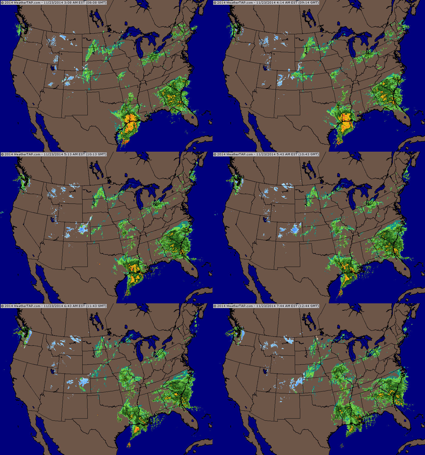
The current radar shows our Saturday-night snow pushing south through Colorado, but still some blue to our northwest. This continued feed of moisture to our northwest will bring more snow Sunday and Monday.

Sunday morning radar at 6am. Source: Weathertap.com
Sunday: Off and on snow showers and squalls through the day. Likely 2-4 more inches. There will be bursts of heavy snow followed by breaks of sun.
Sunday night: Likely a lull in the snow for most areas, though I-70 and north should continue to see flakes in the air. Perhaps an inch or two of additional accumulation.
Monday: A stronger wave of energy moves through the northwest flow and snow should pick back up for most mountains with 4-7 more inches.
Monday night: Snow slowly winds down. A few inches could fall after lifts close, though, which could be important for Tuesday morning.
Tuesday and Tuesday night: Soft snow in the morning leftover from Monday afternoon and evening. The mountains along and north of I-70 could continue to see a snow shower or two, but I think accumulations will be light as temperatures warm.
Wednesday through the weekend: Mostly dry and sunny for most mountains. Areas along and north of I-70 might see a few snow showers from storms passing to our north, but I don't think these showers will have much of an impact.
Longer range: The models are struggling terribly with the pattern from about Thursday onward. It's useless to talk about specifics beyond this point expect to note that the storm track will stay somewhere to our north late this week and next weekend, and then we'll have a better chance of seeing our next storm sometime during the middle or end of the first week in December.
JOEL GRATZ
PS - Want an early holiday / festivus present? We're giving away a pair of Wagner Custom Skis! Enter the contest here: http://opsw.co/1yyV1pB
About Our Forecaster


