Tahoe Daily Snow

By Bryan Allegretto, Forecaster Posted 10 years ago January 27, 2014
Monday PM Update:
Just a quick note about snowfall totals. I have said use caution about a dozen time with this storm. The forecast I put out this morning was for 1-2 feet at 8k feet, 8-18 inches at 7k feet, and 4-12 inches at lake level. How fast the cold pushes in will be critical with this storm. If the Euro is correct this afternoon we see the higher end, if the GFS is correct we see the lower. If we only get 4 inches at lake level, 8 inches at 7k feet and 12 inches at 8k feet that would be right on forecast.
Update in the morning...BA
Summary:
Today may be the only precip free day this week as several systems are set to push into Norther CA this week. Snow levels will start high this week but will fall during the heaviest precip on Thursday. Cold and snow showery next weekend and then another dry pattern to start next week. Models hinting at a stormy pattern beyond 10 days.
Details:
The main changes this morning are to increase precip chances for Tuesday and speed up the timing of the main event. The forecast models have continued to push the light precip for later tonight into Tuesday further South. The snow levels will be up around 8000 ft. so these will just be light rain showers for most locations.
The moisture plume from the second system will push in as early as Wednesday afternoon. Snow levels will start out around 8000 ft. The models are in fairly good agreement that they fall near 7000 ft. Wednesday night and then to lake level on Thursday. The heaviest precip looks to fall on Thursday as the snow levels fall to lake level. Snow showers could linger into Friday as colder air moves in.
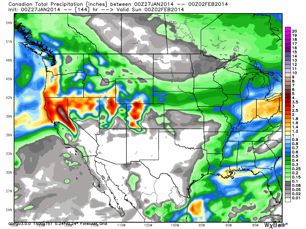
The question with these types of systems is always how fast does the colder air move in compared with the heaviest precipitation. Above 7000 ft. on the mountains the forecast is easier as most of the event will be all snow. Lake level will be a little trickier where up to half of the precip could fall as rain. Precip totals this morning are similar to yesterday with most models showing 1-2 inches of liquid over the basin and 2-3 inches along the crest. The Canadian is at it again this morning showing twice as much precip.
Snowfall totals above 8000 ft. currently look like they could be 1-2 feet across the basin. Above 7000 ft. 8-18 inches across the basin. At lake level it will be tricky. Right now it looks like 4-12 inches are possible.
Cold settles in for the weekend with lingering snow showers possible. Another low will approach the coast on Sunday. The GFS has it falling apart. The European model runs show it heading down the CA coast keeping the precip to our West. If it comes further inland and holds together we could have additional snowfall on Sunday.
Long-Range:
Next week we start out dry and start to warm up slightly. By the end of next week the European model runs show a cold and stormy pattern developing. The GFS has been waffling and on the most recent runs shows us staying dry. We will have plenty of time to analyze after the storm this week.
Stay tuned....BA
About Our Forecaster
Bryan Allegretto
Forecaster
Bryan Allegretto has been writing insightful posts about snow storms for over the last 15 years and is known as Tahoe's go-to snow forecaster. BA grew up in south Jersey, surfing, snowboarding, and chasing down the storms creating the epic conditions for both.
Free OpenSnow App


