Colorado Daily Snow

By Joel Gratz, Founding Meteorologist Posted 9 years ago October 2, 2014
Powder day (well, not yet)
Summary:
About 4-6 inches of snow fell on Wednesday and Wednesday night and the mountains are white as the sun rises on Thursday morning. Expect dry weather for 7 days with the next chance for snow/rain around Thursday or Friday October 9/10.
Details:
Yesterday's storm moved through about as expected and most ski areas saw their first significant snow of the season. I was trying to get work done on Wednesday but all I could do was refresh the webcams...
The first wave moved through between about 10am-2pm. Heavier snow showers during this time pulled cold air down from aloft and snow flakes fell all the way to about 7,500ft. Aspen was one of the lucky towns that saw snow and a coating temporarily accumulated at an elevation of around 8,000ft.
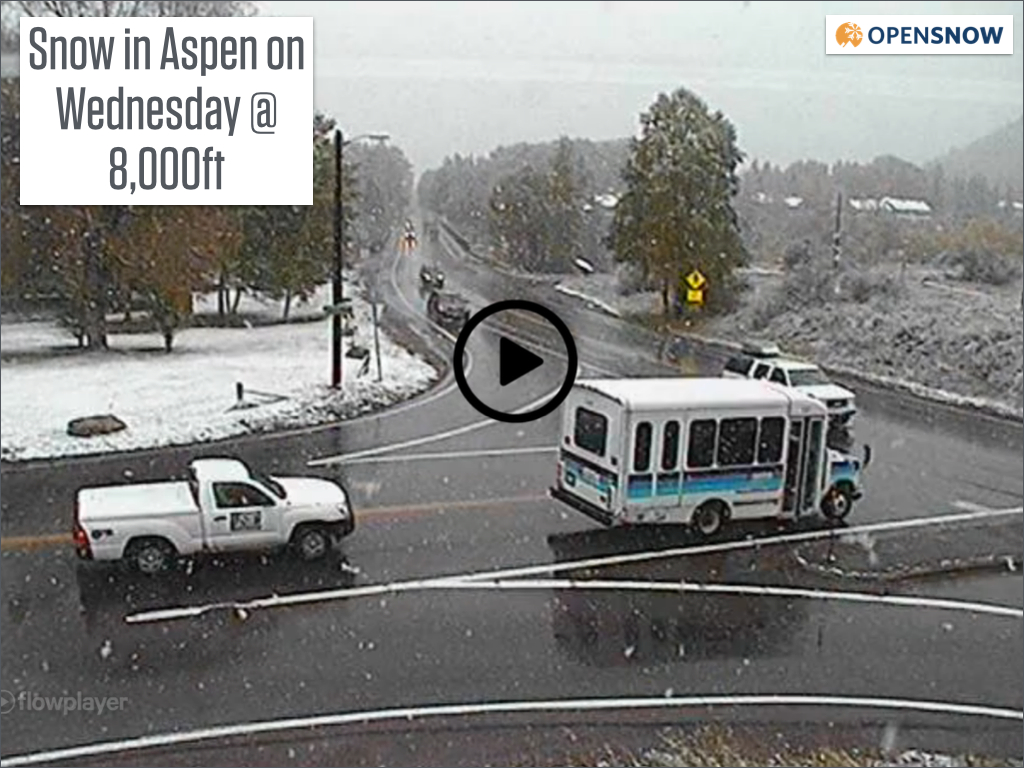
Webcam view of snow falling in Aspen on Wednesday midday. Source: OpenSnow.com via CDOT
After a lull in the afternoon, another wave moved through Wednesday night with a few more inches. In total about 4-6 inches of snow fell on Wednesday and Wednesday at ski area elevation, and I'm sure some higher elevation areas saw 6-8 inches.
Now on Thursday morning, there are some lingering clouds and snow showers but this should dissipate by mid morning. Temperatures are in the upper teens and lower 20s, so some mountains have fired up their snow guns, including Arapahoe Basin.
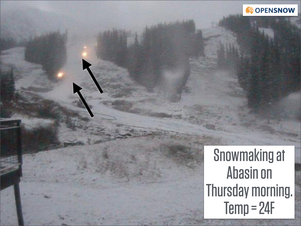
Webcam view of snow snowmaking at Abasin. Source: OpenSnow.com via Abasin
The rest of Thursday should turn out dry and sunny with chilly temperatures for early October.
A quick-moving storm will skirt northeast Colorado on Thursday night into Friday morning, with the only impact to our mountains being gusty wind and a few clouds and snow flurries along the divide north of I-70.
Then Friday through next Wednesday will be dry and partly to mostly sunny with warming temperatures each day.
Our next chance of snow and rain will arrive sometime around Thursday or Friday October 9/10 as a tropical storm west of Mexico makes a big right turn and moves toward Colorado. This storm might hit us with precipitation or the best snow and rain might miss us to the south ... too early to know.
Most major models are then showing that the middle of October will transition to a stormier period across the western US, so I'll keep an eye on the long-range forecast so see if we can get cold and snow to return by mid month.
JOEL GRATZ
OpenSnow.com
About Our Forecaster
Joel Gratz
Founding Meteorologist
Joel Gratz is the Founding Meteorologist of OpenSnow and has lived in Boulder, Colorado since 2003. Before moving to Colorado, he spent his childhood as a (not very fast) ski racer in eastern Pennsylvania.
Free OpenSnow App


