Colorado Daily Snow

By Joel Gratz, Founding Meteorologist Posted 9 years ago October 18, 2014
Weekend showers, more action Tuesday/Wednesday
Summary:
Afternoon showers on Saturday, Sunday, and Monday. Most mountains will see rain/snow on Tuesday afternoon through Wednesday, then we return to dry weather through next weekend.
Details:
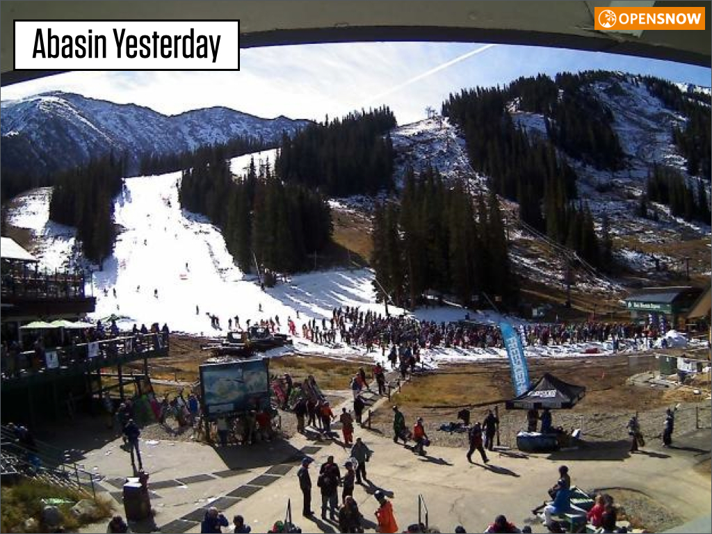
The picture below shows that quite a few people turned out for Abasin's opening day yesterday!
I also heard from a reader that was curious about the amount of snow that Abasin and Loveland would each have to make in order to open. This reader did some quick work on Google Earth and found that the number of acres of snow to cover the first trail was about twice as many acres at Loveland as compared to Abasin. So this might partially explain why Abasin was able to open more quickly.
Back to weather...
Today, Sunday, and Monday, look for a few afternoon showers south of I-70, with most of the showers confined to the San Jan and Sangre de Cristo mountains of southern Colorado.
Then a weak and warm storm will move across Colorado on Tuesday into Wednesday, so look for rain and snow over 10,000 feet from Tuesday afternoon through Wednesday evening. It won't rain during that entire time, but it will be mostly cloudy.
Next Thursday, Friday, and through next weekend will be dry as the storminess stays to our north and west over Washington and British Columbia.
Like a broken record, the models still indicate some storminess moving closer to Colorado during the last few days of October, so I'll keep an eye on it.
JOEL GRATZ
About Our Forecaster
Joel Gratz
Founding Meteorologist
Joel Gratz is the Founding Meteorologist of OpenSnow and has lived in Boulder, Colorado since 2003. Before moving to Colorado, he spent his childhood as a (not very fast) ski racer in eastern Pennsylvania.
Free OpenSnow App


