Upper Midwest Daily Snow

By Andrew Murray, Technical Founder & Meteorologist Posted 9 years ago October 31, 2014
Happy Halloween! Let it snow!
Stepping outside this morning in the Upper Midwest, it finally felt like winter is on its way.
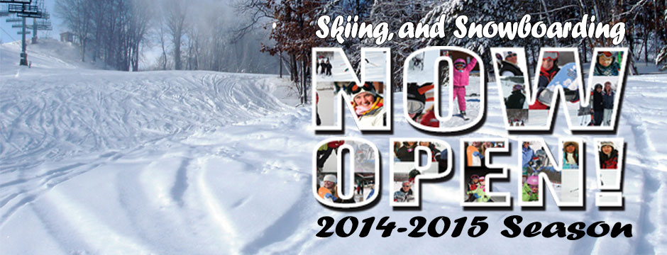
But first some very exciting news... Wild Mountain opens this afternoon!
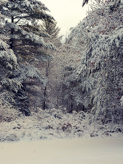
In other snow related news, the UP got a quick couple of inches over the past few days as the cold front slowly moved through the area and kicked off some lake effect snow showers. These snow showers should linger for another 6 to 12 hours before dissipating, but areas in the Ironwood Range and Keweenaw could see almost 6" by the time the sun comes out.
After this brush of snow, it looks like it could be another quiet week ahead with more seasonal temperatures and nothing in the form of frozen precipitation. However the models are starting to hint at another, more significant storm, possibly near the end of next week. It's much too early to tell, but very exciting to think about now that we're headed into November.
Time to start waxing those skis!
About Our Forecaster
Andrew Murray
Technical Founder & Meteorologist
Andrew manages the technology that powers OpenSnow, and he also keeps an eye on the weather for the Upper Midwest from his home base in Minneapolis since 2015.
Free OpenSnow App


