Tahoe Daily Snow

By Bryan Allegretto, Forecaster Posted 8 years ago April 27, 2015
An Early Adieu...
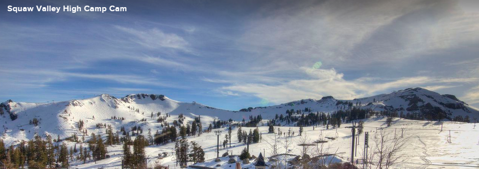
We saw the final storm of the ski season move through Friday night into Saturday. Ironically after a dismal snow season the storm was one of the biggest of the season for lake level locations. Reports from around the lake of 4-8 inches of snow as snow levels fell below lake level Friday night to near Truckee level around 5800' for a little while. The only ski resort still open Squaw Valley reported a storm total of 15 inches up top and 9 inches at the base. That was over 10% of the season total of 88 inches for the base in one storm.
It was nice to see the mountains looking snowy again this weekend. It has been cool too with a cool East wind today. This storm brought Squaw Valley to 216 inches for the season which is the highest season total since they were the only resort still adding to the totals. But they too fell short of 50% of the seasonal average for the season.
This was the last storm we will track for the ski resorts this season as they are all closed as of tomorrow. It was a painful season of tracking storms or the lack there of. We had a good start in December and then a January to March dejavu of the last 3 seasons. December was by far the snowiest month followed by February at about half of December's snowfall, and April a close 3rd. We had very little snow in March and almost no snow in January.
Thank you to all of you for reading along during this brutal snow season. Hopefully next season we have a lot more to talk about. I get energized by snow storms and I definitely felt the lack of energy this season during the long stretches without snow. I look forward to a season of energized discussions about continuous snowfall and high stoke levels around the basin for an entire season.
The weather is going to warm on Monday to near 70 at lake level with high pressure over the West Coast. As high pressure moves East and a trough moves into Western Canada and the Pacific NW, the temperatures will cool a few degrees into the 60's the rest of the week. The next chance for a trough and possible moisture looks to be around the 6th of may as a trough possibly settles over CA. The climate models are showing more rain and snow in May for CA.
I will post if there is anything significant in the way of snowfall approaching. Normally this time of year there is still a snow pack that can be hiked to for late season snowfall. If we see snow in May the best options may be heading down to Mammoth or up to Lassen and Shasta. I spent the weekend in Redding at the Kook April Nites car show and Lassen and Shasta still had plenty of snow on them.
Thank you again for obsessing the snow with us on our site, we appreciate you, tell your friends....BA
About Our Forecaster
Bryan Allegretto
Forecaster
Bryan Allegretto has been writing insightful posts about snow storms for over the last 15 years and is known as Tahoe's go-to snow forecaster. BA grew up in south Jersey, surfing, snowboarding, and chasing down the storms creating the epic conditions for both.
Free OpenSnow App


