Upper Midwest Daily Snow

By Andrew Murray, Technical Founder & Meteorologist Posted 9 years ago January 19, 2015
"Warmer" winter weather for the week!
While nothing too exciting in the forecast this week, in terms of skiing weather for the Upper Midwest, things could not look much nicer. Persistent northwest flow will allow for warmer temperatures and almost continuous snowfall chances each day this week across the region.
With a ridge over the western United States, the Upper Midwest is set up perfectly to be in line for a train of shortwave low pressures system to affect the area over the coming week. Today's will be the strongest, and slowest moving, with the best chance of an inch or maybe two over northern Minnesota and Wisconsin. Further south, amounts will be lighter, barely reaching an inch.
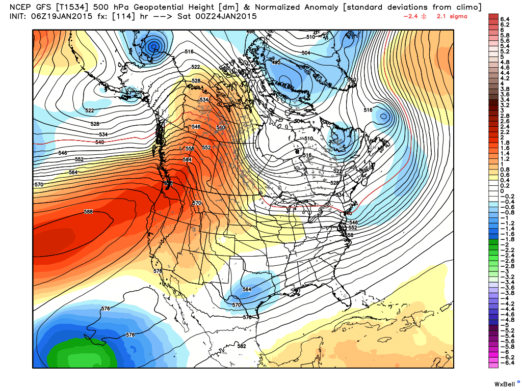 Large ridge over the west, means warmer temps and snow showers for us
As for the rest of the week, the best chances for snow look to be today, Tuesday afternoon, and Thursday morning across the area. With each of these passing low pressures systems, nowhere should see more than an inch, with a dusting being most common. Additionally, with very little wind and warmer temperatures, there is very little chance for any significant lake effect snow during the week too. This setup will also allow for much more pleasant winter temperatures to be the norm the entire week, with highs in the 20s and 30s.
It's the perfect week to go skiing!
About Our Forecaster
Andrew Murray
Technical Founder & Meteorologist
Andrew manages the technology that powers OpenSnow, and he also keeps an eye on the weather for the Upper Midwest from his home base in Minneapolis since 2015.
Free OpenSnow App


