Upper Midwest Daily Snow

By Andrew Murray, Technical Founder & Meteorologist Posted 9 years ago March 30, 2015
A little snow, but spring is here
Most ski areas around the Upper Midwest have already closed with spring sweeping in early this season. With that being said, most places in the UP and Lutsen are still open and look to have a little snow (and unfortunately some rain) coming this week.
The best chance for snow in the coming week will be on Monday night and into Tuesday, when a low pressure system will bring snow showers to the North Shore and UP. Amount will very much be on the light side with 1-2" at most, and it won't stick around long as the snow will switch over to rain by Tuesday afternoon. The same will hold true for Thursday night and into Friday, but with even lighter snow amounts.
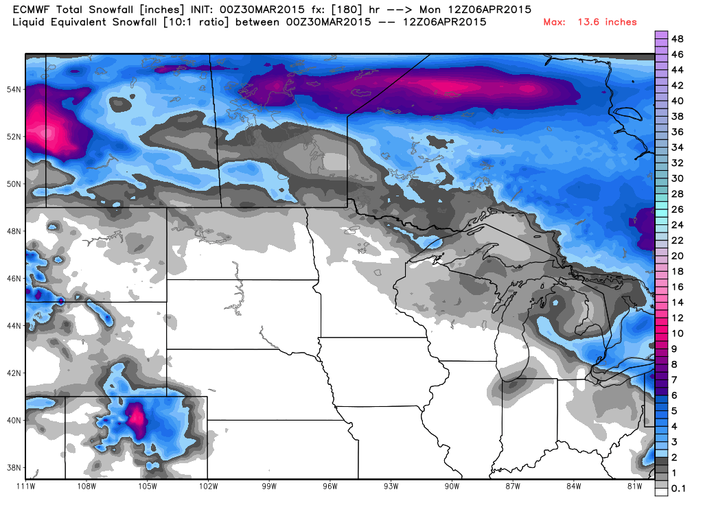 Snowfall totals over the next week. Spring is here!
It looks like there will be a snow shower here and there, but spring looks to be well on its way!
About Our Forecaster
Andrew Murray
Technical Founder & Meteorologist
Andrew manages the technology that powers OpenSnow, and he also keeps an eye on the weather for the Upper Midwest from his home base in Minneapolis since 2015.
Free OpenSnow App


