I-80 California Daily Snow

By Bryan Allegretto, Forecaster Posted 4 years ago December 9, 2019
Update
The Week Ahead:
It looks like a fairly dry week through Thursday outside of a coating to an inch of snow possible Tuesday night into early Wednesday morning. Watch for slippery roads and possible brief chain controls into Wednesday morning if we see a burst of snow that covers the roads.
Thursday night through Friday night we could see some rain all the way over Donner Pass. Roads should stay wet through Friday.
Saturday:
Saturday the rain could transition to snow through the day. That could bring rougher travel and chain controls along I-80 through the Sierra on Saturday.
We will continue to fine-tune the forecast all week.
Long-Range:
We could see drier weather the 15th - 17th, and then a more active pattern could return around the 18th - 19th. Stay tuned...
BA
P.S. Did you know that you could receive the I-80 Daily Snow via email as soon as the latest report is published? Subscribe to our Daily Snow Forecast Alerts (Settings > Snow Alerts).
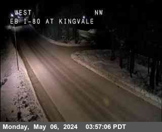
I-80 Road Cams below...
Graph from NWS Reno
When Using the OpenSnow App, Click Web Cam Link to See the Camera.
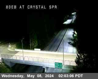
Crystal Springs, Exit 148 - 3,868'
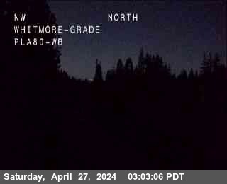
Whitmore Grade, Exit 154 - 5,022'
Soda Springs, Exit 174 - 6,768'

Castle Peak, Exit 176 - 7,165'
Donner Lake, Exit 180 - 6,394'
Truckee Scales, Exit 191 - 5,826'
NV State Line, Exit 2 - 4,800'

If you are traveling through the Sierra please use the links below for travel advisories as we do not give our opinions for the "safest" or "best" travel times for liability reasons. You can also follow our I-80 Daily Snow forecast as well.
NWS Reno: https://www.weather.gov/rev/
NWS Sacramento: https://www.weather.gov/sto/
CA road conditions: http://www.dot.ca.gov/cgi-b... (and 1-800-427-7623)
NV road conditions: https://nvroads.com/
OSS weather share: http://oss.weathershare.org/#
About Our Forecaster
Bryan Allegretto
Forecaster
Bryan Allegretto has been writing insightful posts about snow storms for over the last 15 years and is known as Tahoe's go-to snow forecaster. BA grew up in south Jersey, surfing, snowboarding, and chasing down the storms creating the epic conditions for both.
Free OpenSnow App


