I-80 California Daily Snow

By Bryan Allegretto, Forecaster Posted 4 years ago April 4, 2020
Snow Saturday through Tuesday...
Update
Weekend Snow:
The next storm moves in Saturday morning around 10-11 AM near Donner Summit with snow showers through the day on Saturday and into Saturday night. This system could bring several inches of snow to the Sierra by Sunday morning. The next storm moves in Sunday morning with no breaks in the snow showers, with heavy snow expected Sunday afternoon into Sunday night. We could see a couple more feet of snow by Monday over Donner Summit.
Snow levels may start near Blue Canyon to Truckee Saturday. We may just see wet roads during the day under lighter showers with a possible coating on the roads over Donner Summit under any heavier bands. Any chain controls Saturday will increase into Saturday night as the sun goes down. The heavier snow on Sunday will bring continue chain controls from around Blue Canyon to Truckee by Sunday afternoon. Sunday night snow levels crash and we could see chain controls over a longer stretch of road down to lower elevations.
Be prepared for winter driving conditions and chain controls if you plan to travel through the Sierra over the weekend. Also, expect possible closures at times Sunday afternoon and night, especially for trucks. Gusty winds may also cause blowing snow and even lower visibility at times.
Monday - Tuesday Snow Showers:
The 2nd storm may linger over CA through Tuesday with snow showers lingering. That may only bring wet roads during the day but could bring slick roads at night.
Long-Range:
We may see a drier pattern starting Wednesday...
BA
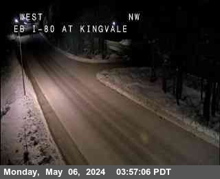
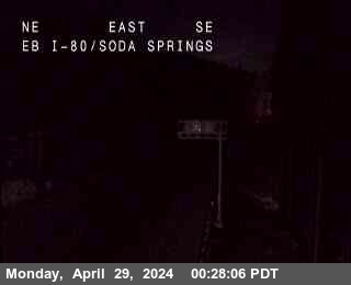
I-80 Road Cams below...
Graph from NWS Reno
When Using the OpenSnow App, Click Web Cam Link to See the Camera.
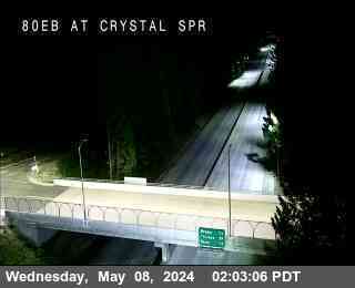
Crystal Springs, Exit 148 - 3,868'
Blue Canyon, Exit 154 - 5,022'
Soda Springs, Exit 174 - 6,768'
Donner Summit, Exit 176 - 7,165'
Donner Lake, Exit 180 - 6,394'
Truckee Scales, Exit 191 - 5,826'
NV State Line, Exit 1 - 4,800'

If you are traveling through the Sierra please use the links below for travel advisories as we do not give our opinions for the "safest" or "best" travel times for liability reasons. You can also follow our I-80 Daily Snow forecast as well.
NWS Reno: https://www.weather.gov/rev/
NWS Sacramento: https://www.weather.gov/sto/
CA road conditions: http://www.dot.ca.gov/cgi-b... (and 1-800-427-7623)
NV road conditions: https://nvroads.com/
OSS weather share: http://oss.weathershare.org/#
About Our Forecaster
Bryan Allegretto
Forecaster
Bryan Allegretto has been writing insightful posts about snow storms for over the last 15 years and is known as Tahoe's go-to snow forecaster. BA grew up in south Jersey, surfing, snowboarding, and chasing down the storms creating the epic conditions for both.
Free OpenSnow App


