US and Canada Daily Snow

By Alan Smith, Meteorologist Posted 3 years ago April 14, 2021
Snowy pattern for Colorado, Central Rockies
Summary
An active pattern across the Central Rockies will result in multiple days in a row of new snow with mid-April powder days possible for ski areas that are still open. New England will also see a bonus late-season storm on Friday and Saturday with heavy snow for portions of Vermont, New Hampshire, and Maine.
Short Term Forecast
Multiple days of snow ahead for Colorado
A slow-moving area of low pressure will work its way across the Rockies over the second half of the week with deep totals adding up across the Colorado Rockies over the course of several days. Portions of Wyoming, Montana, Utah, and New Mexico will get in on the action as well while a warm and dry pattern will take hold farther north across the Pacific Northwest and British Columbia.
The 7-day snow forecast map below is from a blend of weather models and gives a good idea of which areas will be favored across the West.

Forecast for Wed, Apr 14 – Thu, Apr 15
Moderate to heavy snow will fall across the northern/central ranges of Colorado on Wednesday and Thursday with deep totals extending into southern/central Wyoming and the Uinta Range in Utah. Farther west, light to moderate snow will fall across Tahoe and the Sierra Nevada Range.
Up north, a strong storm will bring deep totals to Alaska where heli-ski season is in full swing (and where Alyeska and Eaglecrest resorts remain open).

Forecast for Fri, Apr 16 – Sat, Apr 17
Periods of snow will continue across the Rockies on Friday and Saturday with Colorado and Northern New Mexico being favored for the deepest totals. A strong late-season storm will also impact New England with rain changing over to heavy snow on Friday and Saturday. Deep totals are possible across Vermont, New Hampshire, and Maine where several ski areas remain open.

Forecast for Sun, Apr 18 – Mon, Apr 19
Snow could linger across portions of New Mexico and Colorado into Sunday. Meanwhile, another storm will drop in from the north along the Continental Divide on Sunday and Monday with areas east of the Divide in Alberta, Montana, and Wyoming being favored for moderate snow totals.

Extended Forecast
Outlook for Tue, Apr 20 – Sat, Apr 24
Additional snow is possible along the eastern slopes of the Continental Divide during this period, but a trend toward high pressure and warm/dry conditions is projected for areas west of the Continental Divide. The East will see colder and more active weather, and while it's getting late in the season, additional snow can't be ruled out across the higher elevations in New England.

Thanks so much for reading! Check back for my next post on Wednesday, April 21st.
ALAN SMITH
Announcements
Check out our summer service, OpenSummit
Plan your next adventure with expert-level weather data that’s easy to use.
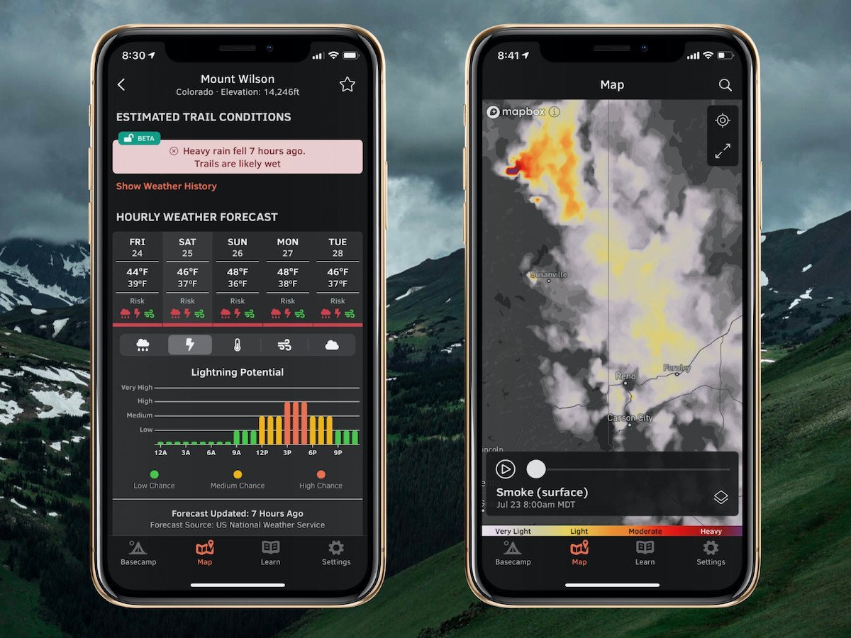
With OpenSummit, you can quickly...
- See if a trail is dry or wet based on recent weather trends.
- View color-coded risk assessment for rain, lightning, and wind.
- Track smoke from wildfires and forecast this smoke for the next 18 hours.
"If you are a person who likes to hike, bike, or just visit the high country and want to have the most accurate weather forecast at various elevations, OpenSummit is absolutely the best app." – Ed, iOS App Review
Download → OpenSummit App
About Our Forecaster
Alan Smith
Meteorologist
Alan Smith received a B.S. in Meteorology from Metropolitan State University of Denver and has been working in the private sector since 2013. When he’s not watching the weather from the office, Alan loves to spend time outdoors skiing, hiking, and mountain biking, and of course keeping an eye on the sky for weather changes while recreating.
Free OpenSnow App


