
Avalanche Forecast
Avalanche Forecasts are for use by experienced backcountry travelers in uncontrolled sidecountry and backcountry terrain. These forecasts and conditions do not apply to open, in-bounds terrain at ski resorts, which is subject to avalanche control by local resort ski patrol.
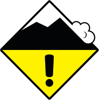
Avalanche Rating
Moderate (2)
Warning! This is an outdated forecast.
Conditions may evolve quickly at this time of year.
Be wary of loose wet avalanches on steep features, especially if solar radiation is strong.
More Detail
To get the complete forecast with additional graphics and details, please view the Avalanche Canada Zone forecast provided by Avalanche Canada.
Snowpack Discussion
20 to 40 cm of heavy snow accumulated overnight Monday. This adds to a buried crust or rain-soaked surfaces at most elevations. At upper elevations, 30 to 50 cm of dense recent snow can be found.
A late-January weak layer (hard crust, facets, or surface hoar) is buried 100 to 150 cm deep, this layer should be entombed beneath a firm crust in most areas, with some uncertainty around the highest elevations of the region.
The lower snowpack is strong and bonded.
Avalanche Activity
No new avalanche was reported, but field observations are limited.
Recent heavy new snow and high winds make for reactive slabs at upper elevations while heavy rain likely triggered loose wet avalanches at lower elevations.