News

By Sam Collentine, Meteorologist Posted 10 years ago November 19, 2014
LAKE EFFECT: Snowpocalypse In Buffalo
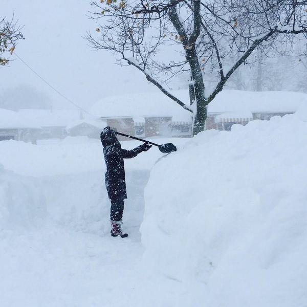
A classic lake effect snow is slamming Buffalo, New York and the surrounding areas. The National Weather Service is forecasting 3-4 feet for many areas south of Buffalo with local amounts of 5-6 feet! Yet another band of heavy snow will begin on Wednesday night with accumulations of up to 2 feet expected through Thursday night. Wow!
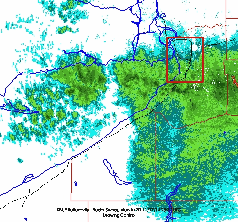
What exactly is a lake effect snow you ask? It is snow showers that are created when cold, dry air passes over a large warmer lake, such Lake Erie in this case, and picks up moisture and heat. More specifically with this storm, it is a very intense, localized band of snow with sharp contrasts in snowfall rates and accumulations. Here is an 18-hour radar loop courtesy of Jim Steenburgh at Wasatch Weather Weenies.
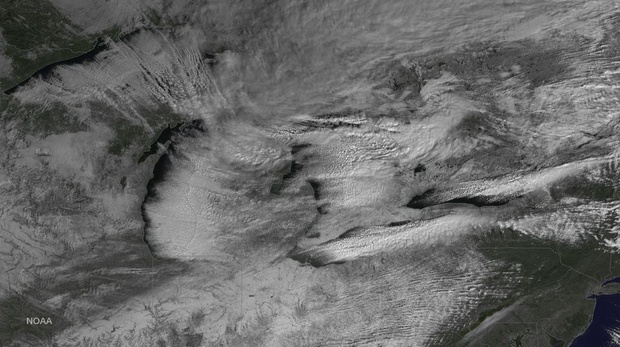
What also makes this particular series of snow bands so intense is that the large-scale flow is moving over the longest axis of Lake Erie. This allows the airmass to experience maximum heating and moistening. Also, the local heating over Lake Erie's surface generates land breezes that converge near the center lake axis, triggering and organizing the snowfall in an intense, localized band.
Below is a satellite image courtesy of NOAA. You can see the narrow, dense bands signaling the lake effect snow.
Check out this amazing time-lapse courtesy of YouTube user Alfonzo Cutaia.
I'll post again later on in the week with the best pictures and videos that I come across. Stay tuned!
Sam Collentine | OpenSnow
About The Author


