Montana Daily Snow

By Bob Ambrose, Forecaster Posted 8 years ago March 13, 2017
Spring Storms in line for the week
Summary
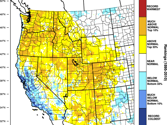
An extremely moist and abnormally warm weather pattern is in store for the Northern Rockies over the next 7 days. West of the Divide a series of spring disturbances, one Monday night, another on Wednesday, and yet another this weekend will bring tropical moisture streaming out of a westerly zonal flow delivering copious amounts of moisture along the Idaho border and to the resorts of NW Montana. Snow levels will start out tonight around 5500 and rise progressively through the week to around 8000’ by Wednesday night and Thursday. Look for Whitefish to add to their 17-day consecutive new snow streak with 4-8” of wet snow by tomorrow morning. East of the Divide the prognosis is the same, high snow levels but the moisture will be in much less amounts. Big Sky may see an inch or two each night but the skiing surface will mostly be of the spring variety all week.
Short Term Forecast

To read the rest of this Daily Snow, unlimited others, and enjoy 15+ other features, upgrade to an OpenSnow subscription.
Upgrade to an OpenSnow subscription and receive exclusive benefits:
- View 10-Day Forecasts
- Read Local Analysis
- View 3D Maps
- Get Forecast Anywhere
- Receive Snow Alerts
- My Location Forecast
- Add iOS Widgets
- Climate Change Commitment
- Upgrade to an OpenSnow Subscription
About Our Forecaster


