16 hours ago Alan Smith 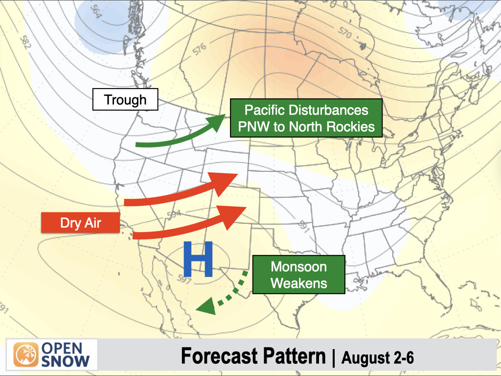
Colorado will see one more active t-storm day on Saturday, then a significant drying trend will take hold throughout the Southwest & Southern Rockies as the monsoon weakens substantially. Low pressure troughs will continue to track across the Northwest, bringing frequent showers & t-storms & cool temps to OR, WA, ID, & MT. Only a weak monsoon is expected in the SW thru the first half of August.


