Colorado Daily Snow

By Joel Gratz, Founding Meteorologist Posted 9 years ago August 23, 2014
Summary:
Showers will cover the mountains for most of Saturday, with the heaviest showers falling along and north of I-70. Temperatures will be cool enough for snow to fall over 13,000ft during the day, perhaps down to 12,000ft on Saturday night.
Details:
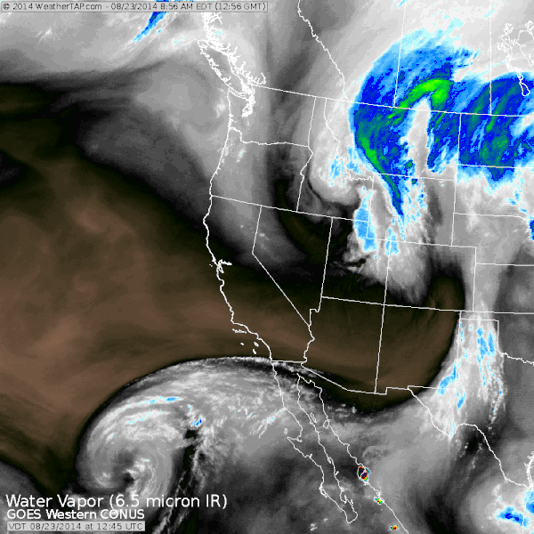
Here are four pictures showing Saturday's storm moving through. First, the satellite showing the storm spinning over Idaho, pushing energy down to Colorado.
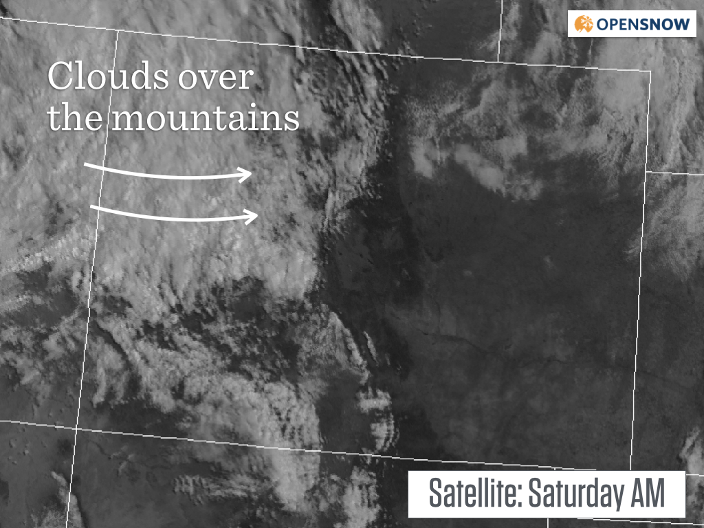
The mountains are socked in with clouds, at least north of the San Juans. This will continue through most of Saturday with a few breaks in the afternoon.
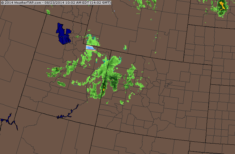
Under the clouds there are a few waves of rain moving through now, during the morning and midday, about 6-8 hours earlier than I talked about yesterday. The showers will continue through early afternoon, then after a break, there should be more showering during the afternoon (as evidenced by the showers now in Utah).
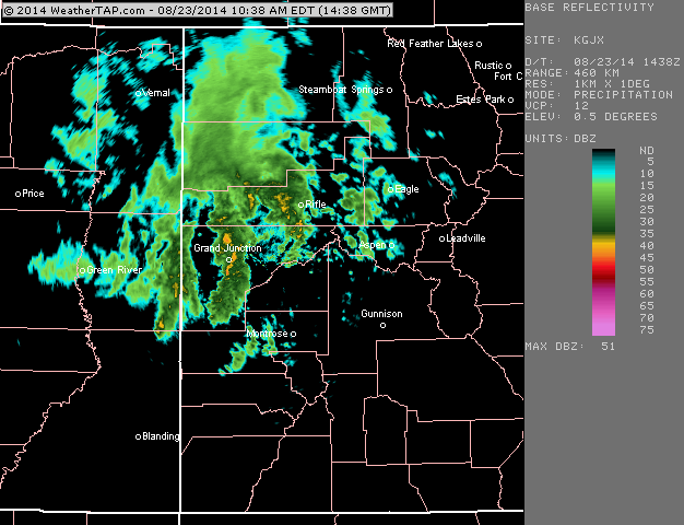
A closer look at the showers over western Colorado. This active weather pattern looks more reminiscent of fall than late August. Let's bring on winter!
I'm hoping to see snow accumulate on the highest peaks above 13,000ft, perhaps down to 12,500ft or even lower. Post pictures in the comments on Sunday morning if you see snow up high!
JOEL GRATZ
About Our Forecaster
Joel Gratz
Founding Meteorologist
Joel Gratz is the Founding Meteorologist of OpenSnow and has lived in Boulder, Colorado since 2003. Before moving to Colorado, he spent his childhood as a (not very fast) ski racer in eastern Pennsylvania.
Free OpenSnow App


