Colorado Daily Snow

By Joel Gratz, Founding Meteorologist Posted 9 years ago October 27, 2014
Cold front on the way...
As of 7pm the band of showers is just moving into northwestern Colorado and the forecast looks to be on track.
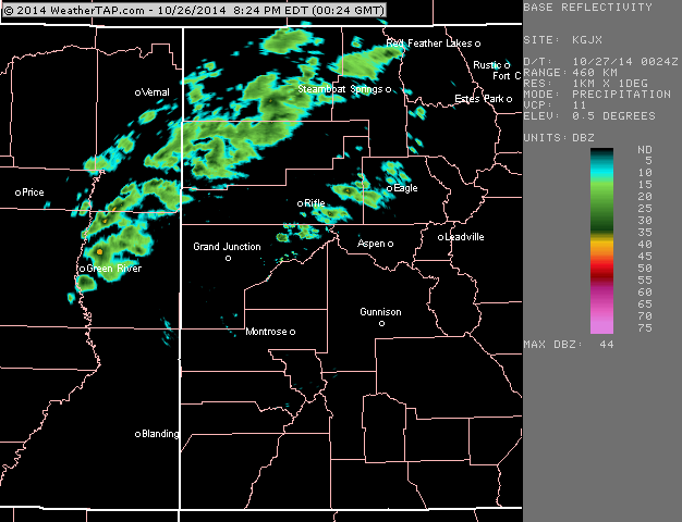
Colorado radar at 7pm Sunday evening. Source: Weathertap.com
This band will push across the mountains tonight with a somewhat brief but intense period of snow and rain resulting in a couple of inches for elevations above 10,000ft. Temperatures are warm right now and likely won't get to their coldest readings until after the band moves through, so the best snowfall will take place at the highest elevations.
The rest of Monday will be cool with lingering clouds for northern Colorado, and then Tuesday through Saturday will be dry and warmer. Our next chance for snow will be on Sunday November 2nd, with another storm possible around the 9th or 10th.
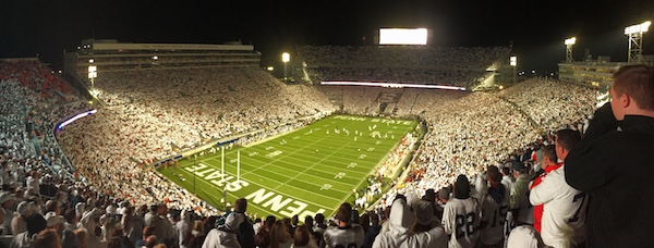
I'm flying back from Pittsburgh to Denver early on Monday morning so wanted to get this update out before then. Saturday night's Penn State vs Ohio State game was a good one and it left me exhausted with a barely audible voice after cheering for the entire game. The result of the game was a loss, but man was it fun to be at Beaver Stadium with 107,000 fans at night. Penn State was where I studied meteorology during my undergrad days (then I moved to Boulder for grad school).
Alright, enough about Penn State ... enjoy the Monday morning views of snowcapped mountains:-)
JOEL GRATZ
About Our Forecaster
Joel Gratz
Founding Meteorologist
Joel Gratz is the Founding Meteorologist of OpenSnow and has lived in Boulder, Colorado since 2003. Before moving to Colorado, he spent his childhood as a (not very fast) ski racer in eastern Pennsylvania.
Free OpenSnow App


