Australia Daily Snow

By Mike O'Connor, Meteorologist Posted 1 day ago July 24, 2025
Big Storm = Deep Powder Up High
Summary
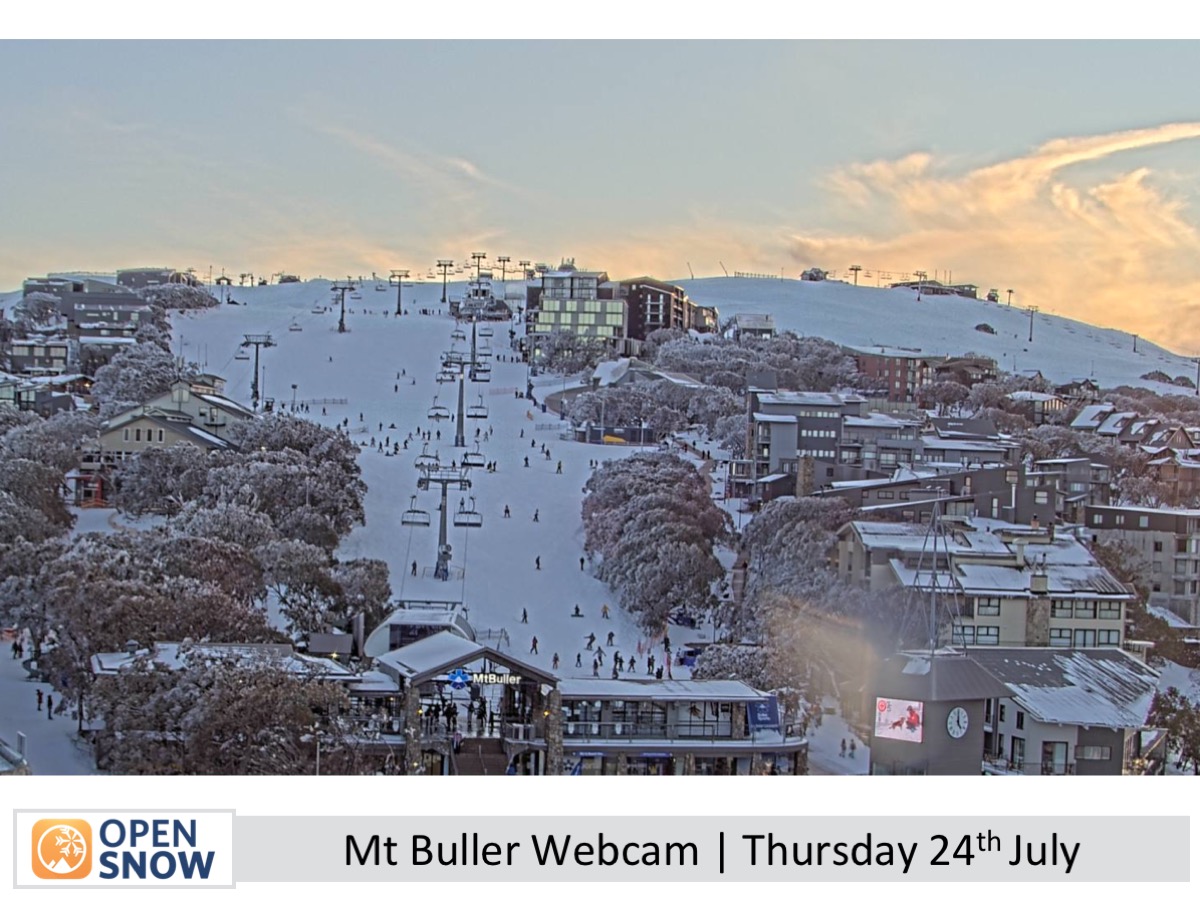
Snowpack is in great shape after a 10–15 cm top-up and solid snowmaking. A major storm arrives Friday night and lasts through Tuesday, bringing heavy snow to mid and upper slopes, with 65–85 cm possible up top. Strong winds will also return. Lower slopes may see significant rain, but a final dusting of snow is likely as colder air moves in Tuesday.
Short Term Forecast
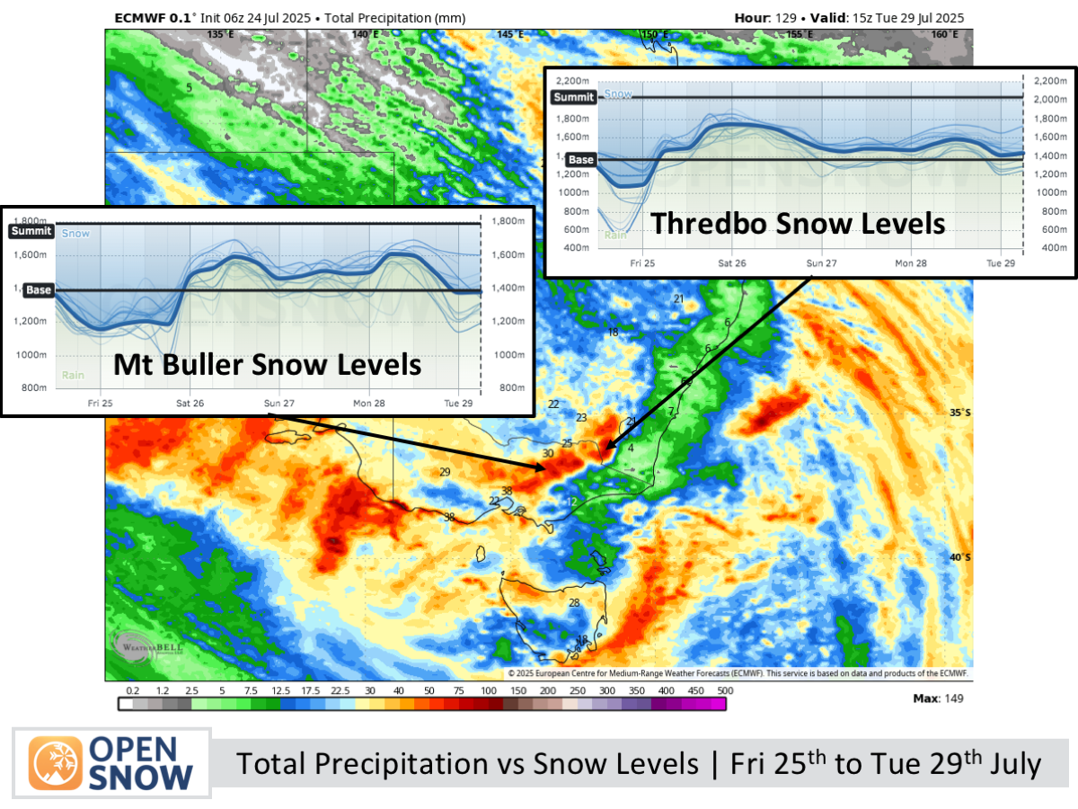
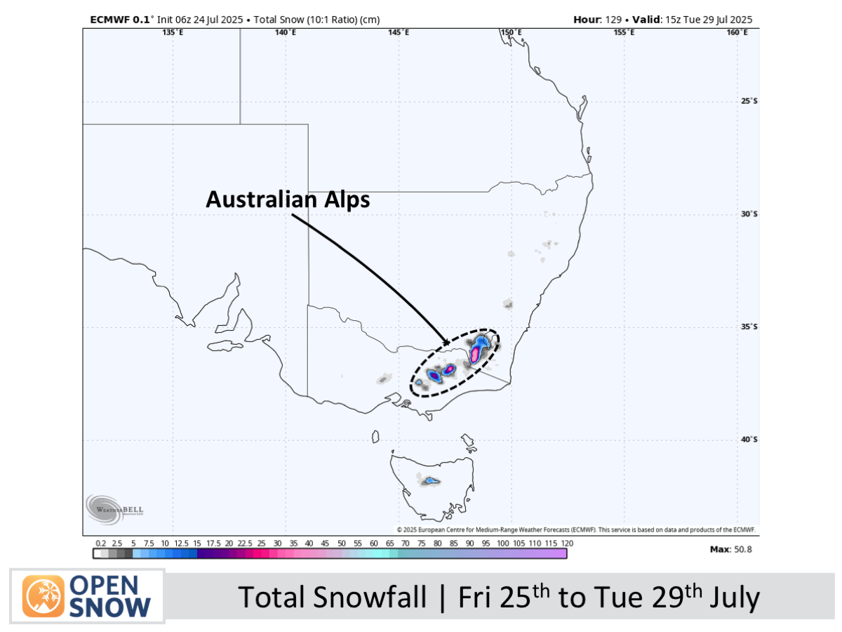
Forecast for Friday 25th to Tuesday 29th July
A strong storm brings rain and high-level snow to the Australian Alps from Friday night, with heavy snow expected on upper slopes through the weekend. Saturday sees continued snow up high and rain lower down, with strong northerly winds easing slightly. Snow continues Sunday and Monday to around 1500–1700 m, with strong northwesterlies persisting. The storm eases Tuesday, with snow levels dropping to around 1400 m before conditions settle.
Extended Forecast
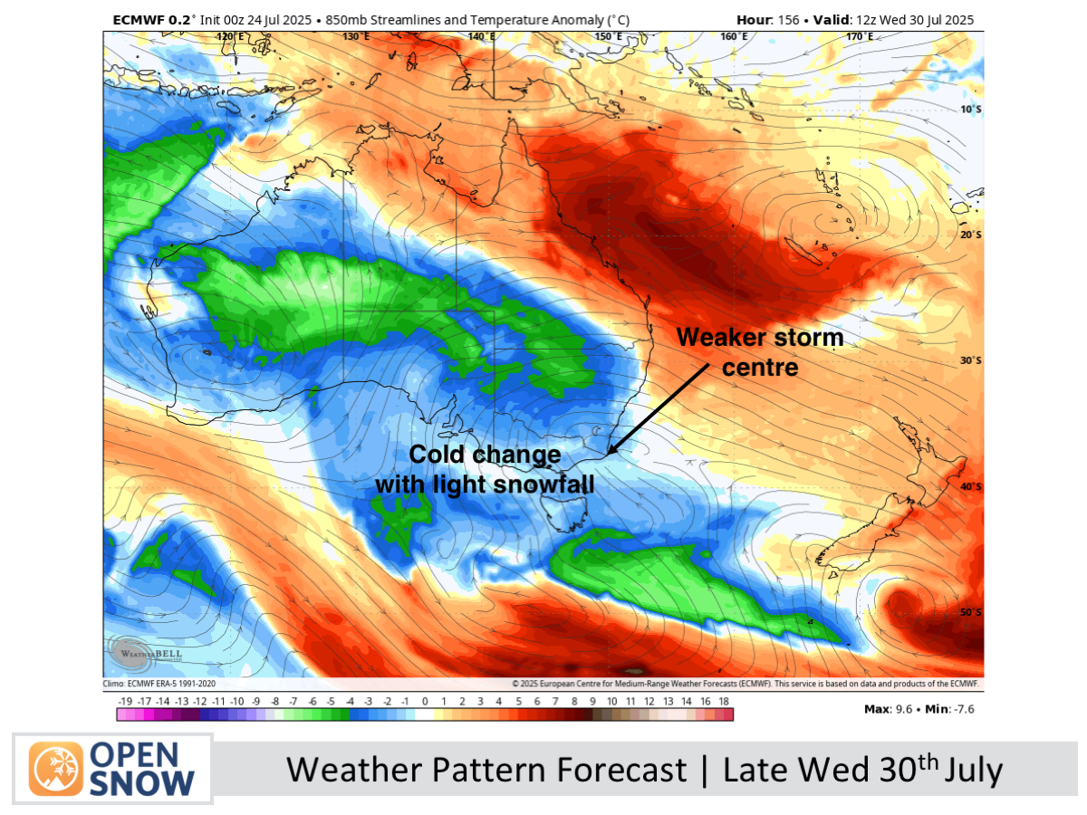
A weaker storm system is set to arrive quickly on Wednesday, July 30th, bringing colder air. It will deliver light snowfall to base levels through Friday, August 1st, and Saturday, August 2nd, adding a fresh layer over the existing snow.
Thanks for reading. The next forecast will be out on Monday.
Mike
About Our Forecaster


