Midwest Daily Snow

Heads up, there may be fresher snow! Read the latest Midwest Daily Snow

By Croix Christenson, Meteorologist Posted 1 year ago November 28, 2022

Survey Time - Snow Tuesday into Wednesday

Summary

After a mild final weekend of November, expect changes this week with rain and snow Tuesday into Wednesday. A brief warm-up is possible late this week before another system worth monitoring possibly visits the Midwest around December 3rd.

Short Term Forecast

I would appreciate it if you took the time to complete a short, anonymous survey on the Midwest Daily Snow. Thank you! 

Monday will bring a few snow showers and light snow, mainly in northeast Minnesota, with Giants Ridge and Lutsen possibly picking up a half inch to an inch of snow. 

The main event for the first half of this week arrives Tuesday morning, with snow quickly spreading into Minnesota, Wisconsin, and the UP during the morning. Snowfall amounts will generally be in the 2-7 inch range. 

Below is OpenSnow's multi-model forecasted snow for Tuesday:

Overall, I have medium confidence in this forecast - the band of snow could be quite narrow and when that occurs, the locations on the edge of the band tend to be overestimated. On the flip side, sometimes an area will get the heavier band for an extra hour or two as it pivots through the region. I will not be surprised if a location like Powderhorn sees 6+ during the day on Tuesday with some lake-enhanced snow. 

Ski Brule and Granite peak, for example, will be right on the edge of the rain and snow line - with just a 25-mile shift in the storm track, they would see 2-4 inches. As it stands now, they will likely see mostly rain or a mix on Tuesday. 

To illustrate the evolution of rain and snow from Tuesday morning to Wednesday evening there are two animations below, one of the GFS and one of the ECMWF:

ECMWF:

GFS:

Colder air will be pulled into the Lake Superior region Tuesday night, resulting in lake-enhanced snow off of the lake which will keep snow lingering into Wednesday for much of the UP. 

This system looks to bring mainly rain to southern Wisconsin and much of lower Michigan, with some light snow possible late Tuesday night into Wednesday, particularly up near Traverse City, Michigan. Snowfall accumulations are not expected to be significant, but maybe a few resorts can squeeze out an inch or two of lake effect snow off of Lake Michigan. 

How much snow from Tuesday morning to Wednesday evening? Here are some estimates:

To recap, expect snow from the Twin Cities up to portions of the UP on Tuesday, and rain or a mix elsewhere. Tuesday night snow mixes in and eventually turns to all snow on Wednesday with an inch or two possible in Lower Michigan. Granite Peak and Ski Brule are two locations to monitor as they could get mostly snow and 2-4 inches with a very small shift in the track of this system.

Extended Forecast

For the rest of the week, Wednesday night will be quite cold, with widespread lows in the single digits and teens. Friday we will see a brief warm-up with highs in the 30s and 40s. 

The next best chance of widespread snow looks to be around December 3rd. The ECMWF and GFS ensembles both have something worth monitoring but at this time it's way too early to make any bold claims on just how much snow and where it might fall. An early peak does suggest it may bring a mix of rain and snow similar to Tuesday's system. 

Peeking way out into what forecasters like to call "fantasy land", models do continue to suggest we get a visit from some arctic air around the 6th of December but are quite mixed on how long it sticks around and just how cold it will be. 

-Croix

About Our Forecaster

Croix Christenson

Meteorologist

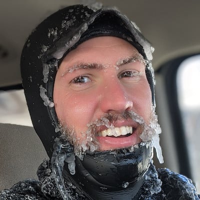
Croix grew up in Saint Paul, Minnesota where he developed his passion for the outdoors and snow. He attended the University of Wisconsin-Madison and received his BS and MS in Atmospheric Science. When not working, you will find Croix exploring his Duluth, Minnesota backyard by skiing, mountain biking, fishing, surfing, hiking with his dog Doppler, or just about any activity that gets him outside.

Free OpenSnow App