Northwest Daily Snow

By Larry Schick, Forecaster Posted 8 years ago December 16, 2016
Arctic Cold - Then NW Powder Returns
Summary
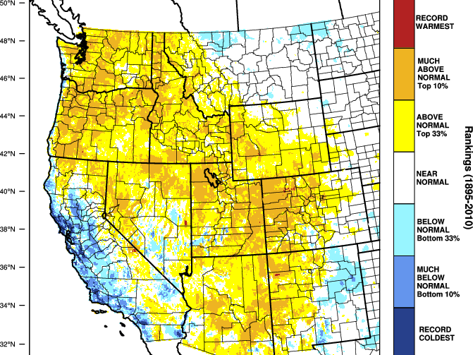
Two to three cold,dry days are on tap with a weak easterly flow bringing chilly weather into the NW. Snow levels will remain low, under 500 feet. A new weather system will increase snow later Sunday into Monday. Expect a more vigorous system Tuesday and Wednesday with significant new snowfall and primo powder days. Current snow pack is at or above normal. So far this in classic NW La Nina - with the promised cold, snowy pattern.
Short Term Forecast

To read the rest of this Daily Snow, unlimited others, and enjoy 15+ other features, upgrade to an OpenSnow subscription.
Create Free Account No credit card required
Already have an account?
Log In
Upgrade to an OpenSnow subscription and receive exclusive benefits:
- View 10-Day Forecasts
- Read Local Analysis
- View 3D Maps
- Get Forecast Anywhere
- Receive Snow Alerts
- My Location Forecast
- Add iOS Widgets
- Climate Change Commitment
- Upgrade to an OpenSnow Subscription
About Our Forecaster


