Southern California Daily Snow
Heads up, there may be fresher snow! Read the latest Southern California Daily Snow

By Mike Korotkin, Meteorologist Posted 12 months ago March 30, 2023

The Season that Keeps Giving

Summary

Snow showers are possible on Thursday. We dry out and warm up through the weekend with plenty of sunshine. By Sunday the winds increase as the next weak system comes through California. Monday we could see snow showers before we dry out again for most of next week. We may be entering a drier period...

Short Term Forecast

Storm Recap

This has been an impressive storm for certain areas. Mountain High has picked up an additional 8 - 12 inches of snow! That brings the 2 day total up to 18 inches on the upper mtn. That is certainly more than I was expecting for them. Mt. Baldy reported at least 9 inches but I think with more snow showers today there will be more than a foot there. Snow Valley is up to 10 inches and Bear Mtn. has hit 5 inches. Some of these mtns. may report a bit more snow for the final tally for this storm after snow showers this morning. 

Thursday Snow Showers 

We have snow showers hanging around the region this morning as expected. Those are expected to diminish in intensity as the day goes on.

Here's the forecasted precip through early tomorrow morning:

So not a lot but enough for maybe another 1 - 2 inches reported by most areas by Friday morning. Temps will be cold today with highs in the 20's and winds could still be a little gusty up to 30 MPH out of the West Southwest. Enjoy the cold fresh powder! 

Friday - Sunday Sunshine

You can see on the GFS height map that we'll see neither a big ridge or trough through the weekend in our region. That means temps won't be too hot but also not on the cold side. 

It also means we should see lots of sunshine. Winds will be lighter as well through Saturday. Temps will rise from the mid 30's on Friday into the mid 40's by Sunday. Winds will increase on Sunday up to 30 MPH out of the West Southwest ahead of the next weak system that could impact our area by Monday

Monday Showers

The system coming into the state by Sunday afternoon into Monday is going to favor the Northern & Central part of the California. As you can see on the GFS model below the weak system will bring a chance for precip by Monday afternoon. 

I'm really not expecting much out of this system. But temps do look cold enough for us to see snow and not rain. We will cool way back down into the low 30's by Monday and winds will increase out of the West Southwest up to 40 MPH.

Since this is my first real look at this system I'll put out my initial snowfall forecast, which is pretty unexciting. At this point there could be enough moisture for an inch or 2 of snow across our area. I'll keep updating you on that throughout the weekend and we'll see if the storm trends stronger or weaker. 

Extended Forecast

The rest of next week could be fairly dry. You can see on the GFS Ensemble Mean Precip Anomaly that we aren't likely to see more than average for the the middle of next week in terms of precip:

This time of year that doesn't mean much as it's not likely our average is very high overall. 

You can also see on the Ensemble runs that basically no members have any real precip for us after the Monday - Tuesday timeframe:

At this time I think the pattern is changing to a warmer and drier one as we go into the middle of April. Some operational model runs have shown a weak system again next Thursday into Friday, April 6th through the 7th but I'm not confident that will pan out just yet. 

I'll keep you posted. 

Till the next one... Mike out. 

Announcements

Fresh Tracks!

Pixie & The Partygrass Boys join the show to promote the WinterWonderGrass Festival at Palisades Tahoe from 3/31-4/2! We look at the insane snowfall totals on the updated Top 10 Snowfall List. Plus all of the Snowfall Reports and Forecasts for the Western ski regions.

Available on most podcast platforms...

About Our Forecaster

Mike Korotkin

Meteorologist

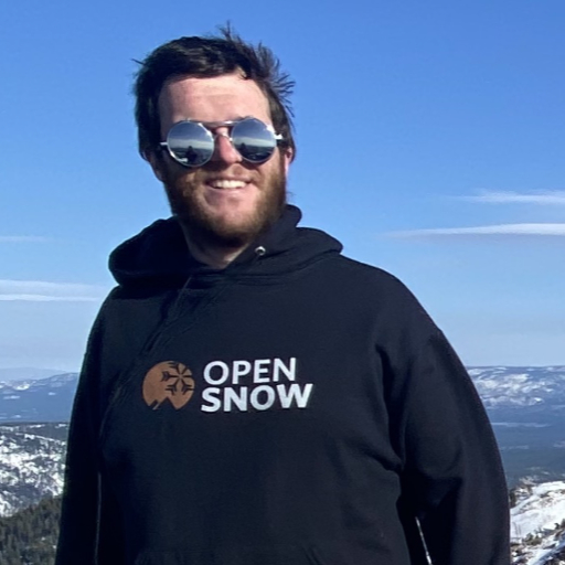
Mike graduated from UC Berkeley with a Bachelor’s in Atmospheric Science and received his Masters in Atmospheric Science at the University of Nevada Reno. He grew up in Southern California by the beach, but quickly realized he loved the mountains, so his first memories were of the SoCal mountains where he saw snow for the first time. He started skiing in his 20’s and is now an avid skier and backpacker at locations up and down the Sierra Nevada Mountains.

Free OpenSnow App