Southern California Daily Snow
Heads up, there may be fresher snow! Read the latest Southern California Daily Snow

By Mike Korotkin, Meteorologist Posted 18 days ago April 11, 2024

Final April Freshies?!

Summary

A couple more days of mostly sunny and milder weather will lead to a snowy and likely final storm of the ski season this weekend. We should see accumulations across the region with very cold temps for mid-April. Ski areas start closing this weekend and more will close next weekend, but after a pleasant albeit cooler week next week.

Short Term Forecast

Toasty Thursday & Cooler Friday

Big Bear announced that this will be the last weekend for operations for Snow Valley & Bear Mtn. To be honest that feels early given how much snow they've gotten recently. I don't have knowledge of what the melt looks like up there, but I'm sure it's significant. I figured they would stay open another week like Mtn. High, but alas only Snow Summit will stay open at least through the 21s. It will be one very cold and wintery final weekend of this season! 

We have 2 more days so nicer weather. It will be very warm on Thursday with highs in the mid to upper 50's on the mtns. By Friday temps might drop almost 10 degrees in places as the cut-off low spins closer to shore. We likely won't see any precip until Saturday. 

Winds will start to get more gusty on Friday with 35 MPH gusts by the afternoon out of the Southwest. 

Weekend Snow Storm 

We have big big changes coming as we've talked about most of the week. Just take a look at the temp anomaly for Saturday afternoon. 

It will be much colder on Saturday & Sunday and it will definitely feel like winter again. Temps will drop into the mid 30's on Saturday and look to be in the upper 20's on Sunday! That's very cold for us in mid-April.

Snow levels are still going to drop from the 6,500 FT range on Saturday morning down to about 5K FT on Sunday morning. They might stay a little higher at times with weaker precip rates but overall I'm still expecting accumulating snowfall at the ski areas. 

Winds will be gusty on Saturday with 35 to 45 MPH gusts out of the South-Southwest. Those will come down some on Sunday but will still remain in the 20 - 30 MPH range. So expect to bundle up for this final weekend for some ski areas. 

Precip Forecasts

As for preicp the GFS and Euro are starting to get into better agreement. You can see that on the graphic above. They both show at least 0.25 inches of liquid pushing out into the Big Bear region. That should ensure at least an inch or so of snow falling for them. 

My snowfall forecast isn't changing much. I'm going with 3 - 6 inches for the San Gabriel's through Sunday night and 1 - 3 inches for the Big Bear Mtns. Most of the snow will fall Saturday night into Sunday mid-day. By Sunday afternoon we'll only have showers that are clearing the area. Initially, the precip may start as rain on Saturday morning before the colder air arrives. 

I'll update you tomorrow on this forecast one more time since I will be traveling for work on Saturday and Sunday. Actually, I'm leaving tomorrow morning, but I'll get one more post out. 

Extended Forecast

Next week we definitely transition from true winter conditions, but I'm not certain we'll see full Spring conditions either. Temps will be cooler than average as you can see below. 

We might only be in the mid 40's and even upper 30's at times throughout the week as the ridge stays further East and we stay cooler. 

You can see for precip on the European Ensembles we have very limited if any chances for preicp next week. So it's likely we will finish this season out for a lot of areas on a dry final week. But it won't be too hot, so hopefully that keeps the snow fresher for longer. 

I'll keep you posted if I see changes. 

Till the next one... Mike out. 

Announcements

Weather Coverage For Every Season

Don’t forget that you can use OpenSnow as your go-to weather app, no matter the season.

Summer Features

  • Current Location Forecast
  • 10-Day Weather Forecasts
  • Current & Forecast Radar
  • Wildfire Smoke Forecast Maps
  • Estimated Trail Conditions
  • Hourly Lightning Forecasts
  • Offline Satellite & Terrain Maps
  • Hourly Historical Weather
  • 3D Maps (NEW)
  • Land Ownership Maps (NEW)
  • Forecast Along Route (Coming Soon!)

These features allow you to track the freeze/thaw cycle for corn snow and peak-bagging this spring, avoid lightning and wildfire smoke this summer, escape to the desert for hero dirt in the fall, and find every powder day next winter.

About Our Forecaster

Mike Korotkin

Meteorologist

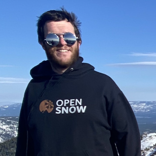
Mike graduated from UC Berkeley with a Bachelor’s in Atmospheric Science and received his Masters in Atmospheric Science at the University of Nevada Reno. He grew up in Southern California by the beach, but quickly realized he loved the mountains, so his first memories were of the SoCal mountains where he saw snow for the first time. He started skiing in his 20’s and is now an avid skier and backpacker at locations up and down the Sierra Nevada Mountains.

Free OpenSnow App