Steamboat Daily Snow

By Joel Gratz, Founding Meteorologist Posted 3 years ago December 31, 2021
Snow Friday into Saturday
Summary
Expect snow all day on Friday with some powder on Saturday morning as well.
Update
First, a note of sorrow and condolences. On Thursday, a fast-moving wildfire destroyed hundreds of homes in the area of Louisville and Superior, just south of Boulder and north of Denver. The fire was potentially sparked by a downed power line, and it moved very quickly due to wind gusts of 75-100+ mph. Most reports show that the fire destroyed at least hundreds of homes. I have friends that were directly impacted, and I am sure that many people in our OpenSnow community of snow lovers also lost homes and businesses. It's hard for me to be excited about powder in the mountains when a large part of a community burned and will take years to rebuild a sense of normalcy. Thankfully, it seems like the number of injuries is very, very low, which is perhaps the most important and comforting fact. I'll write a full forecast today but you may notice a lack of enthusiasm in my tone.
Thursday & Thursday Night
We saw little snow (about an inch) during this time as the storm had not quite arrived.
Friday
The cold front arrived just before sunrise and already 4+ inches have accumulated between 500am to 800am.
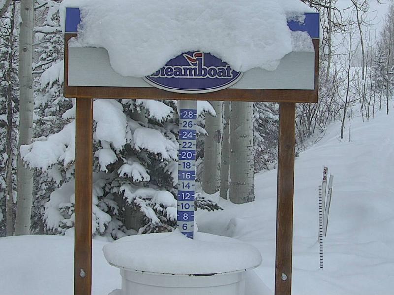
We should see moderate-to-intense snow continue all day on Friday, so each run might be as soft or softer as the last run. We should see 5-10+ inches accumulate throughout the day.
Friday Night
Snow showers could continue. I am keeping my expectations for snow on the lower side (maybe 2-4 inches) due to dissipating moisture, but, the temperature and wind direction is prime for a possible upside surprise, so keep your eye on the snow stake cams.
Saturday
There will be fun powder in the morning from Friday's leftovers and the new snow on Friday night. Any snow that continues to fall in the morning should shut off by late morning and midday. Dress warmly as temperatures will be near 0°F all day.
Sunday, Monday, Tuesday
These days will be dry and partly-to-mostly sunny. Temperatures on Sunday will be in the teens, then on Monday and Tuesday, we'll warm up into the 20s.
January 5 – January 9
It's possible that snow will return on Wednesday, January 5 with snow every day through Sunday, January 9. I still have low confidence in the details of whether we will see a lot of snow or just lighter snow. Stay tuned.
Thanks for reading and please check back each morning for daily updates!
JOEL GRATZ
Meteorologist at OpenSnow.com
Snow conditions as of Friday morning
New snow mid-mountain:
* 1” (24 hours Thursday 500am to Friday 500am)
* 1” (Overnight Thursday 400pm to Friday 500am)
New snow summit:
* 1” (24 hours Thursday 500am to Friday 500am)
* 1” (Overnight Thursday 400pm to Friday 500am)
Last snowfall:
* 17-21” Sunday – Thursday (Dec 26-30)
Terrain
* 14 of 17 lifts
* 147 of 169 trails
* Latest update
Snowpack compared to the 30-year average:
* 106%
PS – The significant changes to OpenSnow that I've talked about for the last week are now live. If you're an All-Access subscriber (thank you!), you'll see no changes. If you are not an All-Access subscriber, here is an FAQ with more details about the upcoming changes, and we hope that eventually, we'll earn your support. Also, you can watch 2-3 minute videos about these changes made by myself, our Tahoe forecaster BA, and our Utah forecaster Evan. And finally, check out our Utah forecaster Evan's Twitter thread showing exactly how he uses OpenSnow's All-Access features to track powder.
About Our Forecaster


