US & Canada Daily Snow

By Alan Smith, Meteorologist Posted 4 years ago April 21, 2021
More snow for Colorado & New England
Summary
Colorado, Utah, Montana, and New England have picked up significant snowfall over the past week with late-season powder days for areas that remain open. An active pattern will persist across Colorado this week while New England will be hit with another strong and cold storm. Early next week, a storm will bring moderate to heavy snow to much of the West.
Short Term Forecast
Recent powder days for Colorado, Utah, Montana, and New England
Active weather on both ends of the continent resulted in mid-April powder for resorts that are still open. Alta, Snowbird, Solitude, Breckenridge, Winter Park, Loveland, and Eldora all picked up 1.5 to 2.5 feet of snow from April 14th-20th. However, the deepest snow last week fell in Red Lodge, Montana where 31 inches of snow was recorded between April 13th-16th.
New England also scored big on a spring storm last Friday and Saturday (April 15th-16th) with double-digit totals recorded across the remaining open ski areas in Vermont. Mount Snow was the big winner with two-day snow totals of 20 inches.
The photo below is from Breckenridge on a powder day on April 16th.

Forecast for Wed, Apr 21 – Thu, Apr 22
The East will land their second big April snowstorm in less than a week with heavy snow for Northern New York and New England on Wednesday and lighter lingering snow into Thursday. There are still 5 New England ski resorts open (in Vermont and Maine) who will be able to enjoy the late snow.
In the West, a storm developing over the Southern Rockies will bring more snow to Northern Colorado on Wednesday and Thursday with lighter snow showers extending as far west as Tahoe. A storm will also slide down the Continental Divide in Canada and into the U.S. on Wednesday night and Thursday, bringing a round of snow to Alberta, Montana, and far eastern British Columbia.

Forecast for Fri, Apr 23 – Sat, Apr 24
Light snow will fall across the spine of the Rockies from Southern Montana to Colorado on Friday. On Saturday, a larger storm system will begin to impact the West with snow spreading into the Pacific Northwest and Northern Rockies.

Forecast for Sun, Apr 25 – Mon, Apr 26
A storm will impact the West on Sunday and Monday with moderate to heavy snow expected for many regions. Late season powder days could be in store for ski areas that remain open in California, Utah, and possibly Oregon and Washington. A storm will also impact the East during this time, but it will mostly be a rain event with perhaps some wet snow mixing in across the higher terrain.

Extended Forecast
Outlook for Tue, Apr 27 – Sat, May 1
After impacting the far west and portions of the Rockies on Sunday and Monday, the Western U.S. storm will slowly track east with the Central Rockies including Colorado projected to see snow next Tuesday and Wednesday. Heading into the second half of next week, the storm track will favor the Pacific Northwest and Northern Rockies with additional high elevation snow expected.

Thanks so much for reading! Check back for my next post on Wednesday, April 28th.
ALAN SMITH
Announcements
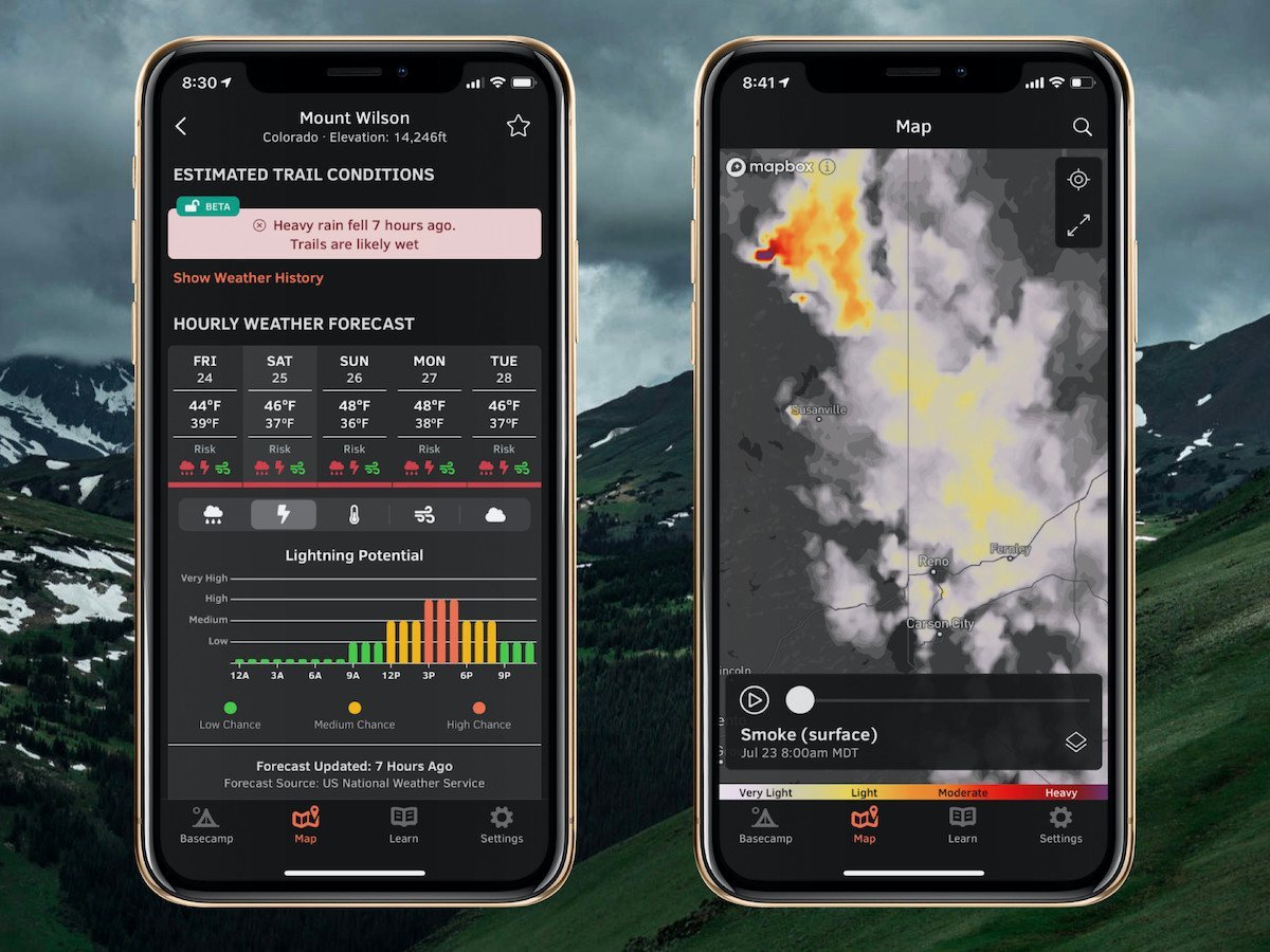
Check out our summer service, OpenSummit
Plan your next adventure with expert-level weather data that’s easy to use.
With OpenSummit, you can quickly...
- See if a trail is dry or wet based on recent weather trends.
- View color-coded risk assessment for rain, lightning, and wind.
- Track smoke from wildfires and forecast this smoke for the next 18 hours.
"If you are a person who likes to hike, bike, or just visit the high country and want to have the most accurate weather forecast at various elevations, OpenSummit is absolutely the best app." – Ed, iOS App Review
Download → OpenSummit App
About Our Forecaster


