US & Canada Daily Snow

By Alan Smith, Meteorologist Posted 4 years ago April 28, 2021
High elevations in Canada favored in late April & early May
Summary
Utah and Colorado picked up more snow over the past few days with Snowbird, Alta, and Loveland all reporting solid totals. Additional heavy snow totals are likely for Colorado on Wednesday AM reports. Warmer & drier conditions will prevail for the Western U.S. over the second half of the week while the pattern will turn more active in Western Canada with high elevation snow expected.
Short Term Forecast
Recent Snowfall across North America
A storm system impacted much of Western North America earlier this week with respectable snow totals reported at ski areas that are still open. Snowbird was the big winner over the 5-day period ending Tuesday morning with 11 inches, while Alta, Loveland, A-Basin, Banff Sunshine, and Squaw Valley also picked up 6-10 inches. The Northeast saw some more late-season action as well with 4 inches reported at Jay Peak.

Upcoming pattern for late April and early May
The Front Range of Colorado will wake up to more fresh snow on Wednesday morning, then the pattern over the remainder of the week and into the weekend will favor British Columbia with heavy snow expected for higher elevation areas. Higher elevations in the Northeast such as Tuckerman's Ravine could even see some snow toward the end of the week.

Forecast for Wed, Apr 28 – Thu, Apr 29
Snow will be ending across Colorado and the Southern Rockies on Wednesday morning. A storm will bring high elevation snow and low elevation rain to British Columbia (and to a lesser extent Alberta) on Wednesday with more intermittent showers and rising snow levels into Thursday.

Forecast for Fri, Apr 30 – Sat, May 1
Another storm will impact Western Canada and Southeast Alaska on Friday and Saturday with gradually falling snow levels. The deepest totals are likely across the mountain ranges of Northern British Columbia. A storm will bring rain to the Northeast on Friday and Saturday, but a period of high elevation snow is possible in New England and Northern New York on Friday night/Saturday morning.

Forecast for Sun, May 2 – Mon, May 3
A storm will drop into the U.S. Rockies from the northwest on Sunday/Monday with snow favoring the Continental Divide in Wyoming and Montana while areas west of the Divide should see only light amounts if anything. High elevation snow shower activity (and low elevation rain) will continue across Western Canada and to a lesser extent the Washington Cascades.

Extended Forecast
Outlook for Tue, May 4 – Sat, May 8
The storm track will favor the Northwest with frequent high elevation snow shower & low elevation rain shower activity during this period. A storm or two will likely dip south into the U.S. Rockies as well with the potential for more late-season snow for ski areas that remain open.

Thanks so much for reading! Check back for my last post of the season on Tuesday, May 4th.
ALAN SMITH
Announcements
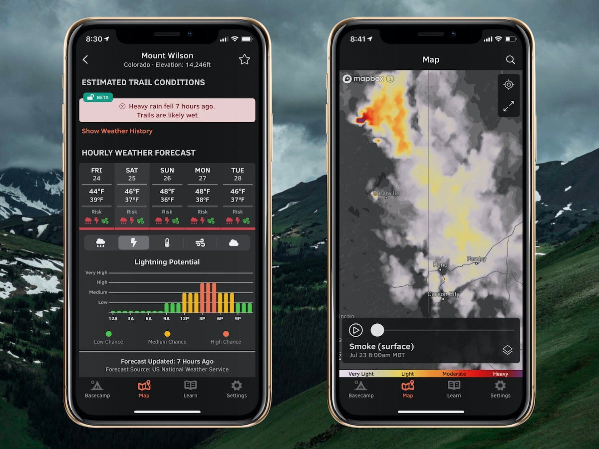
Check out our summer service, OpenSummit
Plan your next adventure with expert-level weather data that’s easy to use.
With OpenSummit, you can quickly...
- See if a trail is dry or wet based on recent weather trends.
- View color-coded risk assessment for rain, lightning, and wind.
- Track smoke from wildfires and forecast this smoke for the next 18 hours.
"If you are a person who likes to hike, bike, or just visit the high country and want to have the most accurate weather forecast at various elevations, OpenSummit is absolutely the best app." – Ed, iOS App Review
Download → OpenSummit App
About Our Forecaster


