New England Daily Snow

By Brian Clark, Meteorologist Posted 9 years ago December 17, 2014
Storm Update
Summary
As expected, most of the region saw rain today from the first round of precipitation associated with the current storm. Also as expected, the secondary low is starting to take shape in the Gulf of Maine. This will mean that more resorts will see some accumulating snowfall from the second round of precip coming tonight. Looking ahead, things quiet down for the rest of this week, but next week is still looking very active.
Details
It's tough to describe to folks that don't ski how depressing it is to see so much rain fall during ski season. Yes, it's only mid-December but it's still very depressing. To make this morning even worse, I had to wake up extra early so that I could go to the dentist to get a filling done. Tough start to the day, but it could be worse.
There is good news though. The secondary low that began forming today was able to keep enough cold air around in the mid levels for the White Mountains and further north to keep precipitation falling as mainly snow today. Both Wildcat and Sugarloaf were posting pictures to their respective Facebook pages through the day today:
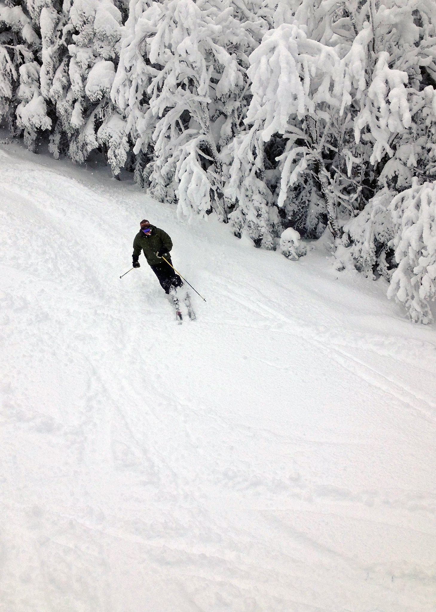
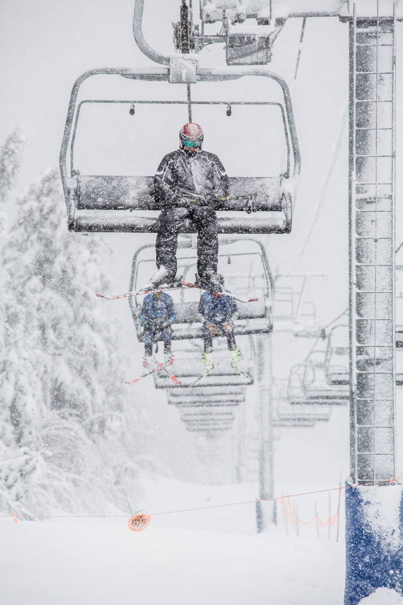
Wildcat was reporting 5 inches up high the mountain this afternoon, and I haven't seen any numbers from Sugarloaf yet. My guess is that they've seen at least that much. So, this storm is already meeting or exceeding expectations in those locations and there's still more snow to come tonight. I expect that the lower elevations of the Whites will see a coating to a couple of inches, while higher elevations in the Whites will see 1-3 additional inches. Western Maine can also expect another 1-3 inches tonight.
Long Range
The rest of this week will be pretty quiet after this storm exits through the day on Thursday all the way through the weekend. Any potential for a storm late in the weekend seems to be gone, as the system that might have brought us some snow is now looking as though it will track way too far south to bring anything our way. Next week still looks to be an active week though as the pattern changes this weekend. The longer range models took an unfortunate turn with a potential major storm for Christmas. What was showing as a potential coastal storm is now cutting way too far inland, meaning rain instead of snow. To make matters worse, there is quite a bit of agreement between the models already. In the spirit of positive thinking though, we're still 7 days out from this storm, so there's lots of time for things to change between now and then.
About Our Forecaster
Brian Clark
Meteorologist
Brian lives in the Mount Washington Valley and works at one of the best ski shops in New England, Stan and Dan Sports in North Conway. He also teaches at Attitash Mountain Resort and runs a growing business that sells and repairs computers and smartphones.
Free OpenSnow App


