Mammoth Daily Snow

Heads up, there may be fresher snow! Read the latest Mammoth Daily Snow

By Mike Korotkin, Meteorologist Posted 1 year ago March 27, 2023

Final March Storm

Summary

One final day of sun on Monday. By Tuesday the winds pick up, the snowfall ramps up, and we get our final March snow storm. We will see snow showers through Thursday as the moist and March sun angle are around. Friday and Saturday could be sunny days, and by Sunday we could enter another colder, and snow showery pattern once more.

Short Term Forecast

Sunny Monday 

Monday will be the last sunny day we get for several days. Enjoy sun, lighter winds and deep snowpack. Temps will be in the low 30's today as we get warmer air filtering in ahead of the storm. Winds over the summit could be gusting up to 35 MPH by later this afternoon. 

Stormy Tuesday & Snow Shower Wednesday 

T minus 1 day from our final March storm. This has been a truly monumental March in terms of consistency of storms and as far as totals we're in top 4 March seasons. There's a chance we could break into the top 3 after this storm. I like the trend I've been seeing for this storm. The track looks to favor us slightly more with more Southwesterly flow rather than just Southerly flow. This will increase the snowfall forecast for us a bit.

Temps on Tuesday will be in the mid 20's. By Wednesday they will be in the low 20's. Tuesday winds will be very strong with 65 - 75 MPH gusts out of the Southwest. This will force many upper mtn. lifts to be closed. Visibility will be poor with the strong winds and heavy snowfall on the mtn. 

Wednesday winds should calm into the 30 - 45 MPH range out of the Southwest. So still plenty windy but there's a chance more lifts will be running. 

The main part of this storm comes through on Tuesday and specifically Tuesday late afternoon into the overnight hours. Wednesday we could still see snow showers especially in the morning. 

Precip & Snowfall Forecast

The models are converging on a 2 inch plus precip scenario. At 10:1 that's 20 inches of snow. I believe 20 inches is a fair bet for Main Lodge by Thursday morning. The snow to water ratios will average 10 - 14:1 at Main Lodge and be upwards of 16:1 on the summit. 

My forecast for Main Lodge is 16 - 22 inches of snow by Thursday morning. Most of that should fall by Wednesday morning with only an inch or 2 expected on Wednesday. The summit has a shot of seeing 2 FT of snow on the high end with at least 18 inches with this storm. 

Thursday More Snow Showers

The models continue to show we could see snow showers on Thursday, the 30th. This is a result of the March sun angle, and the most air that is place over the region. Temps will be a bit warmer than on Wednesday but still on the colder side. Temps in the mid 20's and upper teens. 

Winds should be much calmer with Northwest gusts up to 20 MPH. I'm not expecting much of the snow showers but by Friday morning we could see an additional inch or 2 of snow. We'll see peaks of snow on both Wednesday & Thursday in between the showers. 

Friday Sun!

After several days of colder, snowier, and stormy weather we'll see a break on Friday with the sun returning in earnest. It will be cool in the low 30's and 20's but it will be amazing with the high sun angle and clear skies. Enjoy it! 

Extended Forecast

The warmer and sunny weather could be short lived as we could see snow showers return by Sunday afternoon. Saturday, April 1st still look sunny and warmer with highs in the mid 30's. 

by Sunday more clouds could be rolling ahead of the next system. This isn't a particularly strong system but it has the potential to bring snowfall as early as Sunday afternoon with more coming into the first week of April. 

The models show an unsettled showery pattern starting Sunday, April 2nd and continuing through a good part of the first week of April. I don't see any large storms looming, but we could accumulate snowfall everyday of the week if this trend continues. 

Going beyond into the middle of April we could dry out... but that's also quite a ways out and I'm not putting much if any faith in the models beyond 5 days let alone several weeks out. 

I'll keep you posted on what the details as they come in. 

Till the next one... Mike out. 

About Our Forecaster

Mike Korotkin

Meteorologist

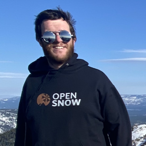
Mike graduated from UC Berkeley with a Bachelor’s in Atmospheric Science and received his Masters in Atmospheric Science at the University of Nevada Reno. He grew up in Southern California by the beach, but quickly realized he loved the mountains, so his first memories were of the SoCal mountains where he saw snow for the first time. He started skiing in his 20’s and is now an avid skier and backpacker at locations up and down the Sierra Nevada Mountains.

Free OpenSnow App