New Zealand Daily Snow

By Mike O'Connor, Meteorologist Posted 22 hours ago July 17, 2025
A Little More Snow Before Long Dry Period Kicks In
Summary
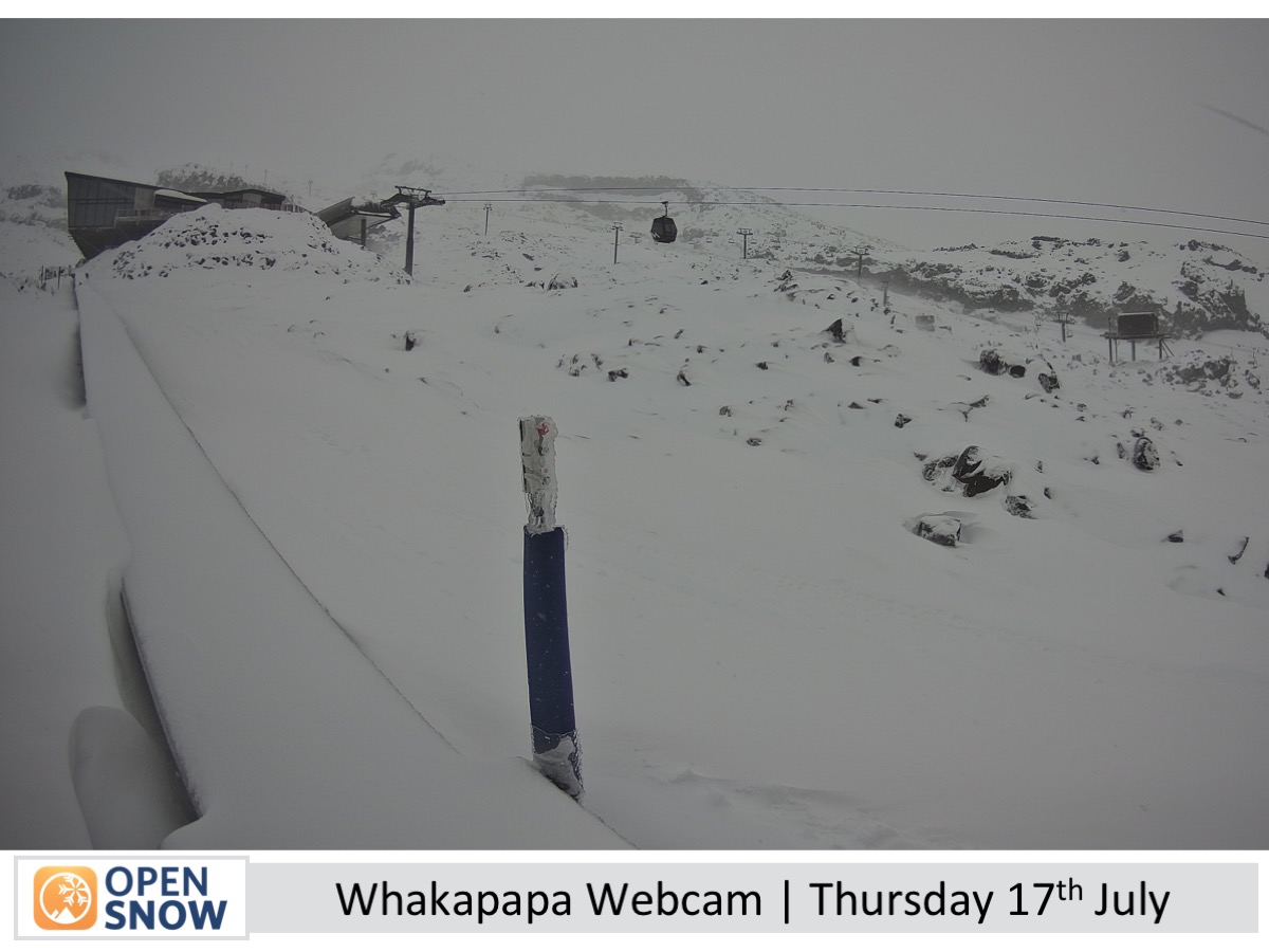
Light snow hit the South Island Tuesday night, with another dusting due Friday night. Mt Ruapehu improved after Thursday’s snow, with fine weather ahead and a chance of snow Monday night.
Short Term Forecast
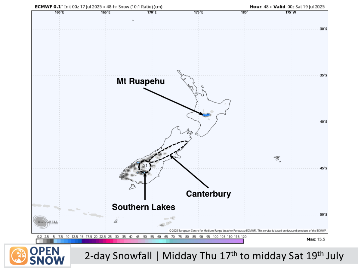
Forecast for Friday 18th & Saturday 19th July
On Friday, northwest winds bring cloud and a light evening dusting of snow to the Southern Lakes, while Canterbury enjoys a sunny day with evening snow showers in the Mackenzie Basin. Saturday will be clear and chilly in the Southern Lakes, with a weak cold front giving Mt Hutt and nearby ski fields a light snow dusting before clearing to fine, calm conditions in Canterbury.
Forecast for Sunday 20th to Tuesday 22nd July
The South Island is set for clear, crisp weather on Sunday and Monday, with westerlies in the Southern Lakes and lighter southerlies in Canterbury. Tuesday looks fine across the country, though strong south to southwest winds may affect exposed areas.
Extended Forecast
Next week will be dominated by a large high-pressure system, bringing mostly fine and dry weather with some strong south-southwest winds until at least Friday, 25th July. Storms with rain and snow are likely to return around the weekend of 26th–27th July or early the following week.
Thanks for reading. The next forecast will be out on Monday.
Mike
About Our Forecaster


