New Zealand Daily Snow

By Mike O'Connor, Meteorologist Posted 1 day ago July 29, 2025
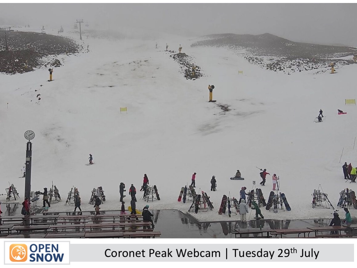
Powder for Canterbury in Cold Southerly Winds
Summary
Tuesday’s wild weather closed many ski fields. The storm clears by Wednesday at Ruapehu. Cold southerlies will lower snow levels, bringing a decent dump to Canterbury and lighter falls to the Southern Lakes and Ruapehu. Skies clear this weekend as high pressure moves in.
Short Term Forecast
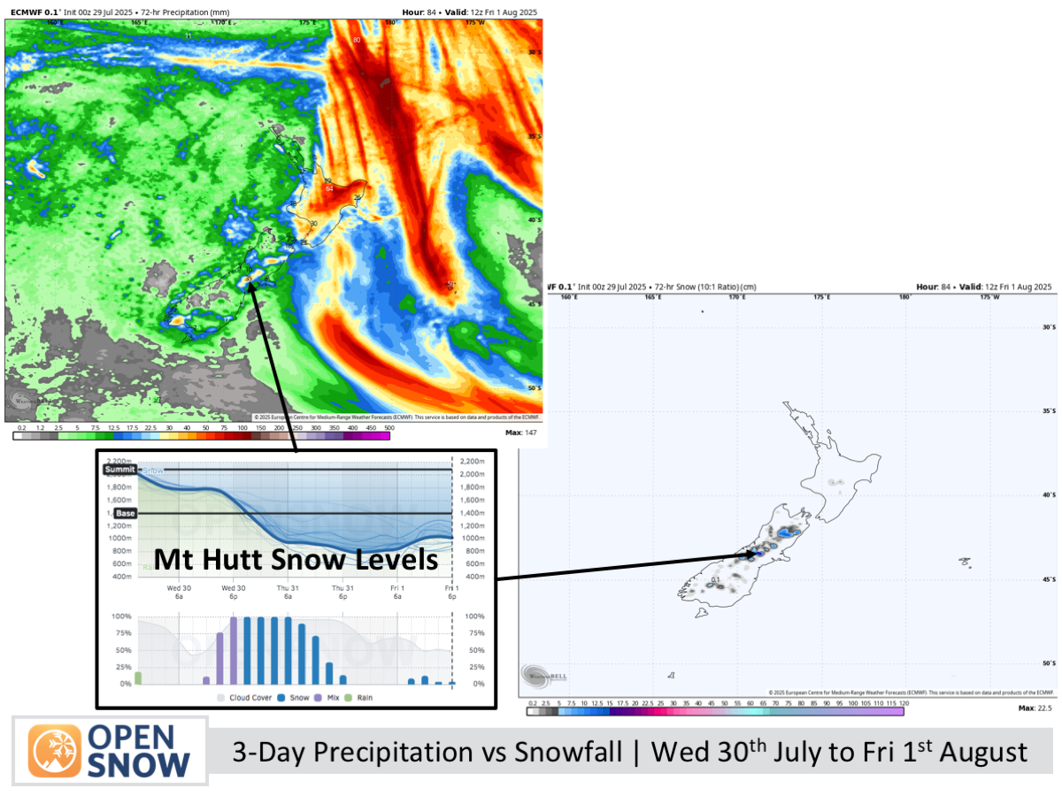
Forecast for Wednesday 30th July to Friday 1st August
Wednesday starts partly cloudy before a southerly brings rain and high-level snow, especially heavy in Canterbury. Snow levels drop through the day, reaching base levels by night, with a dusting for the Southern Lakes and a solid dump in Canterbury. On Thursday, flurries clear the Southern Lakes early while Canterbury’s low-level snow gradually eases. Friday sees skies clearing across the Southern Lakes and Mackenzie Basin with cold southerlies fading.
Forecast for Saturday 2nd and Sunday 3rd August
aturday is mostly fine with some afternoon cloud in the Southern Lakes and a light snow dusting for Canterbury at night, followed by a clear, bluebird day on Sunday as winds shift to a warmer northeasterly.
Extended Forecast
Clear, dry skies continue into early next week, but strong winds develop as a high drifts east, with a storm bringing rain and snow midweek.
Thanks for reading. The next forecast will be out on Friday.
Mike
About Our Forecaster


