US & Canada Daily Snow

By Alan Smith, Meteorologist Posted 4 years ago April 2, 2021
Spring skiing this weekend for most regions
Summary
The first weekend of April will be quiet across much of North America with spring conditions taking hold across the Western U.S. in particular. North of the border, the pattern will be a bit more active in British Columbia with periods of snow from Friday through Sunday. Cooler and more unsettled weather will return south of the border to the Northwest and Northern Rockies next week.
Short Term Forecast
Sunny skies and spring conditions
Most of North America will be in full spring mode during the first weekend of April with a generally quiet weather pattern expected. The only exception will be British Columbia where snow (and low/mid mountain rain) will fall.
There will be plenty of chances to soak up some Vitamin D across the Western U.S. over the next few days. Check out the blue sky view from Mammoth Mountain, California on Friday.

Forecast for Fri, Apr 2 – Sat, Apr 3
A storm will impact Northwest British Columbia on Friday with heavy snow expected. Snow will then begin to pick up across Southwest BC on Saturday and eventually the interior of BC over to the Alberta border on Saturday night. Conditions will be quiet for the remainder of North America's ski regions.

Forecast for Sun, Apr 4 – Mon, Apr 5
Snow will fall across Southern BC and Alberta on Sunday with relatively high snow levels, then snow will spread south of the border on Monday. Models are in poor agreement on whether or not the storm will first slide down the West Coast into Oregon and California on Monday, or if it will miss these areas and only impact the Northern U.S. Rockies.

Forecast for Tue, Apr 6 – Wed, Apr 7
An unsettled pattern will remain in place across the Northwest U.S. and into the Northern/Central Rockies. Most areas will likely only see light amounts, but a few surprises are possible. Farther north, a storm will begin to impact Alaska and Coastal British Columbia on Wednesday.

Extended Forecast
Outlook for Thu, Apr 8 – Mon, Apr 12
The storm track will favor the Pacific Northwest during this period with the Cascades, Coast Range, and Northern Rockies expected to pick up more snow. The Sierras in California could get in on the action as well depending on how far south the storms drop.

Thanks so much for reading! Check back for my next post on Wednesday, April 7th.
ALAN SMITH
Announcements
Check out our summer service, OpenSummit
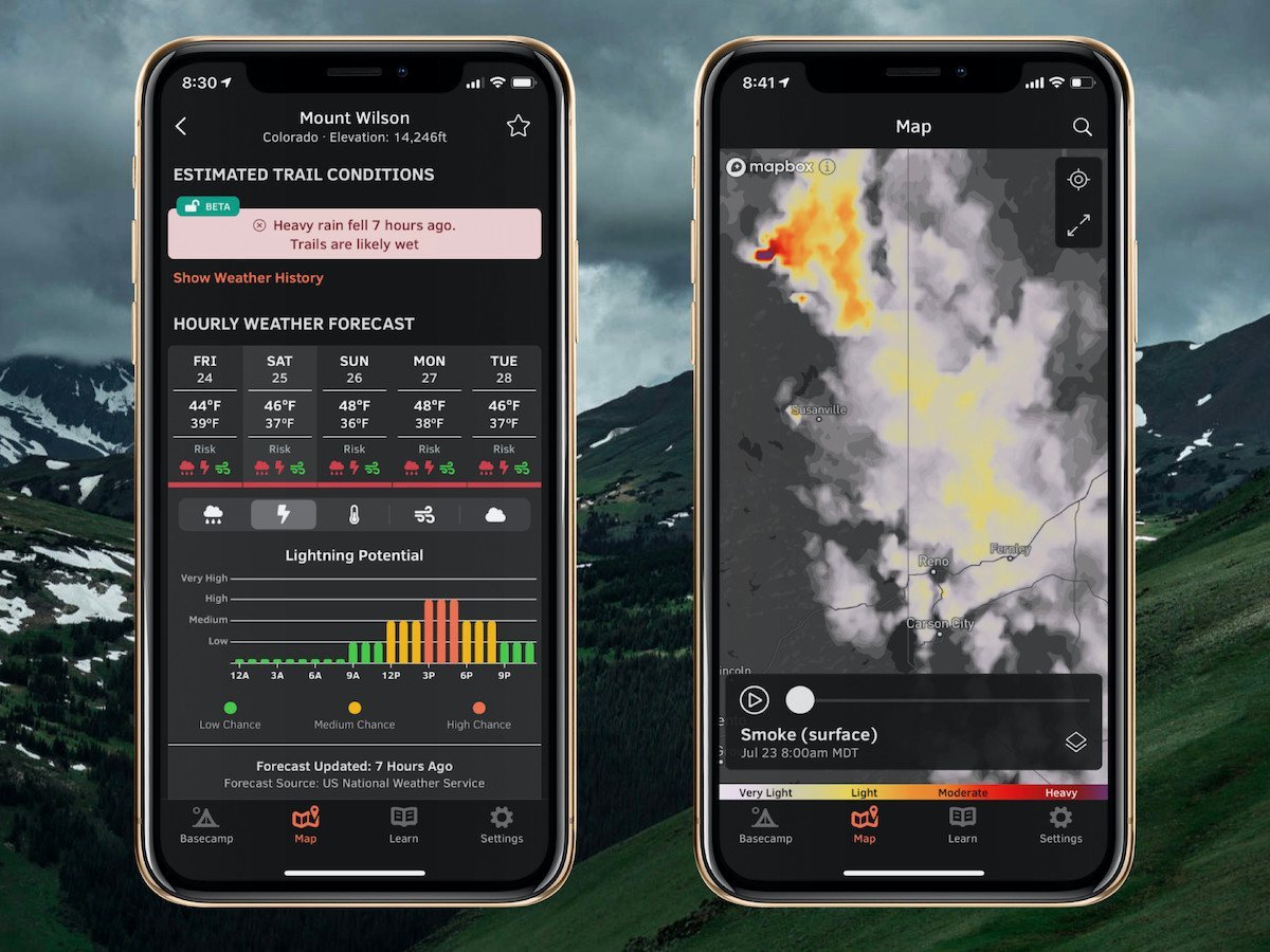
Plan your next adventure with expert-level weather data that’s easy to use.

With OpenSummit, you can quickly...
- See if a trail is dry or wet based on recent weather trends.
- View color-coded risk assessment for rain, lightning, and wind.
- Track smoke from wildfires and forecast this smoke for the next 18 hours.
"If you are a person who likes to hike, bike, or just visit the high country and want to have the most accurate weather forecast at various elevations, OpenSummit is absolutely the best app." – Ed, iOS App Review
Download → OpenSummit App
About Our Forecaster


