Australia Daily Snow

By Mike O'Connor, Meteorologist Posted 1 year ago July 21, 2024
Celebrations Cut Short with Mild, Wet & Windy Weather
Summary
Friday and Saturday's snowstorm dumped up to 55cm of powder onto the Australian Alps, significantly improving conditions. Unfortunately, it turned wet and mild on Sunday, raining on our parade, but that'll eventually clear on Monday. Northwest winds will strengthen again before another front on Thursday brings more rain, with little snowfall expected other than that at high altitudes.
Short Term Forecast
Monday to Wednesday (22nd to 24th July)
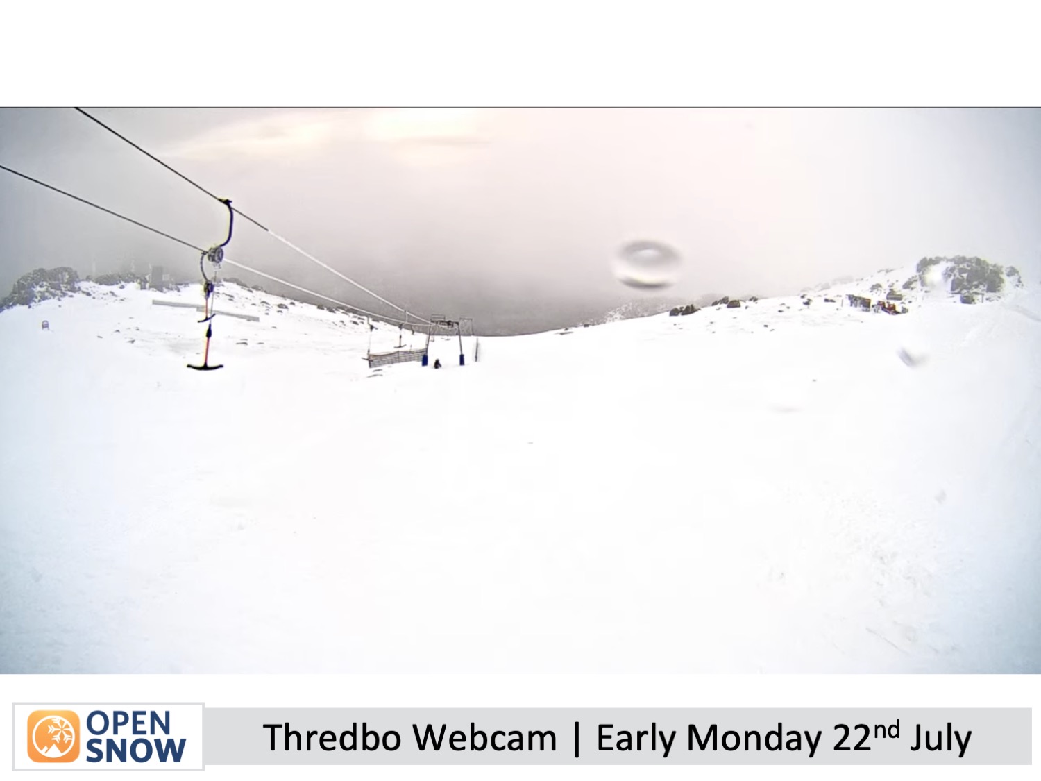
Monday starts out the same as Sunday - wet, damp and mild - turning all that wonderful powder into a slushy, slurry mix. Northwest winds are also quite strong and gusty. However, the drizzly, foggy conditions should clear New South Wales in the morning and eventually brighten up with a little sunshine. Conditions are a bit worse in Victoria, where we start out with rain and drizzle, but that'll also ease and clear from afternoon.
Northwest winds will continue to blow on Tuesday and become even stronger on Wednesday, reaching around 70-90km/h in exposed areas. Skies will be partly cloudy, especially for Victorian resorts, where there could also be a little drizzle on Tuesday.
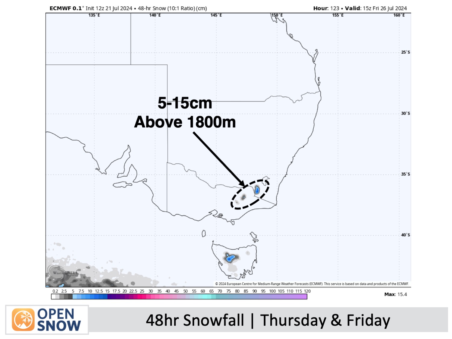
Thursday & Friday (25th & 26th July)
Rain and high-altitude snow will build over the Australian Alps on Thursday, becoming heavy late in the day, while northwest winds reach up to 100-120km/h. It'll be a real grotter, and lift operations will likely be hampered.
A cold change sweeps through Thursday night, but it will only bring a light skiff of snow during the early hours of Friday. However, this should give the snowmaking crews a brief window to repair some damage.
Light snow showers may turn up again on some Victorian resorts during the day on Friday, where it will be otherwise quite cloudy. It be a mostly fine day for New South Wales.
Extended Forecast
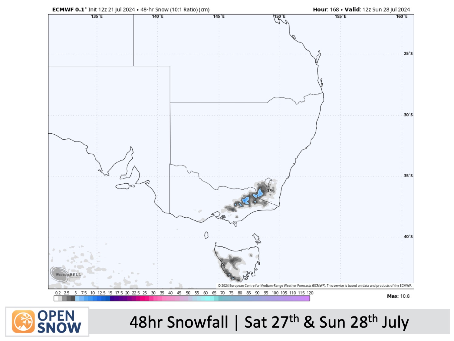
Australian resorts could score another small snow boost this weekend, the 27th and 28th of July, thanks to another passing cold front. Some of this may initially fall as rain about the lower slopes before the actual cold change happens.
Thanks for reading. I'll continue to provide these forecasts every Monday, Wednesday, and Friday throughout the southern hemisphere season.
Mike O'Connor
About Our Forecaster


