Boise Region Daily Snow
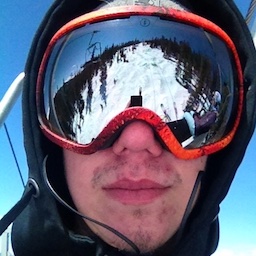
By Matthew Platt, Forecaster Posted 2 years ago April 3, 2023
Wrapping it up (Maybe)!
Summary
Bogus, Tamarack, and Brundage had a solid powder day on Saturday. It underperformed by a little more than I had expected but still nice to add snow this time of year. We will experience warming trends later this week and definitely some rain this weekend. Let's get into one of the final updates on this season!
Short Term Forecast

To read the rest of this Daily Snow, unlimited others, and enjoy 15+ other features, upgrade to an OpenSnow subscription.
Create Free Account No credit card required
Already have an account?
Log In
Upgrade to an OpenSnow subscription and receive exclusive benefits:
- View 10-Day Forecasts
- Read Local Analysis
- View 3D Maps
- Get Forecast Anywhere
- Receive Snow Alerts
- My Location Forecast
- Add iOS Widgets
- Climate Change Commitment
- Upgrade to an OpenSnow Subscription
About Our Forecaster


