Mammoth Daily Snow

Heads up, there may be fresher snow! Read the latest Mammoth Daily Snow

By Mike Korotkin, Meteorologist Posted 1 year ago March 17, 2023

It's Brewing

Summary

A couple sunny days before the snow returns by this Sunday. We will see light snow with the first weaker system as a prelude to the next much bigger storm that comes in Monday and lasts till Wednesday morning. We're going to be measuring in FT again for this storm. Another weak storm is possible by next Friday and possibly another by the weekend.

Short Term Forecast

Friday & Saturday 

Sunny beautiful weather is in store for us. Temps will be around the freezing mark today, Friday and approach the mid 30's by tomorrow, Saturday. 

Winds will stay generally light during both days with an increase by Saturday afternoon. We'll see stronger winds by Saturday afternoon as the next system begins to blow in. Enjoy the sun and lack of snow as that won't last for long. 

Sunday Snow Showers

A weak system is still poised for this Sunday into Sunday afternoon. Temps will drop into the 20's and the winds will be quite gusty up to 50 MPH during the day out of the Southwest. 

The total precip amounts are not very high with this system as they are in the 0.15 to 0.30 inch range. At 10:1 that's enough for a couple inches up to 4 up on the summit. 

Sunday we'll see the snow showers and by Monday late morning the next big storm will be coming through. Monday morning accumulations should be 1 - 4 inches across the mtn. 

Monday - Wednesday Morning Bigger Storm 

As I mentioned yesterday another bigger storm is on the way for us. The heavier snow is likely to start by later in the morning on Monday and get even heavier by Tuesday before tapering off to snow showers Wednesday morning. 

This storm does not have nearly the amount of moisture associated with is as the last several AR's. But what it does have is the colder air we've seen during most of the season. Snow levels will remain well under 8K FT during the duration of the storm. 

Winds will likely be gusty during the Monday timeframe with gusts up to 60 MPH out of the Southwest. Tuesday could feature similar winds and by Wednesday we could see a decrease into the 20 - 30 MPH range out of the West Northwest. 

This storm actually favors the central & southern Sierra once again, so the core of the heaviest precip is likely to be on the western slope of the Sierra a bit further to the South in Sequoia & Kings Canyon National Parks. Mammoth will be on the edge of the heaviest precip for this storm, so we should do fairly well and likely better than Tahoe to our North. 

Precip & Snowfall Amounts 

This morning the Euro and GFS are in very good agreement that we'll see a bit over 1.5 inches of liquid from this system. The average is closer to 2 inches of liquid. 2 inches is not a lot considering we've seen many storms in the 3 - 6 inch range this winter but with the colder air that we are getting with this system we'll see snow ratios at least 10:1 and likely closer to 12:1 at 9K FT. With temps in the 20's across the mtn. and teens at night we should see much lighter snow. 

My snowfall forecast for the Monday - Wednesday time period is 22 - 29 inches at Main Lodge and upwards of 34 inches for the summit. Because we are dealing with another Atmospheric River the track of this can shift in the next couple days and we could see these amounts go up or go down and I'll keep you posted on what I see. 

Extended Forecast

We could see a short break next Wednesday afternoon. Mother nature wants to keep the active pattern going with another weak storm starting as early as Thursday afternoon into Friday. This would be a much weaker system but we could see another shot of cold air with it to keep the snow lighter and powderier. 

Beyond that into the weekend of the 25th and 26th there's a chance we could see another weak system that drops another couple inches. It's not looking as likely this morning that we see another major storm next week.. but naturally that could change. 

And if you're wondering how things look the following week we definitely could see more active weather the final week of March as well... I'll keep you posted on this incredible season. 

Till the next one... Mike out. 

About Our Forecaster

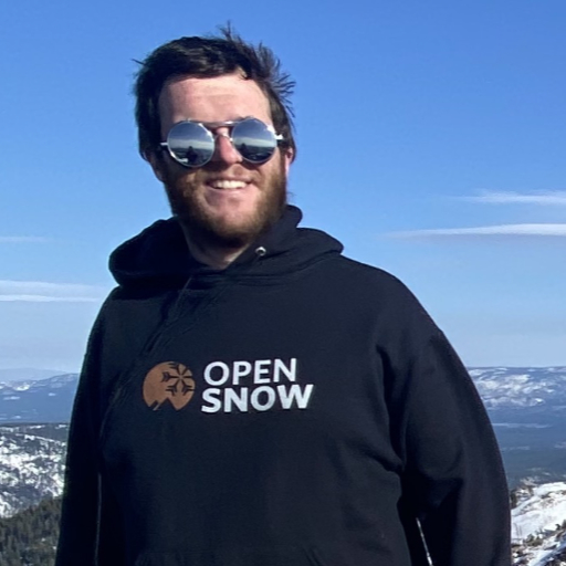
Mike Korotkin

Meteorologist

Mike graduated from UC Berkeley with a Bachelor’s in Atmospheric Science and received his Masters in Atmospheric Science at the University of Nevada Reno. He grew up in Southern California by the beach, but quickly realized he loved the mountains, so his first memories were of the SoCal mountains where he saw snow for the first time. He started skiing in his 20’s and is now an avid skier and backpacker at locations up and down the Sierra Nevada Mountains.

Free OpenSnow App