Winter Park Daily Snow

By Joel Gratz, Founding Meteorologist Posted 2 years ago November 2, 2022
Snow Thursday into Friday
Summary
Wednesday will be dry, then we'll see snow to end the week and it might continue into Saturday, too.
Update
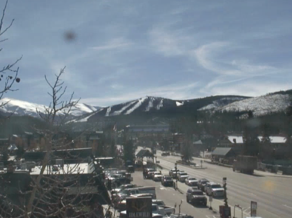
Tuesday was a gorgeous day on the hill, though of course there is still VERY limited terrain with just three open trails on the lower part of the mountain.
Wednesday will be dry and warm with on-mountain highs in the 40s.
The next storm will then bring snow from Thursday through Friday.
During the first part of the storm on Thursday, snow showers will be randomly placed and we might or might not see periods of intense snow.
During the second part of the storm on Thursday afternoon, Thursday night, and Friday morning, we'll have a much higher chance for intense and/or steady snowfall as the storm energy moves directly overhead and the wind direction becomes more favorable from the west and northwest.
With the storm taking a slightly more favorable track than previous forecasts, I'll increase my expectations to 5-10 inches of snow by Friday midday, and there could even be a little powder and soft conditions to enjoy on Friday morning and midday.
Following the storm on Thursday and Friday, we'll see a brief break in the snow later on Friday, then another round of snow showers should bring light accumulations on Friday night and Saturday.
Thanks for reading!
JOEL GRATZ
Meteorologist at OpenSnow.com
Snow conditions as of Wednesday morning
New snow mid-mountain:
* 0” (24 hours Tuesday 500am to Wednesday 500am)
* 0” (Overnight Tuesday 400pm to Wednesday 500am)
Last snowfall:
* 3” Thursday (Oct 27)
Terrain
* 4 of 23 lifts
* 3 of 166 trails
* Latest update
Snowpack compared to the 30-year average:
* 79%
About Our Forecaster


