Winter Park Daily Snow

By Joel Gratz, Founding Meteorologist Posted 2 years ago November 1, 2022
Waiting for the next storm
Summary
Opening day was on Halloween, and now we'll hope for a decent amount of snow later this week.
Update
Opening day on Halloween was a success and looked about how we would expect skiing to look on Halloween:-)
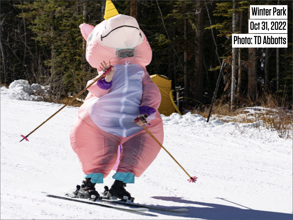
Open terrain is limited with four lower lifts and three trails.
Looking at the forecast for this week, Tuesday and Wednesday will be dry and comfortable with highs in the 40s and winds will be stronger during Wednesday afternoon as our next storm approaches.
Then on Thursday, we will see more clouds with a high chance for snow during Thursday midday or afternoon and through Thursday night. Total snowfall could be in the 3-8 inch range and I am keeping my expectations low for this storm because the wind direction will not be favorable and it's impossible to know if any of the narrow bands of intense snow that will cross Colorado will hit Winter Park or just miss the mountain. If any of these narrow bands of intense snow hit the mountains, and/or the more favorable wind direction from the northwest on Friday morning creates a few hours of decent snowfall, then maybe we'll hit the higher end of the forecast range.
Following the snow on Thursday into Friday, there is a chance for light-to-moderate rounds of snowfall during the weekend (Nov 5-6) and early next week (Nov 7-8) as storms deal a glancing blow to northern Colorado. If we're lucky, this snowfall could bring us a few more inches of accumulation and maybe help the mountain to open a little more terrain.
Thanks for reading!
JOEL GRATZ
Meteorologist at OpenSnow.com
Snow conditions as of Tuesday morning
New snow mid-mountain:
* 0” (24 hours Monday 500am to Tuesday 500am)
* 0” (Overnight Monday 400pm to Tuesday 500am)
Last snowfall:
* 3” Thursday (Oct 27)
Terrain
* 4 of 23 lifts
* 3 of 166 trails
* Latest update
Snowpack compared to the 30-year average:
* 92%
About Our Forecaster


