News

By Alan Smith, Meteorologist Posted 2 years ago June 9, 2023
El Niño Onset & The Western U.S. Summer Outlook
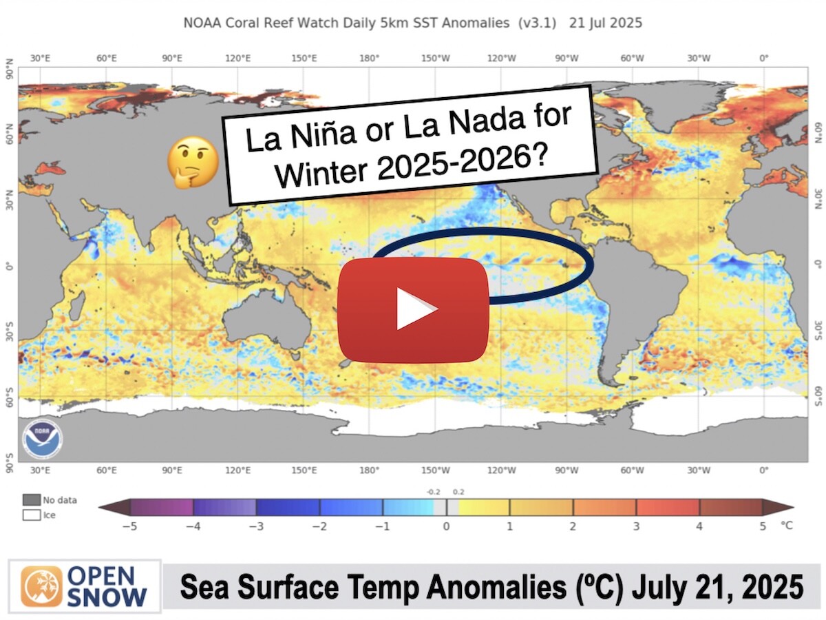
Following three straight La Nina years, sea surface temperatures in the Eastern Equatorial Pacific Ocean have quickly reversed course this spring. As of June 8, 2023, we have officially entered an El Nino phase for the first time since 2019.
Sea surface temperatures in the Eastern Equatorial Pacific off the coast of South America are now well above average, with the tongue of above-average warmth extending westward further out into the Pacific. This is a classic El Nino signature.

The onset of El Nino conditions is occurring just as we are heading into the summer months in the Northern Hemisphere.
Summer seasonal weather patterns are notoriously difficult to predict in advance, even more so than winter. But surprisingly, there actually are some seasonal weather signals that arise across the Western U.S. when we examine past summers featuring the onset and/or strengthening of El Nino conditions.
First, we have identified six analog years since 1991 in which El Nino conditions were emerging and/or strengthening during the Northern Hemisphere summer. We then examine each of these summer seasons (June-September) based on 30-year climatological averages from 1991-2020. These analog years include 1991, 1997, 2002, 2004, 2009, and 2015.
Given the rate of warming that is occurring in the global climate over the long term, it makes more sense to examine more recent years based on 1991-2020 averages rather than diving too deep into the past. New 30-year averages are determined at the start of each decade.
Prevailing Large Scale Patterns
El Nino summers tend to feature a tall ridge of high pressure extending into Northern Canada, with a trough of low pressure undercutting this ridge across the Southwest U.S. This is very similar to the weather pattern we have seen across North America in May and the first part of June in 2023.
The map below indicates departure from normal "heights" in the upper atmosphere at approximately 18,000 feet above sea level. Positive (+) anomalies indicate higher heights and stronger "ridging" than normal, and negative (-) anomalies indicate lower heights and more "troughing" than normal.

Another key characteristic of El Nino summers is a stronger subtropical jet stream that is displaced further north than usual. This can be seen by examining wind speed anomalies at 200 millibars (~39,000 feet) which is the approximate location of jet stream-level winds during the summer months.

El Nino Summers – Precipitation
Summers tend to be wetter than average across a large portion of the Western U.S. when El Nino conditions are present. This likely has to do with frequent low pressure troughs located across the Southwest along with a strong subtropical jet stream, which can help to transport moisture well northward into the West Central U.S.
Based on the evidence we can see from similar years, it would be reasonable to suggest that lightning activity, rainfall, and flash flooding potential will be higher than normal across much of the West this summer compared to an "average" summer.

What About the Monsoon?
One area you'll notice that sticks out in the above image is the drier-than-average signal across Arizona. Does this indicate a weaker or unusual placement of the North American Monsoon pattern?
Prior research has found little to no evidence of any factors that can be used to reasonably predict the strength and persistence of the North American Monsoon on a seasonal basis, even when factoring in El Nino or La Nina conditions. This is one of the bigger mysteries in seasonal forecasting, at least in North America.
However, looking at the drier-than-average signal across Arizona during El Nino signals, it's reasonable to suggest that stronger and more persistent southwest winds aloft in response to "troughing" across the Southwest may transport deep monsoonal moisture northward into the Great Basin and Northern Rockies on a more frequent basis, rather than the monsoonal flow staying bottled up around the Four Corners and Arizona.
If we take a look at only July and August, which is the peak of monsoon season, this trend is even more pronounced. We can see a stronger dry signal over Arizona with no obvious signals across the remainder of the Four Corners region, while there is a wetter signal across the Northern Rockies.

El Nino Summers - Temperatures
The four-month period from June to September tends to be cooler than average across the Four Corners states, likely in response to the frequent appearance of low pressure troughs across the Southwest. Temperatures tend to be warmer than average across the Pacific Northwest during El Nino summers.

The signal becomes more pronounced, however, if we look at the two hottest months of the season – July and August. Cooler-than-average signals are apparent across most of the West during mid-summer, including the Rockies, Great Basin, and Central/Southern California.
Mid-summer conditions tend to be a bit hotter than average across the Pacific Northwest when El Nino conditions are present.

The evidence suggests that heat waves may be less frequent and less intense across the West this summer compared to recent summers. Good news if you are not a fan of hot weather. The potential for heat waves is comparatively higher across the PNW, though, based on these analogs.
Hotter and Drier Septembers?
Although the signal is weaker, there are some hints that September is trending hotter and drier relative to average during El Nino phases, despite June to August being relatively mild and wet across much of the West.
The two most recent El Nino summers (2015 and 2009) featured this trend as did 1997, which was the start of a strong El Nino.
The hotter/drier September signal is more pronounced across the Central/Northern Rockies, Front Ranges, Great Basin, and California, and less so across the Pacific Northwest.
There are also weak signals of wetter conditions and near-average temperatures across the Four Corners region in September, which may indicate a later finish to monsoon season during El Nino episodes.
What About Western Canada?
Unfortunately, past monthly, annual, and seasonal climate data on a large scale is limited for Canada compared to the U.S. However, based on the limited data that is readily available, El Nino summers tend to favor above-average temperatures and below-average precipitation across BC and Alberta. Not the best news given the rough start to fire season.
Limitations of Seasonal Forecasting
While these past signals certainly offer some insights as to what we might expect this summer, keep in mind that seasonal outlooks should always be taken with a grain of salt. There are many factors in the atmosphere that cannot be anticipated months in advance and every year is unique in its own way.
We will continue to monitor the emerging El Nino as the summer progresses, and stay tuned later this summer as we start to dive into winter outlooks for 2023-2024.
Also, be sure to use our Forecast Anywhere feature to view custom point forecasts for any location and elevation in the world as you plan your summer outdoor adventures.
About The Author


