News

By Joel Gratz, Founding Meteorologist Posted 10 years ago September 15, 2014
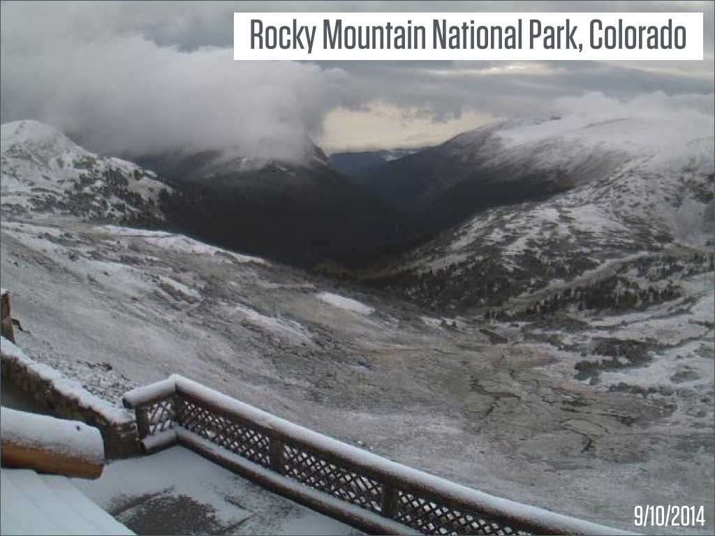
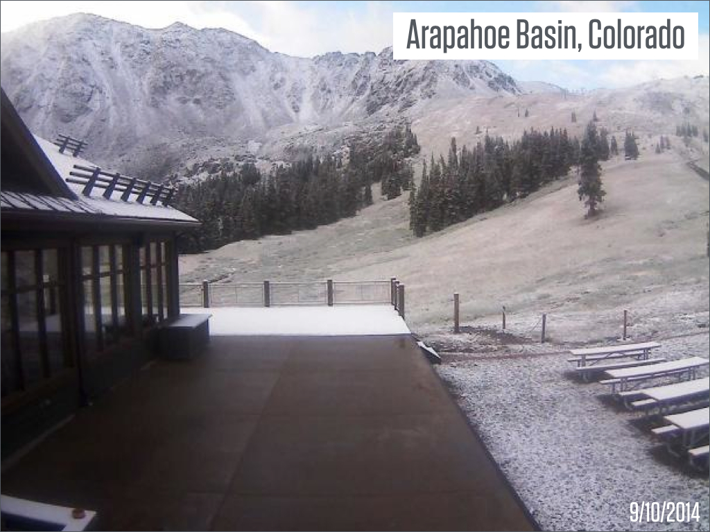
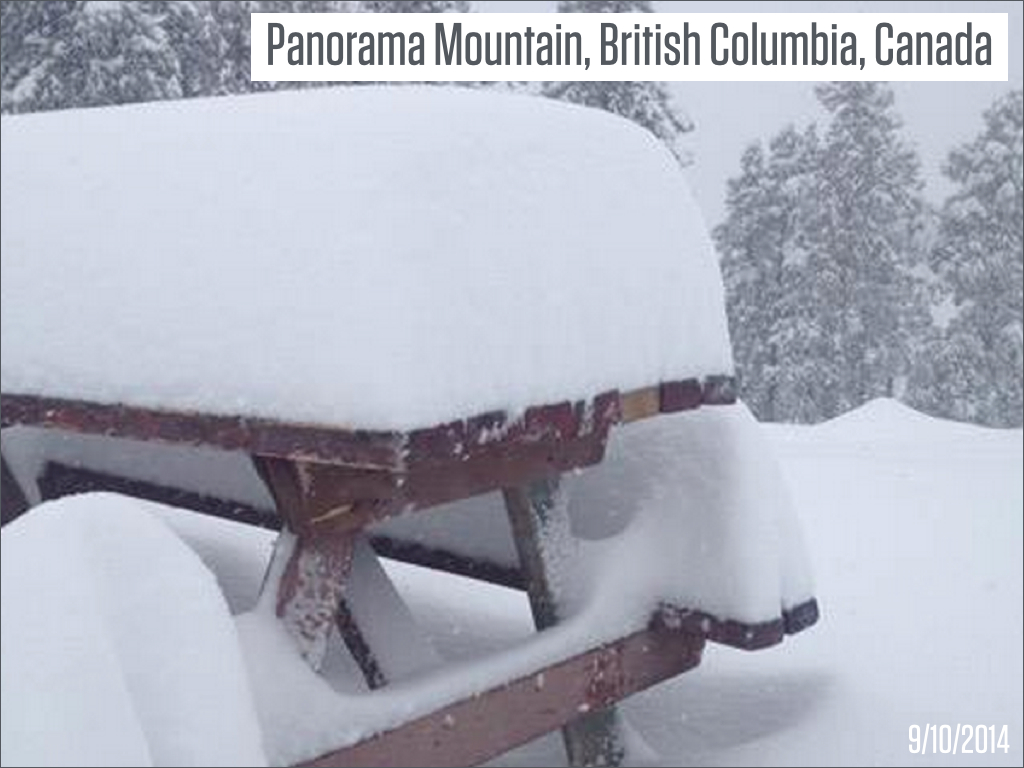
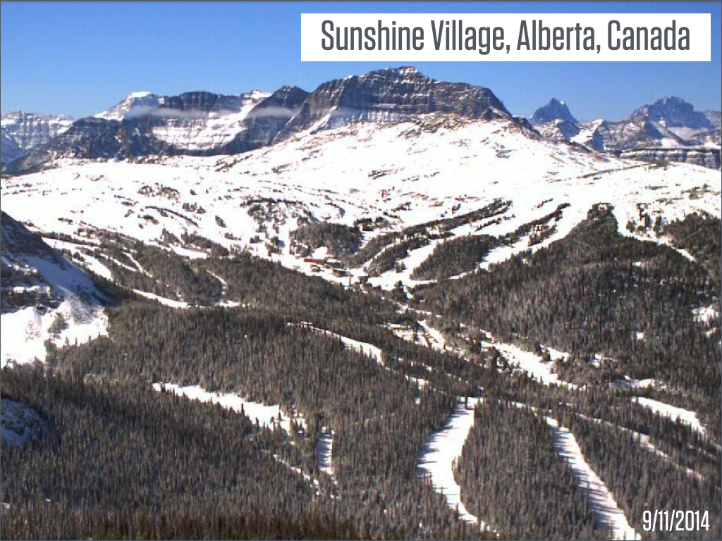
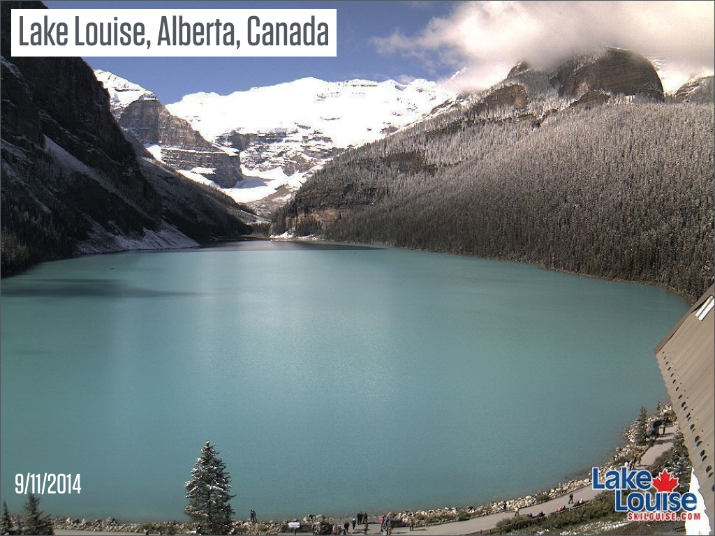
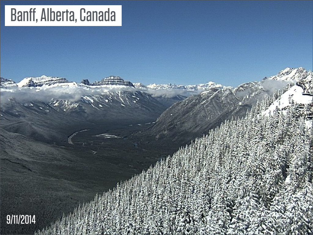
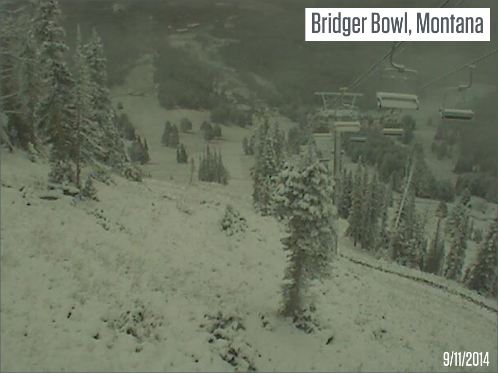
Pictures of last week's snow
Even though it's common for the Rocky Mountains to see snow in September, we should still allow ourselves to get excited when frozen precipitation returns to the mountains we love so much. Here a few of the best snow images from last week's storms.
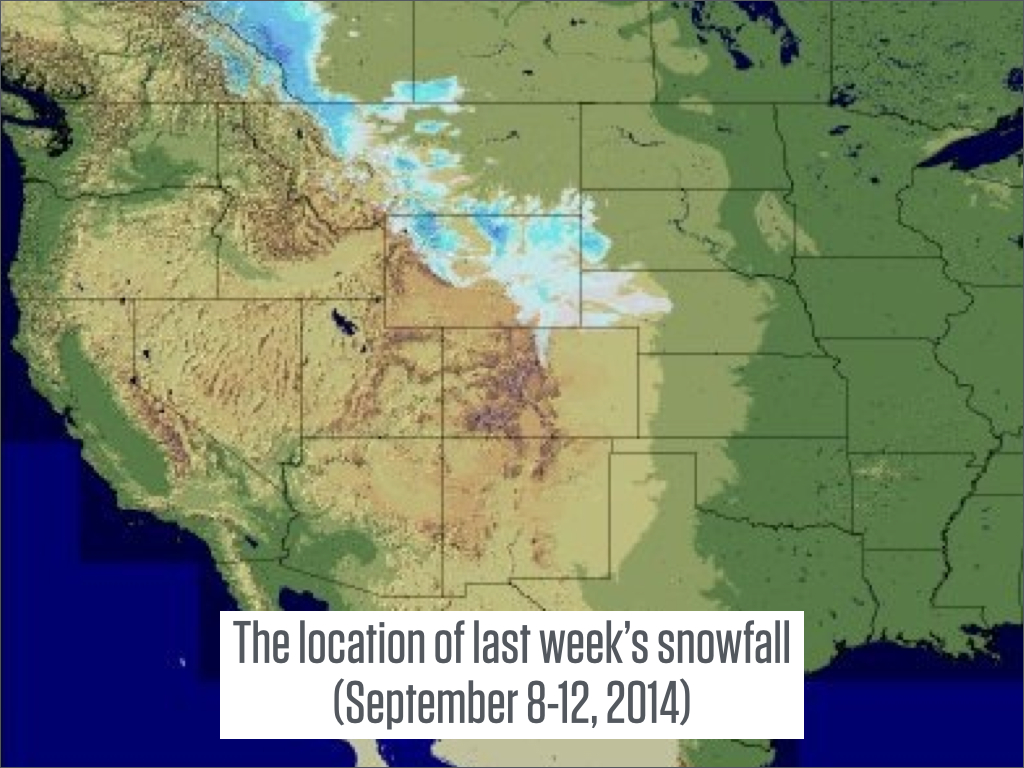
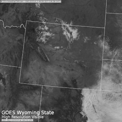
This satellite image from Friday September 12th shows melting snow in Wyoming. In the absense of clouds over Wyoming, the satellite can 'see' snow on the ground. Watch how the extent of the snow decreases through the day as the sun warms the earth and melts the snow. The white colors in the bottom-right of the image are low clouds over eastern Colorado, not snow. Source: Weathertap.com
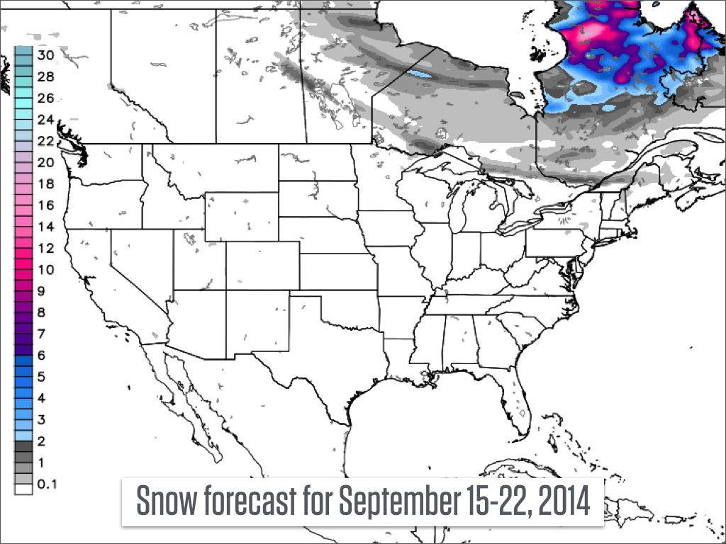
Looking ahead to this upcoming week, will we see additional snowfall over the US and Canada? Not so much. The forecast below shows that the only snow will be confined to the northern parts of Ontario, Quebec, and Newfoundland provinces. And perhaps add the highest peaks in New England to the list.
JOEL GRATZ
About The Author


