Australia Daily Snow

By Mike O'Connor, Meteorologist Posted 1 year ago July 26, 2024
Cold Front on Saturday Just What the Doctor Ordered
Summary
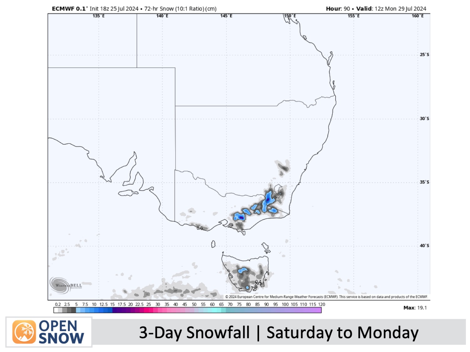
A cold front is expected to top up Australian slopes with 5 to 15cm of snow late Saturday through Saturday night. After Thursday's rain, this will provide a nice reset and will set us up well for a great week of skiing. Cold winds from the south will persist for several more days, bringing additional snow showers on Sunday and Monday, and will allow resorts to make a tonne of snow.
Short Term Forecast
Friday & Saturday (26th & 27th July)
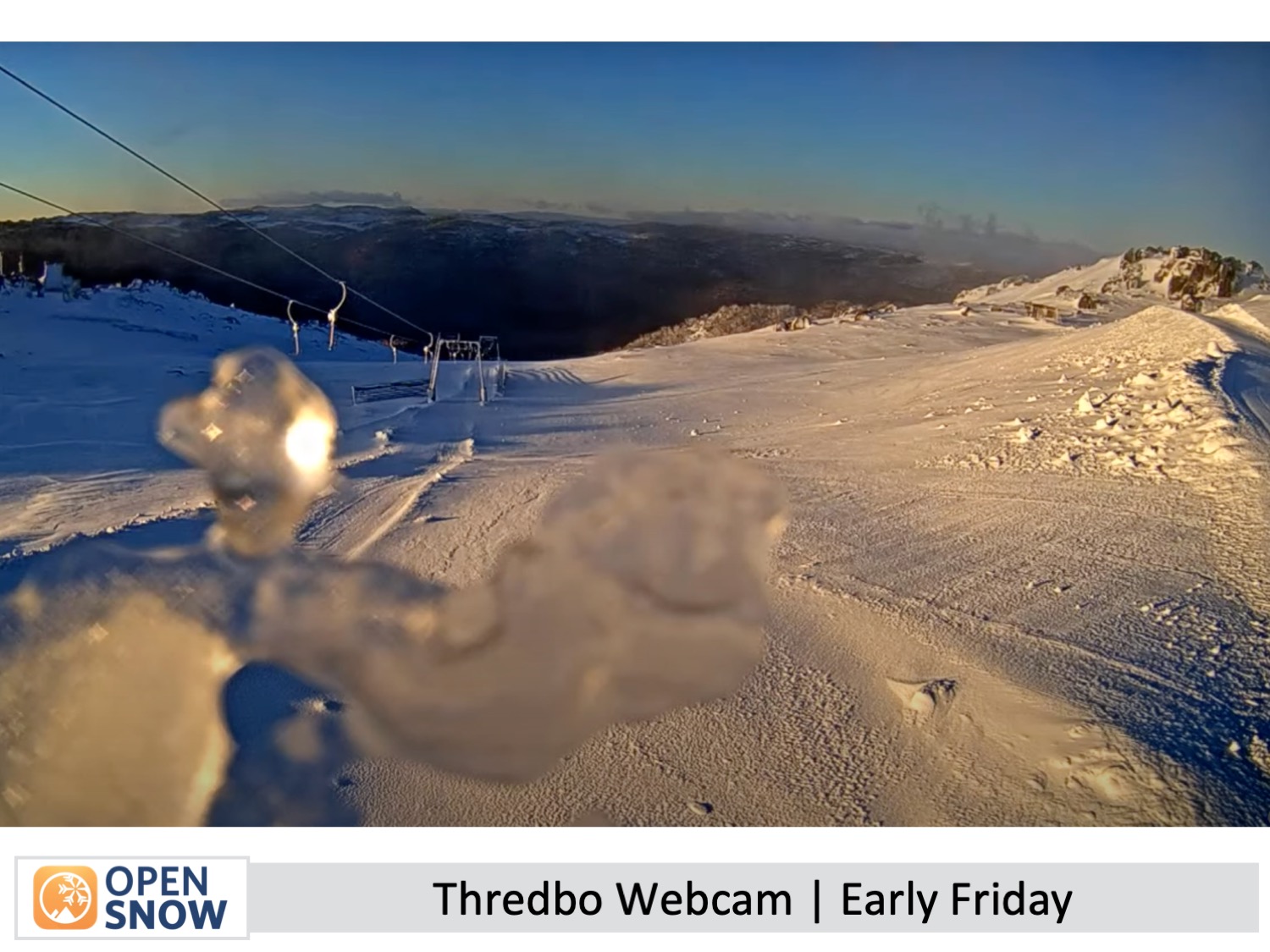
The rain came down on Thursday, but fortunately, forecasts came true, and it fell as snow up high. There was also a dusting of snow to low levels in Victoria overnight Thursday, and the cold temperatures have set the snowpack up well for a brilliant and clear Friday with northwest winds.
On Saturday, a cold front from the west will pass over the Australian Alps during the second half of the day, bringing a top-up of about 5 to 15cm of good-quality snow to low altitudes and changing gusty northwest winds to a much colder southwest. There'll likely be some drizzle in Victoria before snow starts falling in the afternoon. However, New South Wales will have a mostly sunny day before the snow turns up in the evening and will fall into the night.
Sunday to Tuesday (28th to 30th July)
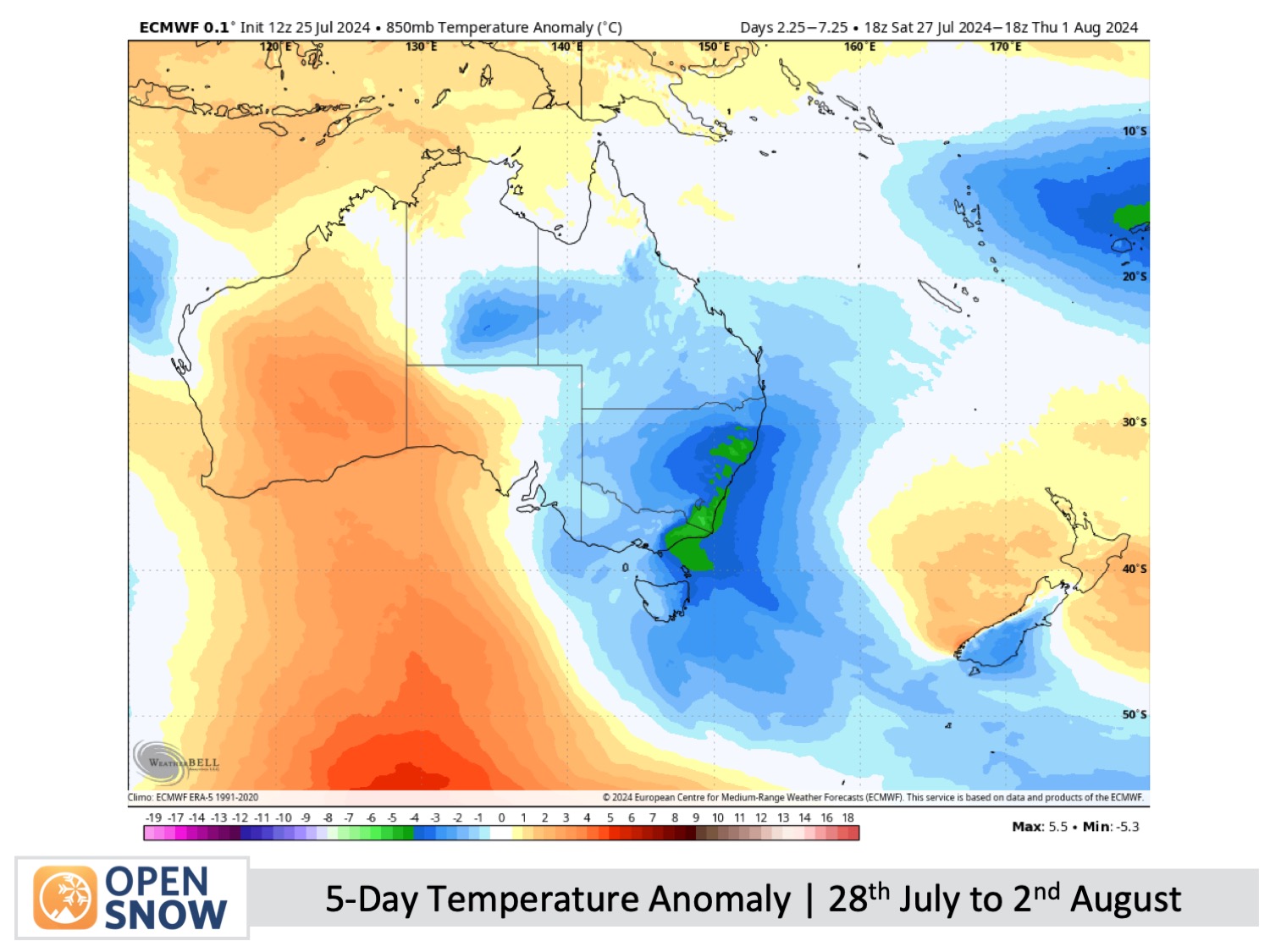
Strong, cold southwest winds over the Australian Alps on Sunday will gradually ease as they turn south and then southeast on Monday and Tuesday.
This will bring more snow showers to the resorts on Sunday, but they'll be more persistent on Mt Baw Baw where they'll last through Monday too. Skies will likely be clear and sunny on Tuesday, but there is a chance low-level cloud will reach some resorts.
Resorts will get a good chance to make a tonne of snow during this time, and after Saturday's top-up of snow, the slopes will be in great condition.
Extended Forecast
The weather will remain dry and settled for a few more days, with more potential to make snow. Our next chance for snow won't be until next weekend, the 3rd and 4th of August, or shortly after, as the next storm cycle is expected to roll around.
Thanks for reading. I'll continue to provide these forecasts every Monday, Wednesday, and Friday throughout the southern hemisphere season.
Mike O'Connor
About Our Forecaster


