Europe Daily Snow

By Luke Stone, Forecaster Posted 4 months ago March 18, 2025
Lingering Snow Through Wednesday, Next Cycle Arrives Friday
Summary
Light to moderate snow will return to the southern Alps and Pyrenees on Tuesday, bringing some modest accumulations through Wednesday. We'll dry out briefly later on Wednesday and Thursday before the next storm cycle gets underway on Friday. An extended period of snow will blanket the southern Alps once again through the latter part of next week.
Short Term Forecast
Accumulations in the Pyrenees and southern Alps through Wednesday will generally be in the 10 - 20 cm range, with the western Italian Alps and the southern side of the Pyrenees favored. Snow levels will fall to around 1000 m on Tuesday in the Alps but rise to around 1800 m in the Pyrenees on Wednesday.
After a brief break from Wednesday night through Thursday, another long-duration storm cycle begins on Friday. The models continue to show another extended stretch of snow in the southern Alps courtesy of persistent troughing over southwestern Europe.
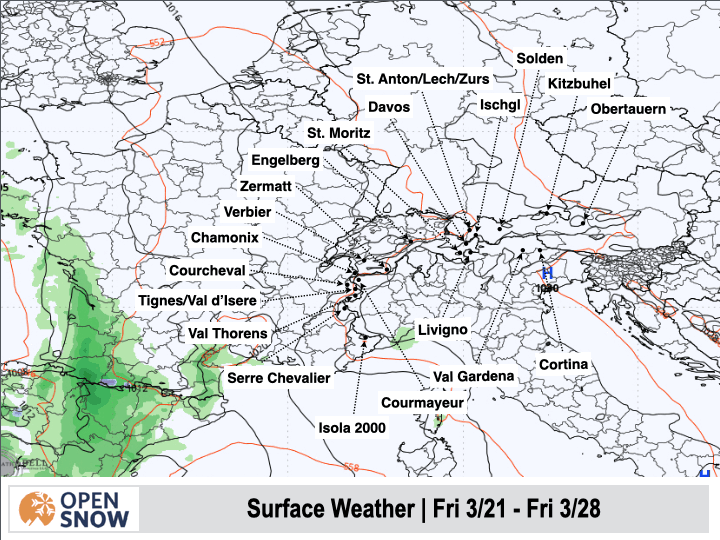
Below is the latest forecast from the European model for how the next week will play out with several rounds of snow in the Alps and Pyrenees.
And below is an early look at snow totals from the American and European models. They show snow totals of 1 - 1.5 m for much of the southern Alps and Pyrenees, especially in Italy and along the Swiss/Italian border.


Winds may shift to the southwest and north during this cycle as the upper-level low eventually starts making its way east. This would bring some decent snow to most of the French Alps and the northern Alps in Switzerland and Italy. However, the models don't handle the track of closed lows that well, especially more than five days in the future, so I am less confident in the snow in the northern and western Alps in France.
The southern Alps are in line for another long-duration snowfall event, and this time, some heavier snowfall is possible. We could see some bigger powder days in the western Italian Alps and the Italian Alps along the Swiss and Austrian borders. Snow levels look a bit on the high side, likely in the 1300 - 1600 m range.
Still, the weekend should feature some solid powder days, with more possible early next week.
Extended Forecast
The end of March and the first few days of April should remain active. The models generally show more of the same, with a low over southwestern Europe, but there are some signs of a storm moving in from the north that would finally favor the northern Alps. This is just what one model solution shows at this time, so don't get too excited.
My next post will be on Wednesday.
Thanks for reading the Europe Daily Snow!
Luke Stone
Forecaster, OpenSnow
About Our Forecaster


