New Zealand Daily Snow

By Mike O'Connor, Meteorologist Posted 8 days ago July 22, 2025
Settled Spell Ends This Weekend with a Dusting Up High
Summary
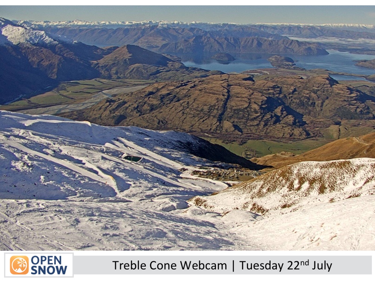
Fine weather continues on NZ ski fields through Friday under high pressure. Mt Ruapehu sees brisk southeast winds today, and northwesterlies build over the South Island. A weekend front brings rain and 5–10 cm of snow up high near the Main Divide. Mt Ruapehu may see low cloud and drizzle on lower slopes.
Short Term Forecast
Forecast for Wednesday 23rd to Friday 25th July
Sunny and calm conditions continue over the South Island through Thursday, though northwest winds will begin to strengthen. By Friday, skies remain mostly clear, but strong northwest gales will affect exposed areas, especially around the Southern Lakes.
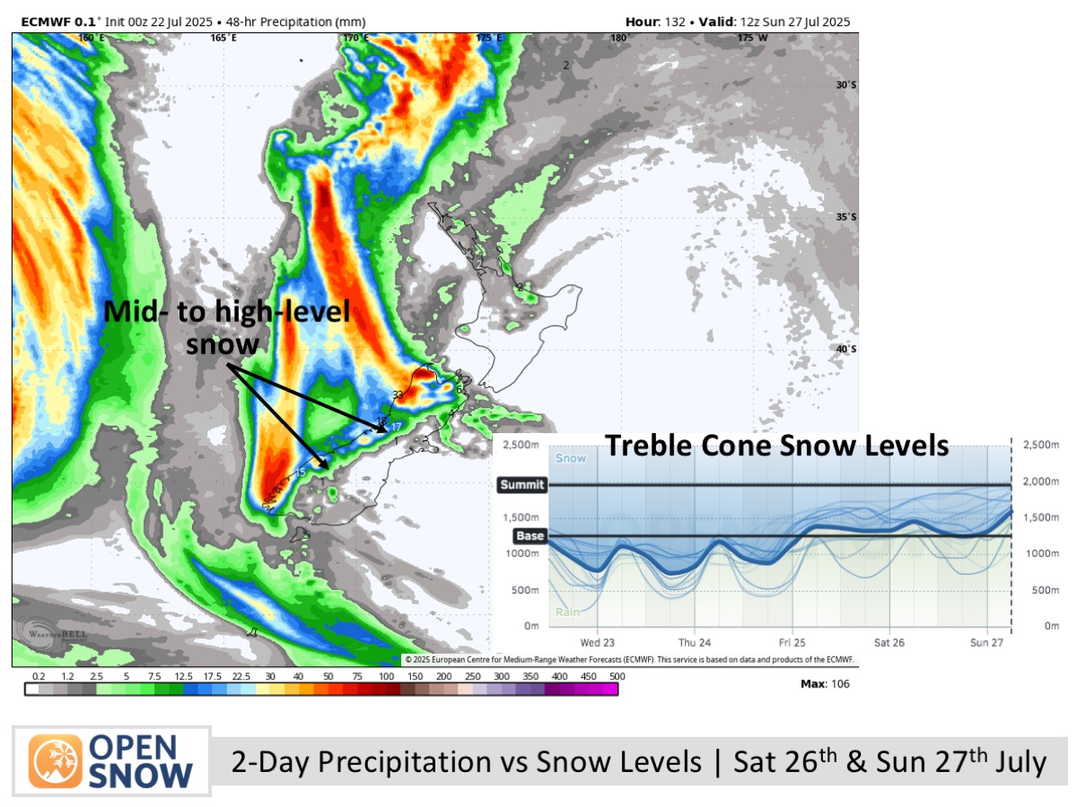
Forecast for Saturday 26th and Sunday 27th July
Saturday brings building cloud and strong northwest winds to the South Island, with evening rain and mid-to-upper slope snow near the Main Divide. On Sunday, rain and high snow ease, skies gradually clear, but strong northwest winds persist in Canterbury.
Extended Forecast
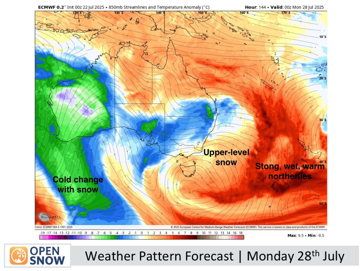
Another active front early next week will bring heavy rain and strong northerlies, continuing a recurring pattern this season. Colder air and snow may follow later in the week, especially over the South Island, with potential for North Island snow early the following week.
Thanks for reading. The next forecast will be out on Friday.
Mike
About Our Forecaster


