South America Daily Snow

By Luke Stone, Forecaster Posted 2 years ago June 5, 2023
Stormy Pattern Continues, with Fluctuating Snow Levels
Summary
It was great to see some more snow in Chile and Argentina the last several days. With resorts still closed and no snow reporting, it's a bit difficult to know how much fell. I will post some webcam shots below. More active weather for the mountains in the next week, with several warm storms lined up.
Short Term Forecast
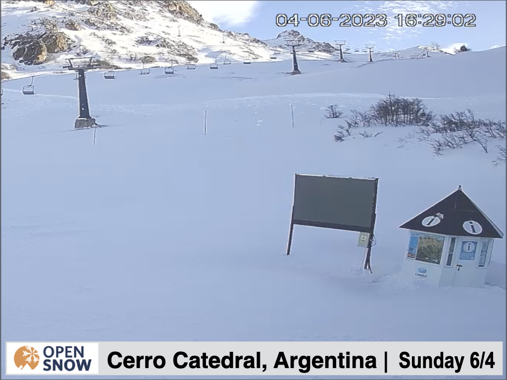
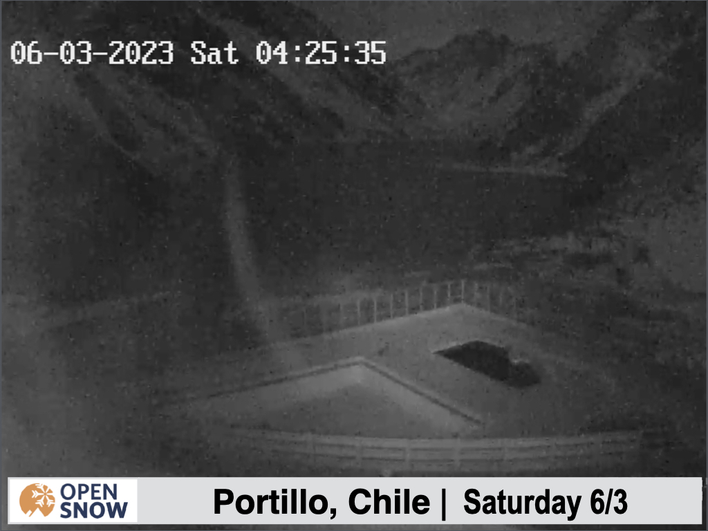
Before we get into the forecast, let's take a look at some resort webcams across Chile and Argentina.
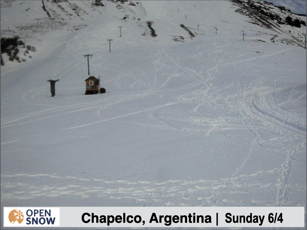
Looks like maybe some people got a few turns in at Chapelco.

The resorts in in the central and southern regions definitely did best, with limited amounts farther north.
Forecast for Monday 6/5 - Wednesday 6/7
Out next storm is already underway this morning, with high snow levels to start. This storm is tracking a bit farther south than expected as well, which will limit snow totals and the northern extent of snow. Light accumulations are possible as some colder air arrives on Tuesday, around 4 - 8 cms for the central and southern resorts. Expect rain and/or a rain/snow mix for the most part prior to the cold front.
Forecast for Thursday 6/8 - Saturday 6/10
The next system arrives for the southern resorts Wednesday night, and will be a bit colder to start. Another storm, right on its heels, taking a more northerly track, will cause temperatures to rise through Wednesday night, resulting in high snow levels once again. Most precipitation will transition over to rain during the day on Wednesday.
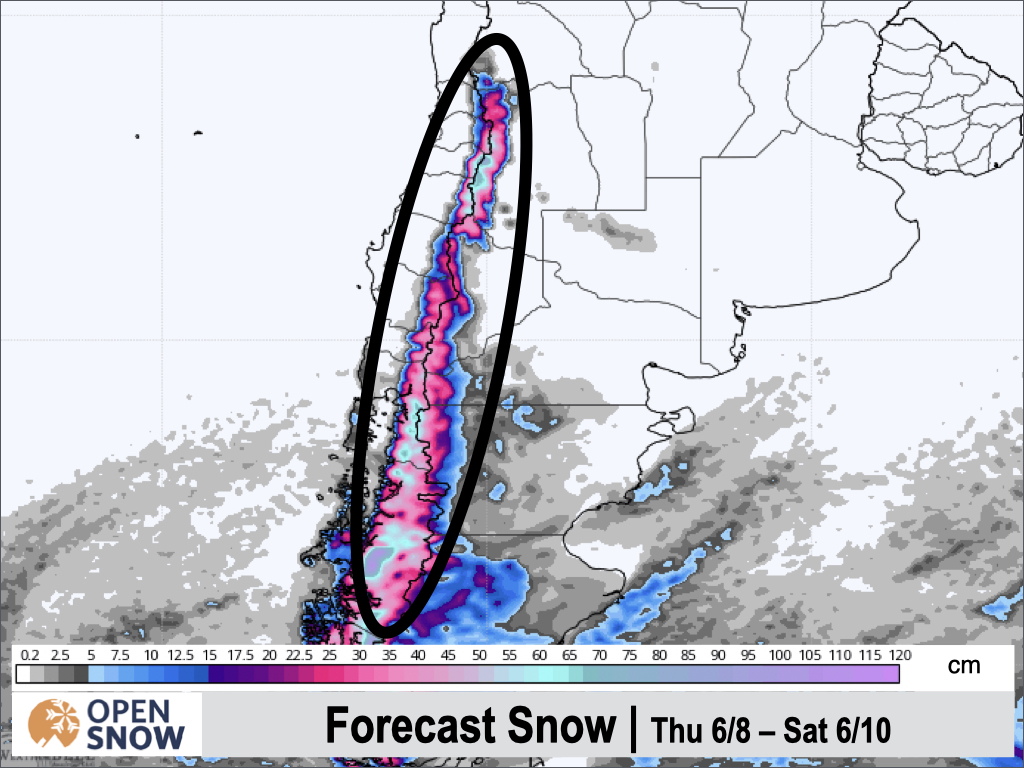
Another cold front arrives Wednesday night though, turning the rain back to snow, with some decent accumulations likely. Snow transitions from south to north overnight and should continue through Thursday before becoming more showery in the evening. However, a final wave will push through the southern Andes Thursday night, providing another strong pulse of moisture. This should result in moderate to heavy snow continuing Friday night before tapering off Saturday morning.
Most resorts should wind up in the 20 - 40 cm range for this time period, with some upper elevations possibly approaching 50 cms. Accumulations are a bit tricky during these storms with borderline temperatures. Here is the snow forecast from the European model. These totals are likely overdone due to the marginal temperatures, but you can see where the greatest totals are likely to fall.
Extended Forecast
Outlook for Sunday 6/11 - Thursday 6/15
After the precipitation winds down on Saturday, we may finally get a break in the action, at least for the central and southern resorts, as a ridge sets up over the southern Andes. As early as Monday or Tuesday though, a storm may track through central/northern Chile/Argentina. Right now this storm dsnt look too strong or cold, but may result in some lighter rain and high elevation snow Tuesday and Wednesday.
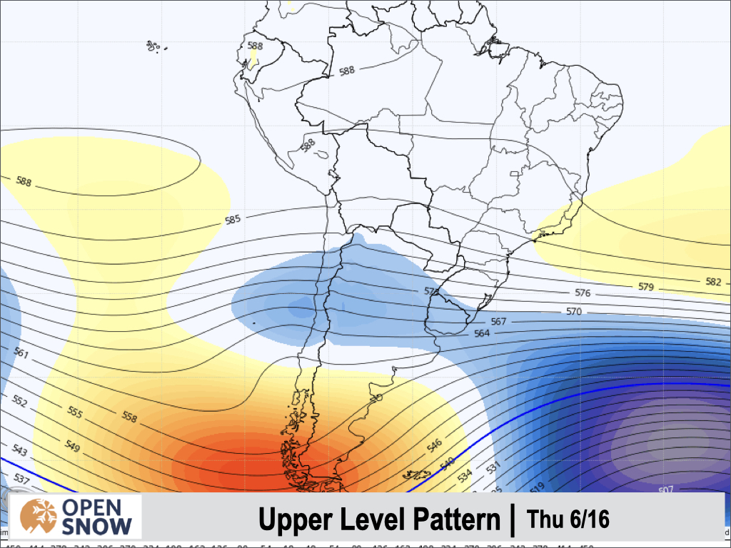
Below is the upper level pattern for the five days ending Thursday the 15th. You can see the ridge of high pressure indicated by the yellow colors over the southern part of the continent. Meanwhile, the lighter blue colors over northern Chile/Argentina show the weak storm system that may impact that region during this time.
Ok, that's all for today. I will have another update for you on Wednesday.
Thanks for reading the South America daily snow! Follow me @lstone84 on Instagram to check out some new content I will be creating for the North American summer months. Let me know what you think.
About Our Forecaster


