South America Daily Snow

By Luke Stone, Forecaster Posted 2 years ago June 7, 2023
More Storms, More Snow Level Concerns
Summary
Yesterday's storm came in a little cooler than expected, with several resorts seeing snow and some decent accumulations. We stay stormy through the weekend before things quiet down for a bit, but snow levels will be fluctuating quite a bit once again.
Short Term Forecast
I was expecting more rain than snow for the early part of this week's action, but the cold front arrived a bit sooner and brought snow as early as Monday night. Check out some shots from Monday night and Tuesday morning across the Andes.
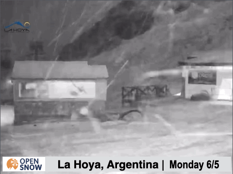
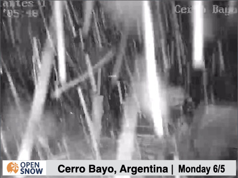
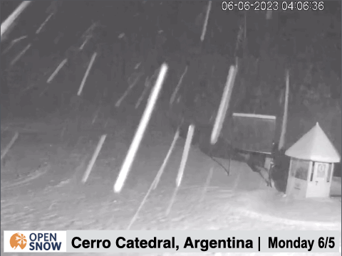
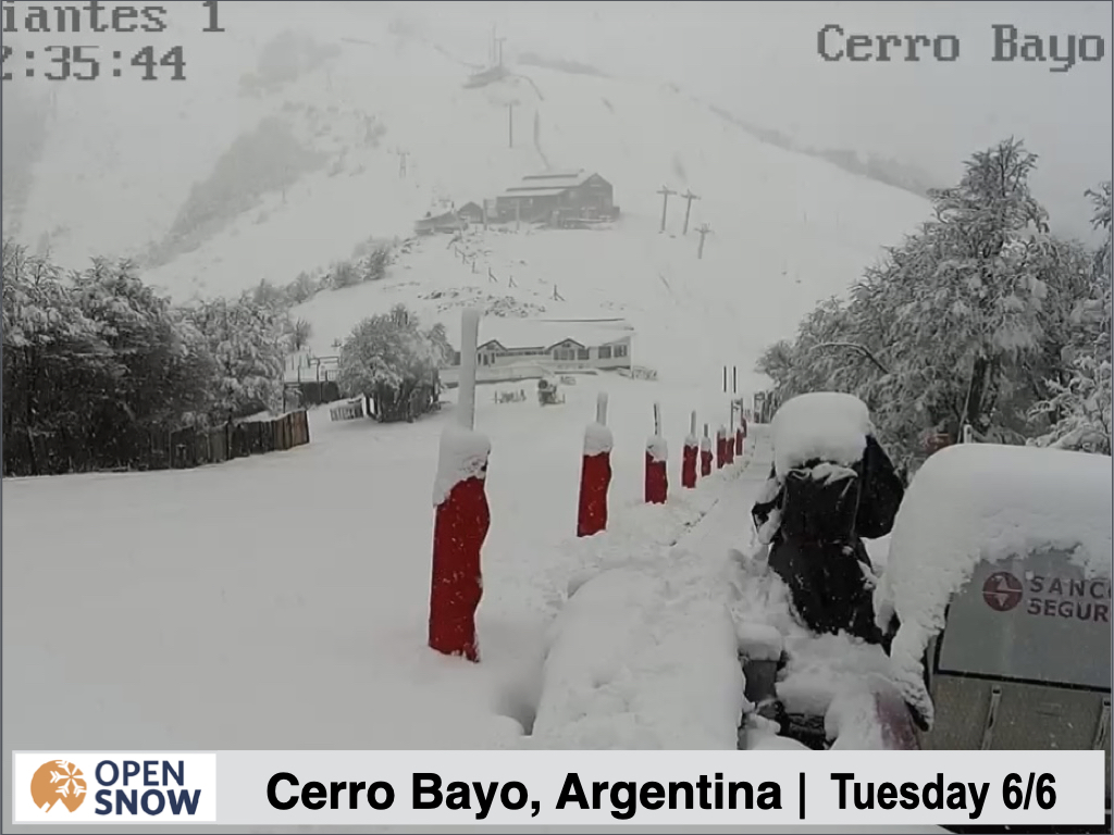
It was certainly dumping for at least a little while Monday night at these resorts, and you can see some solid accumulations at Cerro Bayo.
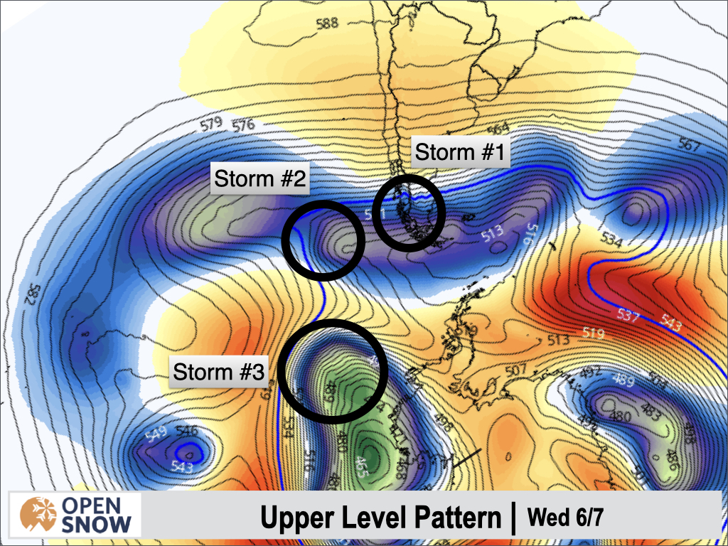
As mentioned, a few more storms are lined up in the Pacific, arriving this morning, Wednesday, and Thursday, as you can see below. There are fairly fast moving with varying snow levels. The three rounds of precipitation will seemingly blend into one longer event, with temperatures cooling off over time.
Forecast for Wednesday 6/7 - Saturday 6/10
Our next storm is fairly warm, with the cold air staying in the southern part of the continent, south of most resorts. We are looking at mostly clear precipitation except at the highest elevations of the ski resorts through Thursday morning, with snow levels ranging from 1200 m in the south, to 2100 m in the central, and 3000m in the north.
During the day on Thursday, a cold front will push north, dropping snow levels and turning rain to snow, south to north. We should see all snow Thursday evening or perhaps later Thursday night. Precipitation remains moderate to heavy through Thursday, before the heaviest shifts north in the evening, becoming more showery in the south.
The final wave arrives Friday morning, causing precipitation to become heavy again in the south, and again shifting north through the day, adding to the accumulations. I am still thinking 20 - 40 cms for most areas, likely deepest around Alto del Padre, Antillanca, Volcan Osorno, and Corralco. Some light snow may linger through Saturday at upper elevations
Extended Forecast
Outlook for Sunday 6/11 - Thursday 6/15
The break in storms starting on Sunday is still on track. In the last post I mentioned a weaker storm impacting the northern resorts, but this has trended even weaker and farther north. Now it looks like this region will stay dry next week as well.
Thanks for reading the South America daily snow! Follow me @lstone84 on Instagram to check out some new content I will be creating for the North American summer months. Let me know what you think.
About Our Forecaster


