South America Daily Snow

By Luke Stone, Forecaster Posted 2 years ago June 12, 2023
Solid Dump Across the Andes Over the Last Few Days, Quiet for the Next Week
Summary
The final round of snow from Friday to Saturday delivered some decent totals across the resorts of Chile/Argentina. The next week or so looks mostly dry, with storm chances returning as early as next weekend. Next Wednesday, I will provide a seasonal outlook for the 2023 Winter in Chile and Argentina.
Short Term Forecast
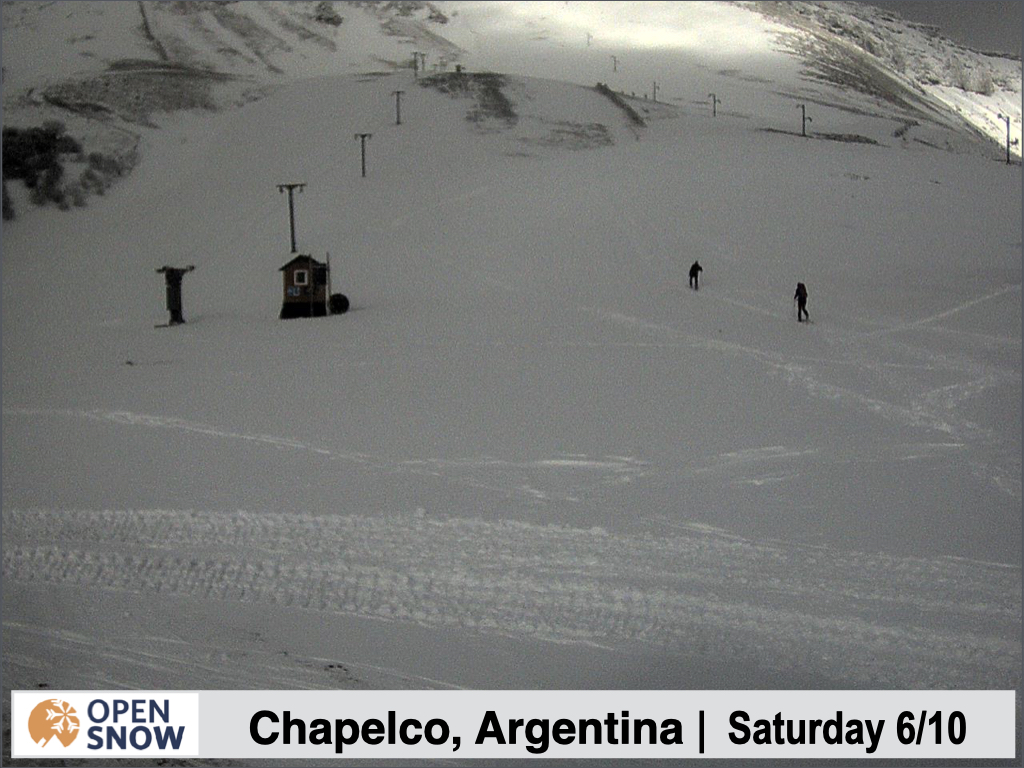
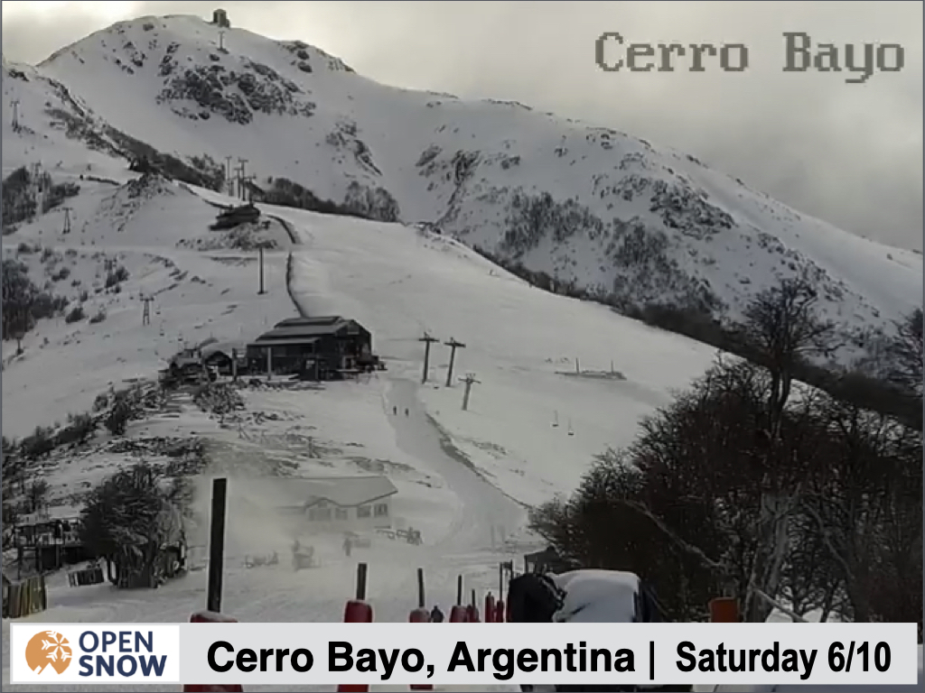
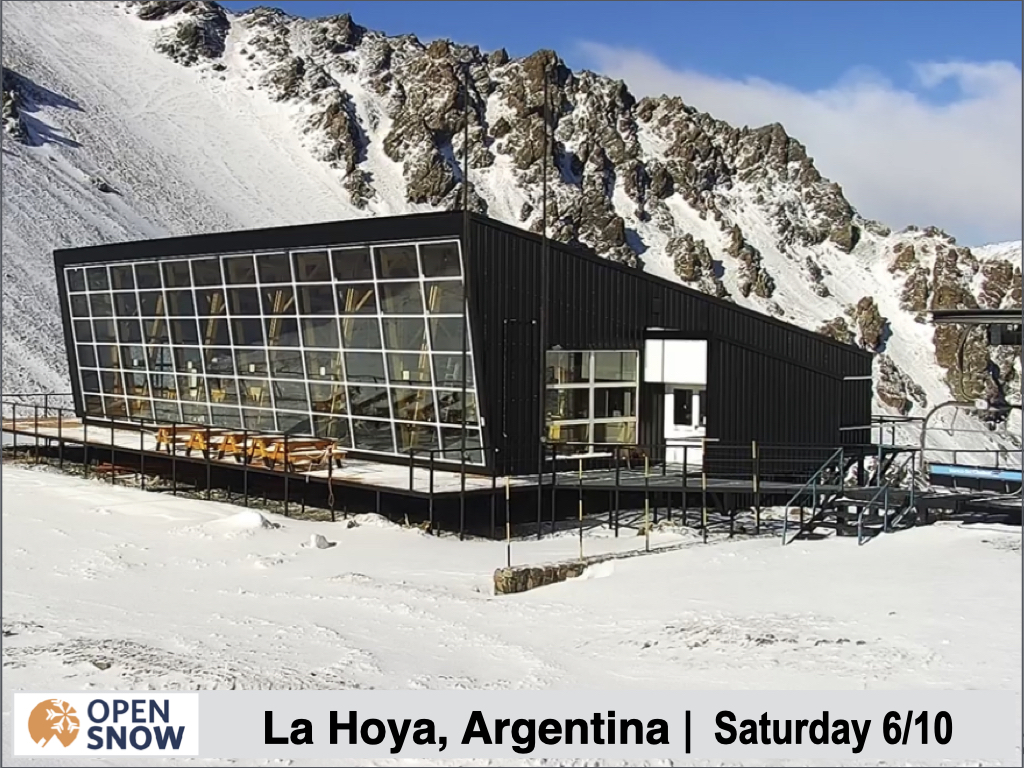
Before we get into a short forecast today, let's enjoy a little photo/video tour from last week's snow.
First, check out the link below to see a thrilled puppet enjoying the fresh snow at Cerro Catedral.
https://www.instagram.com/p/CtU4ltrgNVo/

And below are several pictures across the region showing the new snow.

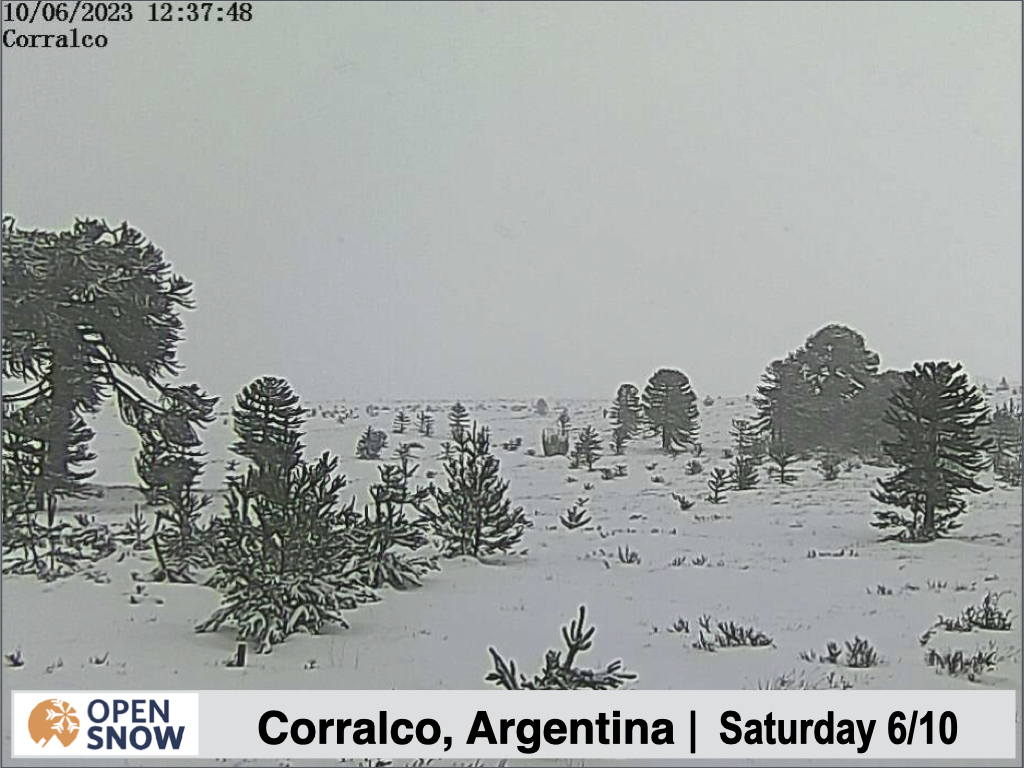
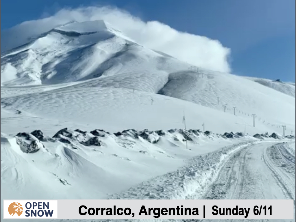
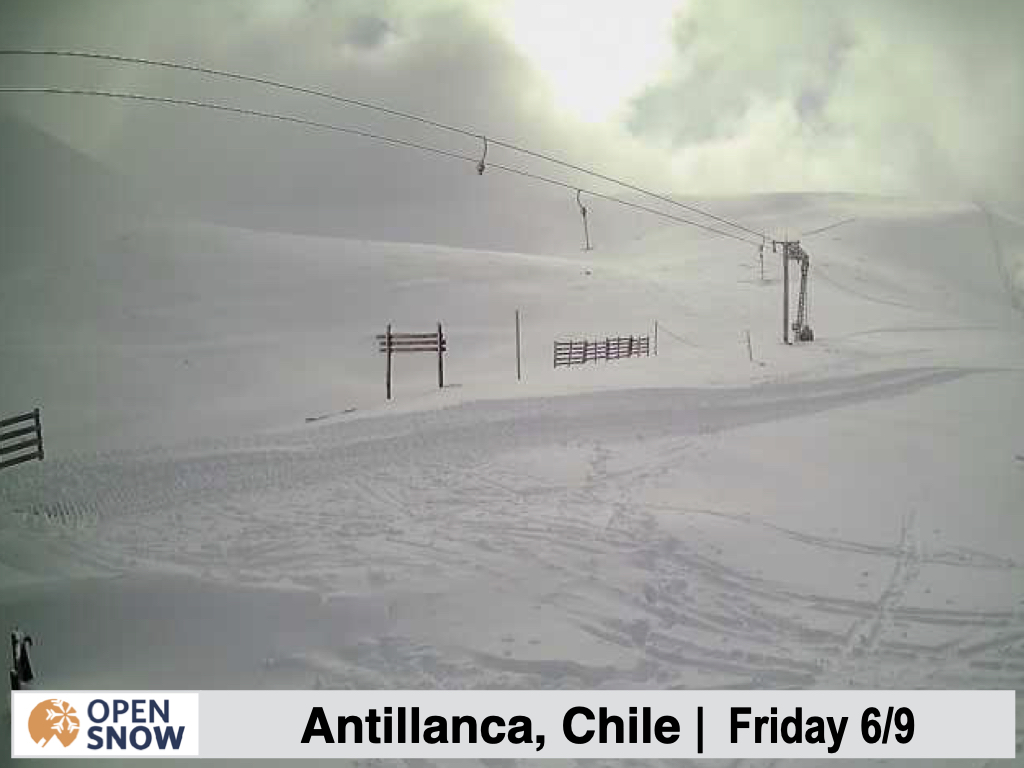
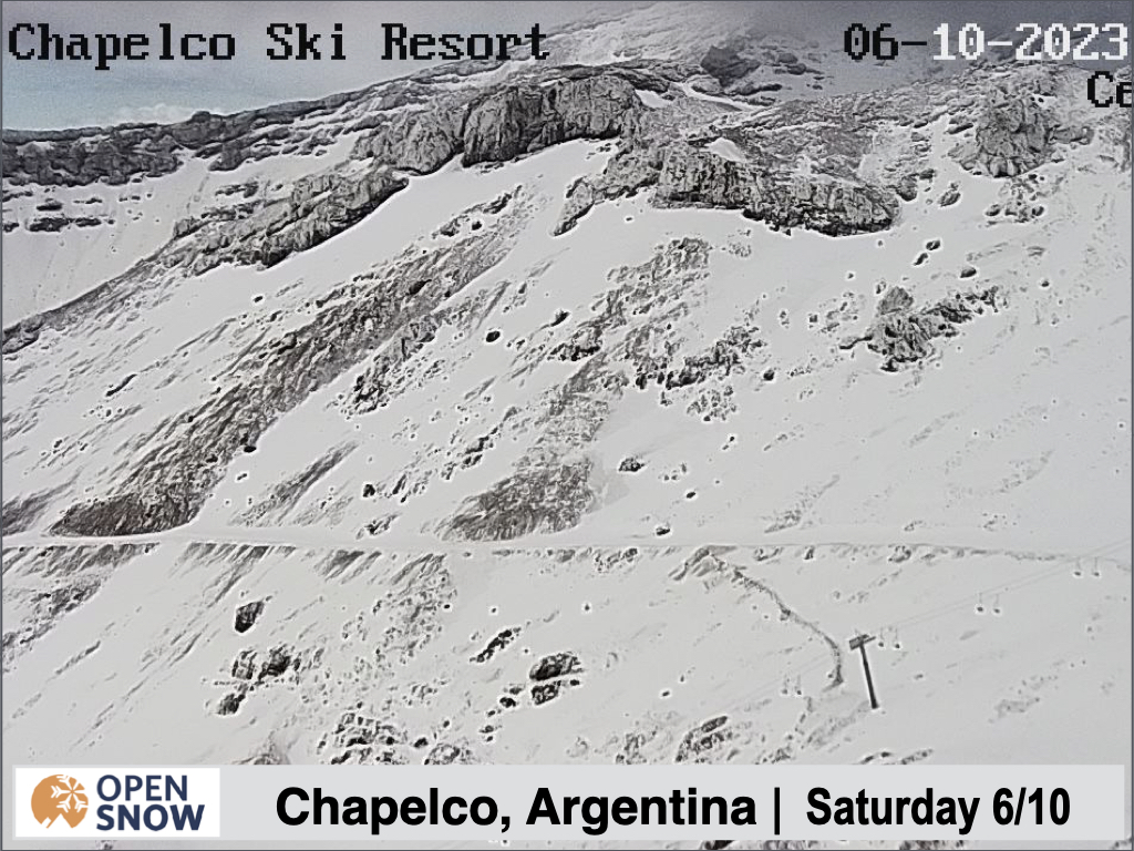
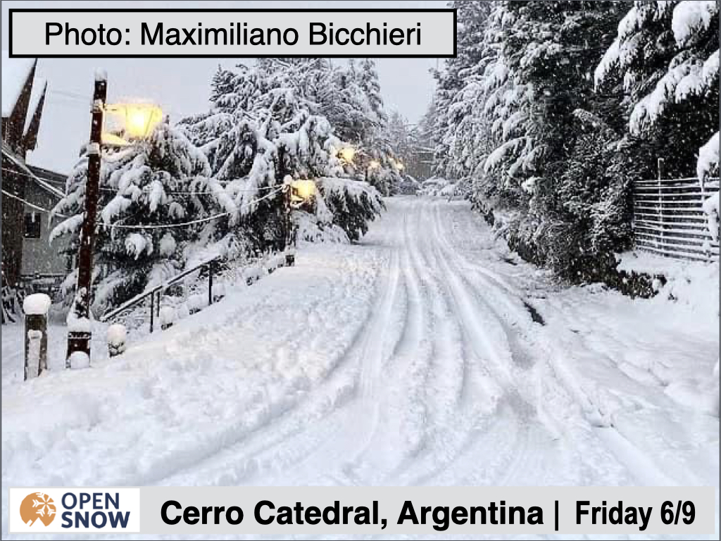
Again, it is hard to find exact totals, but early on in the storm I did see someone report 30 cms at Cerro Catedral.
Forecast for Monday 6/12 - Friday 6/16
Well, this one won't be too complicated to write. This week looks pretty boring, as far as storms go. Outside of some snow showers in the north Monday night, and some rain/snow showers in the south on Tuesday/Wednesday, we should stay mostly dry. Temperatures look a bit above normal through the first part of the week, with a cooling trend beginning on Wednesday behind the weak system in the south.
Extended Forecast
Outlook for Saturday 6/17 - Wednesday 6/12
Below is the upper level pattern for the week of the 12th.
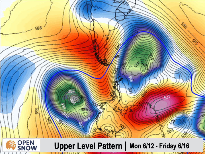
The blue colors represent areas of low pressure in the upper atmosphere, which typically mean storms. The orange colors mean areas of high pressure in the upper atmosphere, usually resulting in dry and warm conditions. You can see that to start the week we have a ridge over the southern part of South America, followed by a weak storm crossing the southern tip of the continent mid week in the middle of the GIF. By the end of the clip, you can see a stronger storm that stretches much farther north into the continent, and this is the next potential snow event for the region.
I will update you on this next possible storm on Wednesday, as well as provide an outlook for the Southern Hemisphere 2023 Winter.
Thanks for reading the South America daily snow! Follow me @lstone84 on Instagram to check out some new content I will be creating for the North American summer months. Let me know what you think.
About Our Forecaster


