Winter Park Daily Snow

By Joel Gratz, Founding Meteorologist Posted 2 years ago November 5, 2022
More snow on Saturday night
Summary
This weekend will be cloudy and cool with an additional few inches of snow accumulation, mostly on Saturday night.
Update
Friday was a mixed day with 6 inches of fresh snow to start the day, a little bit more accumulation in the morning, then drier weather throughout the rest of the day.
On Friday night, energy from a new storm to our northwest coaxed the atmosphere into delivering 1-2 inches of snow overnight, and this will be freshly available for Saturday morning. While 1-2 inches does not make a powder day, it does help to keep the snow surface soft, and we can't ask for anything more.
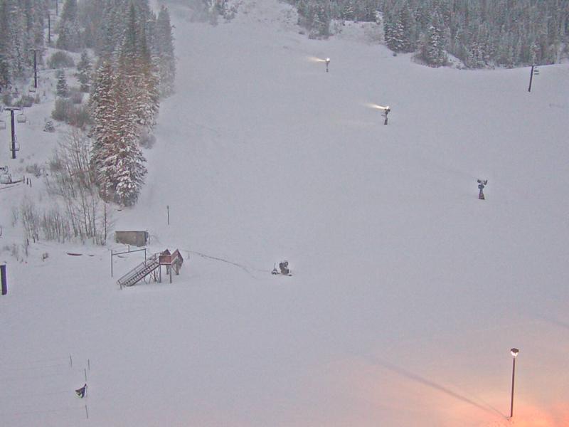
Here is a look at the base area on Saturday early morning. It's looking more like winter!
For Saturday and Sunday, expect mostly cloudy and windy weather. We could see snow showers during these days as well, and Saturday night will be the best chance for accumulating snowfall with maybe 3-6 inches of new snow by Sunday morning. This storm is a 'game of inches' as it could track just a bit to the north and bring us less snow or track just to the south and push our snow totals to the high end of the range. Either way, there should be some new snow to enjoy on Sunday morning.
For next week, Monday and Tuesday will be dry, mostly sunny, and warmer with high temperatures of around 40 degrees. Then on Wednesday and Thursday, the next storm will bring snow and accumulations could be significant, with powder possible later on Wednesday or early on Thursday.
Thanks for reading!
JOEL GRATZ
Meteorologist at OpenSnow.com
Snow conditions as of Saturday morning
New snow mid-mountain:
* 3” (24 hours Friday 500am to Saturday 500am)
* 1-2” (Overnight Friday 400pm to Saturday 500am)
Last snowfall:
* 9” Thursday to Saturday (Nov 3-5)
Terrain
* 5 of 23 lifts
* 4 of 166 trails
* Latest update
Snowpack compared to the 30-year average:
* 113%
About Our Forecaster


