Winter Park Daily Snow

By Joel Gratz, Founding Meteorologist Posted 2 years ago November 6, 2022
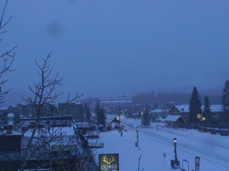
More snow for Sunday morning
Summary
Snow continued to fall on Saturday and Saturday night, so there will again be softer conditions on Sunday morning.
Update
While we were expecting more snow to fall on Saturday night, Saturday daytime did bring snow showers with about 1 inch of accumulation.
Then on Saturday night, an additional 2 inches accumulated at mid-mountain, so the 24-hour snow report now on Sunday morning shows 3 new inches. And it's still snowing lightly now on Sunday morning, too.
For the rest of Sunday, we might see a little more snow accumulation, though I think that the snowfall will subside throughout the day.
Looking at the week ahead, Monday, Tuesday, and Wednesday will be dry with partly-to-mostly sunny skies and warmer temperatures that should reach the 40s. Then our next storm will bring snow from Wednesday night through Thursday with moderate snow accumulations, maybe in the 3-6 inch range, and perhaps more. This timing means that Thursday morning will likely offer softer turns and maybe a bit of powder, and temperatures on Thursday will be chilly with highs in the teens.
Thanks for reading!
JOEL GRATZ
Meteorologist at OpenSnow.com
Snow conditions as of Sunday morning
New snow mid-mountain:
* 3” (24 hours Saturday 500am to Sunday 500am)
* 2” (Overnight Saturday 400pm to Sunday 500am)
Last snowfall:
* 12” Thursday to Sunday (Nov 3-6)
Terrain
* 5 of 23 lifts
* 5 of 166 trails
* Latest update
Snowpack compared to the 30-year average:
* 136%
About Our Forecaster


