Copper Mountain Daily Snow

By Joel Gratz, Founding Meteorologist Posted 4 months ago March 21, 2025
Snow Friday night through Sunday morning
Summary
Friday will start with a bit of fresh snow, there will be dry weather during the day, and then the next storm will bring snow from Friday night through Saturday night.
Update
Helpful Links
Conditions
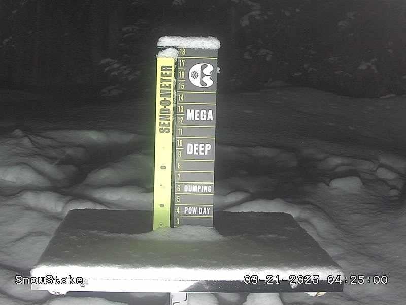
- New Snow (Mid-Mountain snow stake)
- 1” Thursday 500am to Friday 500am (24 hours)
- 1” Thursday 500pm to Friday 500am (12 hours)
- Last Snowfall
- 1” Thursday Night (Mar 20-21)
- Snowpack
- 110% of the 30-year average
- Terrain
- 23 of 23 lifts
- 158 of 161 trails
Thursday Recap
Thursday was partly sunny with a high temperature in the 20s.
On Thursday night, a fast-moving storm dropped 1 inch of snow at mid-mountain.
Friday (Mar 21)
There will be 1-2 inches of fresh snow for Friday's first chair (a bit more accumulated during the morning), otherwise, Friday's weather will be partly sunny with a high temperature in the upper 20s.
Saturday & Sunday (Mar 22-23)
From Friday evening through Sunday morning, a warming storm will bring snow.
On Saturday morning there should be some fresh snow for the first chair, snow should continue to fall during most of the day, and snow showers could hang around through Saturday night.
Most forecast models predict 5-9 inches of accumulation, though the caveat is that this storm will have warming air. Sometimes, at somewhat higher-elevation ski areas closer to the continental divide, such as at Copper, these warm storms deliver snowfall at the top end or above the forecast range.
The high temperature on both Saturday and Sunday should be around 30°F.
Monday (Mar 24)
On Monday, storm energy will track just to the north of Colorado, and this should create partly to mostly cloudy skies with a few snow showers. The high temperature should be in the mid-to-upper 30s.
Tuesday (Mar 25)
On Tuesday, any lingering clouds should dissipate by the morning, and the rest of the day will likely be sunny and warm with a high temperature in the low 40s.
Wednesday and Thursday (Mar 26-27)
Wednesday and Thursday will be mostly sunny and warm with high temperatures in the mid-40s to low 50s. It'll feel like spring.
Friday (Mar 28)
As a storm approaches, Friday could become cloudier and a little cooler with a high temperature in the lower 40s.
Saturday (Mar 29)
The next storm should arrive around Saturday, March 29, plus or minus a day. Winter isn't over yet!
Tap below to see our forecasts:
My next update will be on Saturday morning.
Thanks for reading!
JOEL GRATZ
Meteorologist at OpenSnow.com
About Our Forecaster


