Australia Daily Snow

By Mike O'Connor, Meteorologist Posted 1 year ago June 20, 2024
Happy Feel-Good Weather this Weekend after a Light Dusting on Friday
Summary
Snow showers on Friday will see Australian resorts picking up a dusting of 2-4cms. With additional snowmaking, it'll be a great weekend to be up in the mountains as happy high-pressure moves in with sunny skies and mostly light winds. That'll continue on Monday before more snow showers are expected from Tuesday to Thursday.
Short Term Forecast
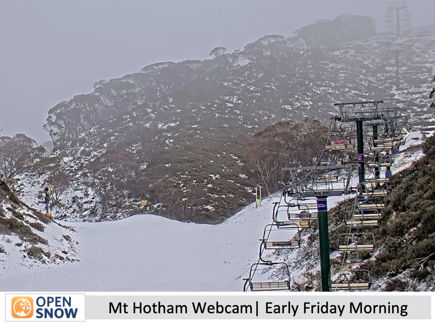
A weak storm system passed north of the Australian Alps Thursday night with only the lightest of snowfalls accumulating to zilch. Earlier forecasts were calling for more but the system continued to show up weaker and weaker in the forecasts.
Light snow showers did turn up on Monday as forecasted, leaving a light dusting of 1-3cms to add to the slowly building snowpack which has been significantly bolstered by snowmaking after a good, long run of cold temperatures over the past week or so. The result is an expansion of open and skiable terrain on the main runs, while off-piste is still thin and bony and unskiable.
Forecast for Friday (21st June)
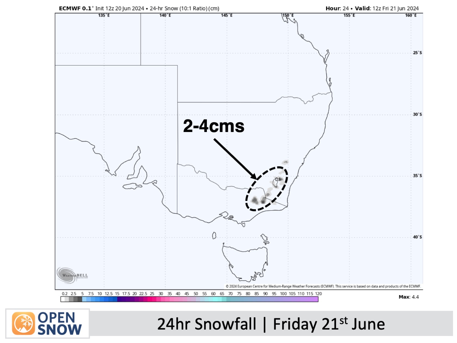
The weak storm system will pull in brisk southerly winds over the Australian Alps on Friday, bringing in clouds and a period of snow showers, which will spread over Victoria in the morning and then New South Wales in the afternoon. Wind chill and limited visibility may be a factor, but overall resorts should chalk up between 2-4cms above 1400m.
Forecast for the weekend and Monday (22nd to 24th June)
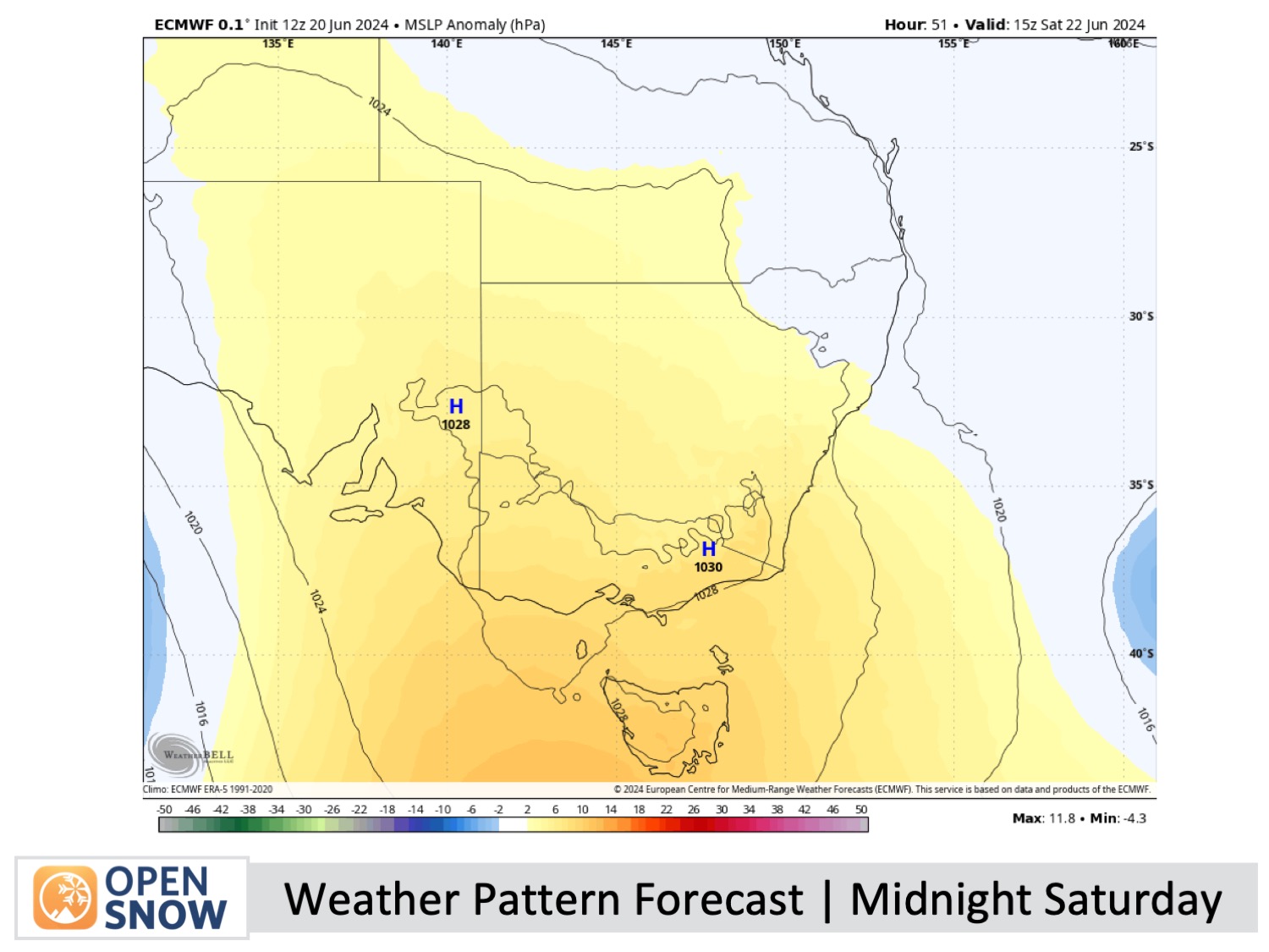
After the wee dusting on Friday and continued snowmaking, it'll be a nice weekend to be up in the mountains as high pressure will move in to provide sunny skies. The southerly winds will also drop off on Saturday and remain light on Sunday before northwesterlies develop on Monday. Monday skies will also be sunny with just a little high cloud sneaking in overhead.
Extended Forecast
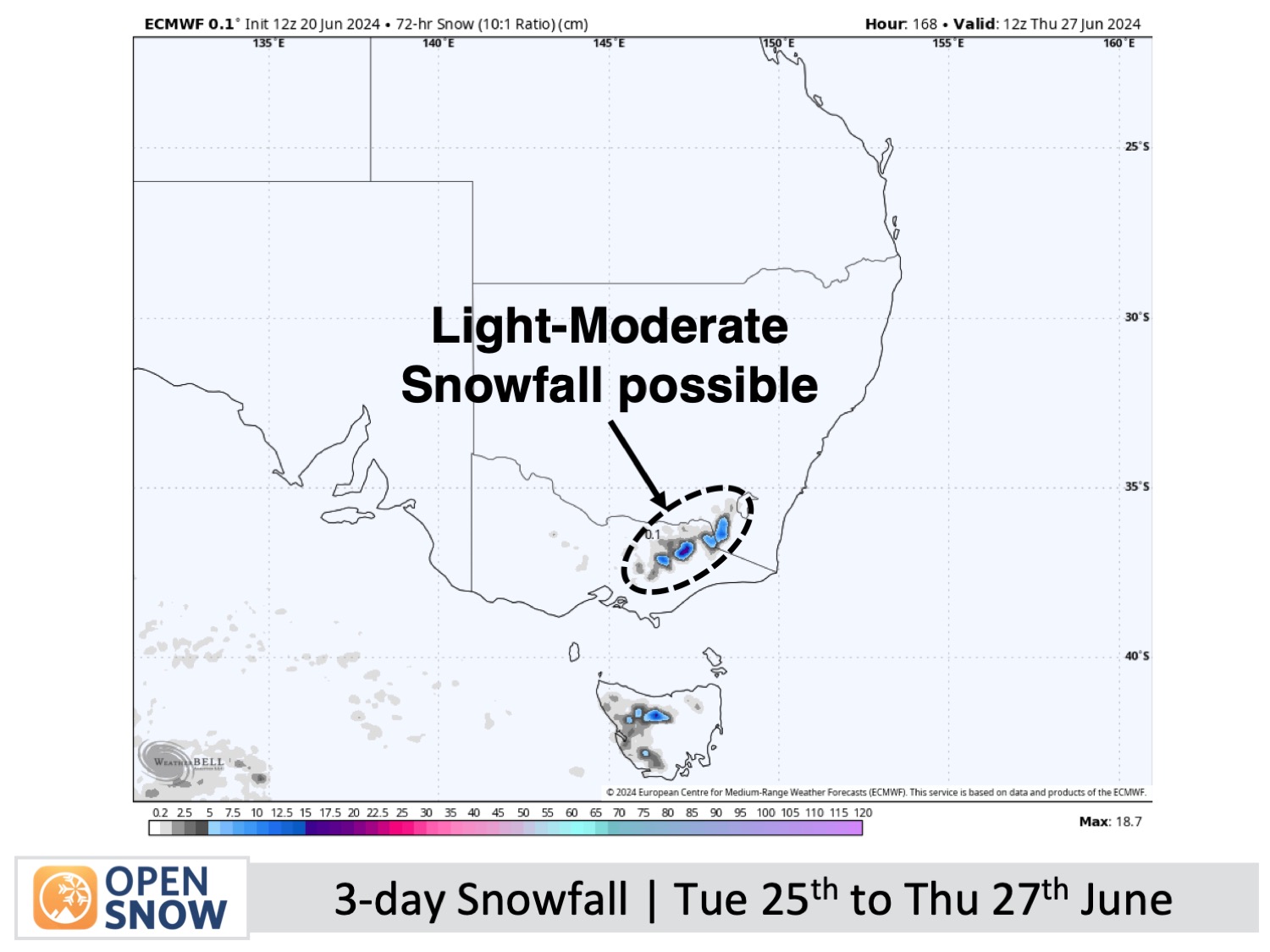
A storm from the west is lined up to bring snow showers to the Australian Alps from Tuesday 25th into Thursday 27th of June, with light to moderate accumulations possible.
Another storm is on the cards for the following weekend of the 29th and 30th of June. Early forecasts suggest this one may be a bit stronger, however, most of the precipitation may fall on the warm side of it, leaving us with more rain than snow.
Thanks for reading. I'll keep these forecasts coming every Monday, Wednesday & Friday throughout the southern hemisphere season.
Mike O'Connor
About Our Forecaster


