South America Daily Snow

By Luke Stone, Forecaster Posted 2 years ago June 23, 2023
Heavy Snow in the North, Shifts South Next Week
Summary
Significant accumulations already for northern resorts, with more to come through Saturday. Not much of a break before the next storm arrives on Sunday, bringing heavy snow to the central and southern resorts through early next week. The end of next week remains unclear, with a storm off the coast that may or may not be close enough for any impacts.
Short Term Forecast
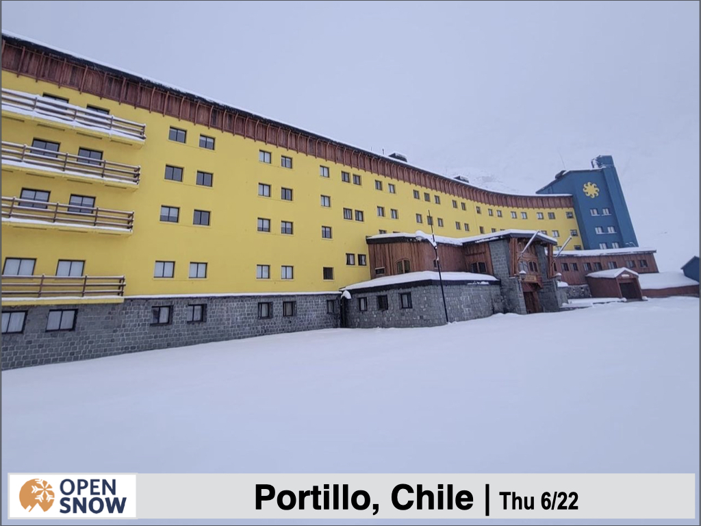
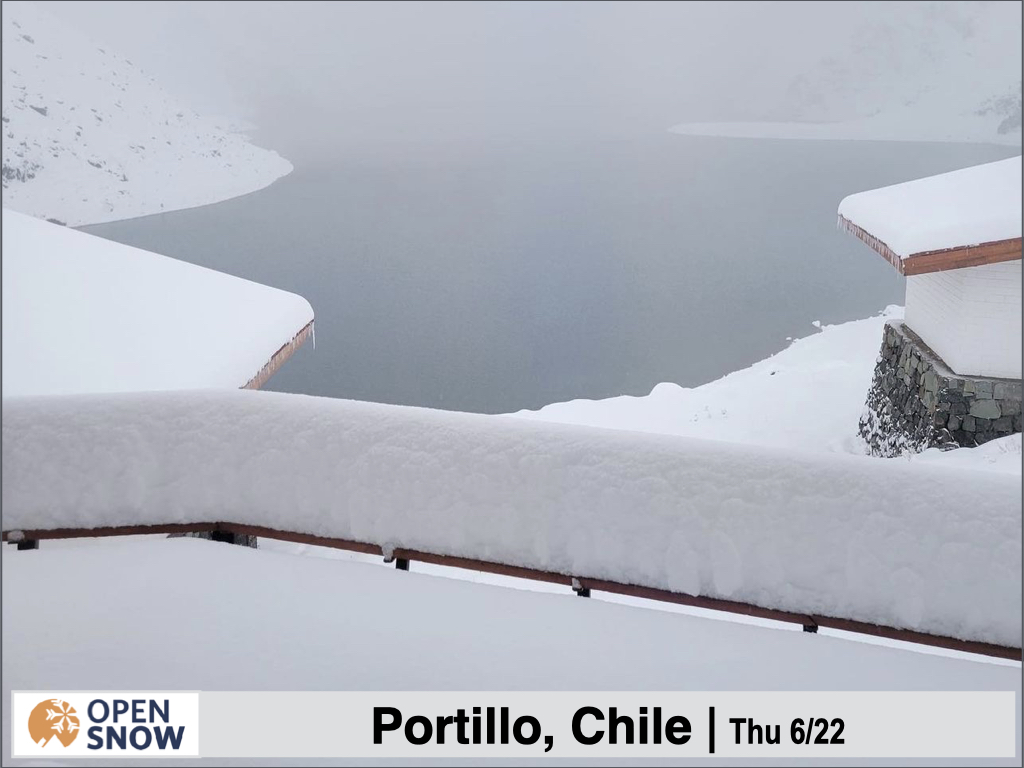
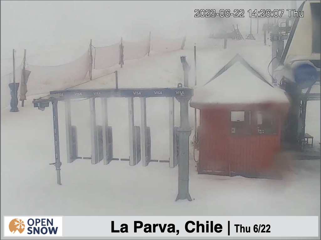
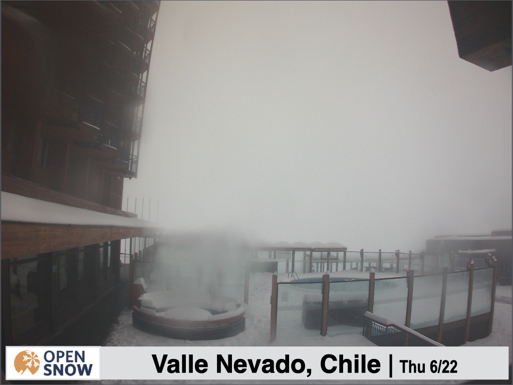
We are already seeing some impressive totals even as of yesterday (Thursday) morning, with 38 cms reported at Portillo, while the OpenSnow estimate puts around 20 cms for La Parva while Valle Nevada is reporting 30 cms. Check out some snowy webcam shots from the northern resorts below.
Forecast for Friday 6/23 - Saturday 6/24
The first storm will continue to deliver snow to the northern resorts today, and continue through Saturday, with significant additional accumulations. Below is the Canadian model's additional snow forecast through Sunday. This model seems to be handling the snow levels best lately.
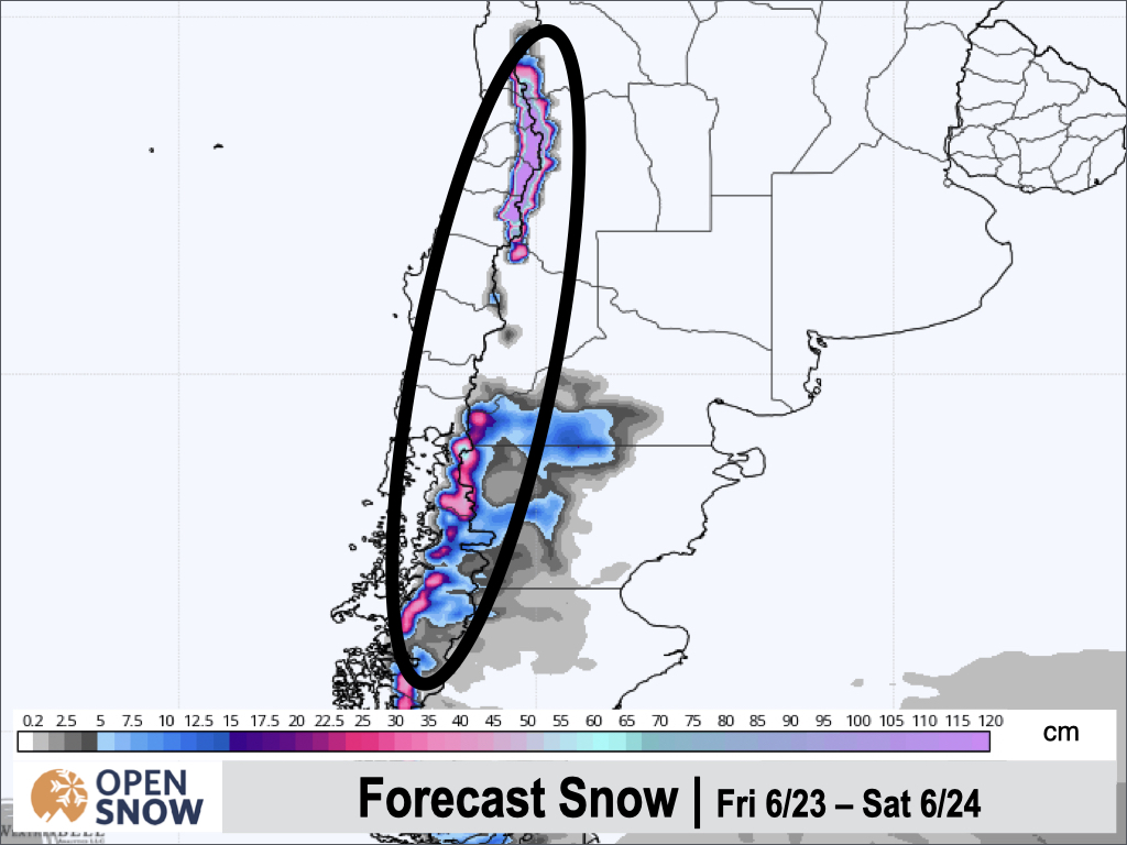
As I mentioned on Wednesday, snow levels are keeping things more wet than white farther south, and although I won't show you, I confirmed this on many of the webcams yesterday.
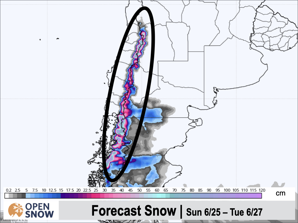
Forecast for Sunday 6/25 - Tuesday 6/27
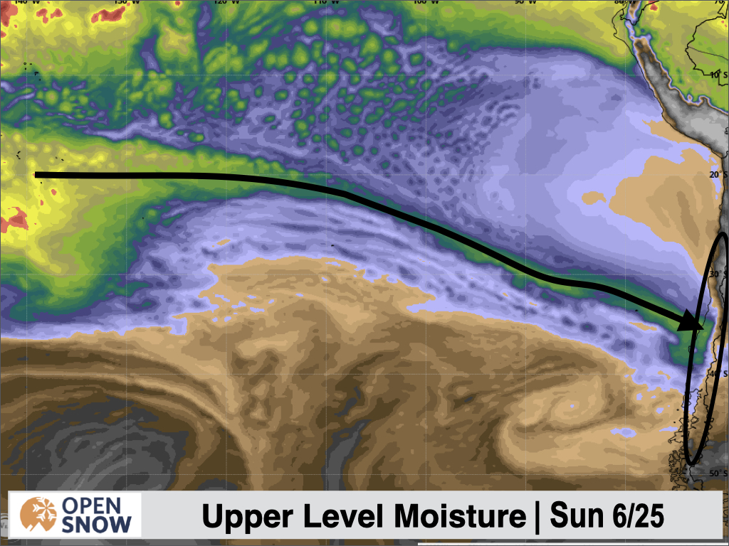
Our next storm arrives Sunday morning, with the emphasis on the central and southern areas, especially in Argentina, this time around. Remnant moisture from the previous atmospheric river will still be present early on Sunday, before shifting north and weakening.
Snow levels start high around 1500/1600m, but drop during the day on Sunday down to ~900/1000m, and will be low enough for snow below the bases for most areas by Sunday night. The heaviest snow will fall from Sunday night through Tuesday morning, with solid totals likely for Pucon, Corralco, Antillanca, Volcan Osorno, and Las Araucarias.
Below is the snow forecast from the Canadian model for this period.
Extended Forecast
Outlook for Wednesday 6/28 - Sunday 7/2
Once the storms wrap up on Tuesday, a ridge will set up for Argentina and Chile on Wednesday, briefly drying things out. Then, a very strong area of low pressure will develop in the upper atmosphere off the coast of Chile. The models do not yet agree if and when and how this storm will move inland.
The American model has a small wave of energy break off from the strong upper level low and just graze the continent toward the end of the week. The Canadian model keeps things dry until the end of the weekend, when the strong upper level low finally progresses east into Chile. The European model brings the brunt of the upper level low pressure system onshore as early as Thursday.
Hopefully by Monday this uncertain period is more clear.
Thanks for reading the South America daily snow! Follow me @lstone84 on Instagram to check out some new content I will be creating for the North American summer months.
About Our Forecaster


