South America Daily Snow

By Luke Stone, Forecaster Posted 2 years ago July 3, 2023
Quick Update on Major Storm Starting Today (Monday)
Summary
I'm on the road for some travel so today's update will be quick. We still have a major storm on track for the central and southern resorts in Chile and Argentina, with more snow possible on the weekend. Many resorts are now open so you can chase this storm in South America!
Short Term Forecast
The storm is already underway! Check out some webcam shots below.
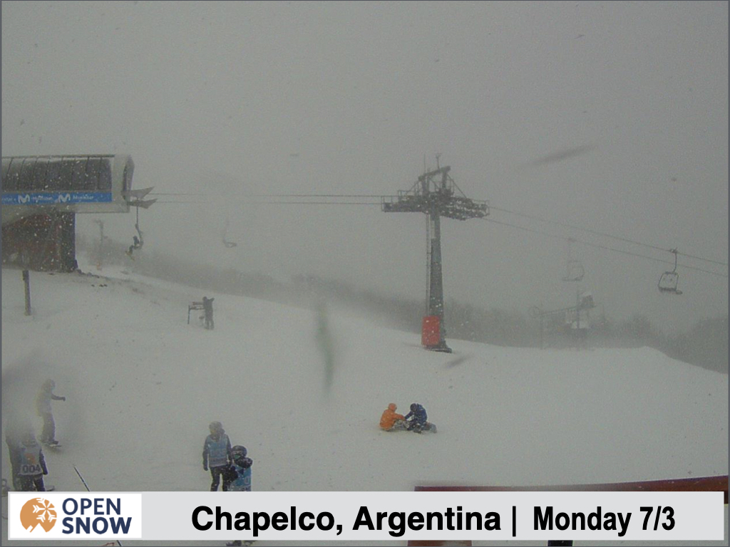
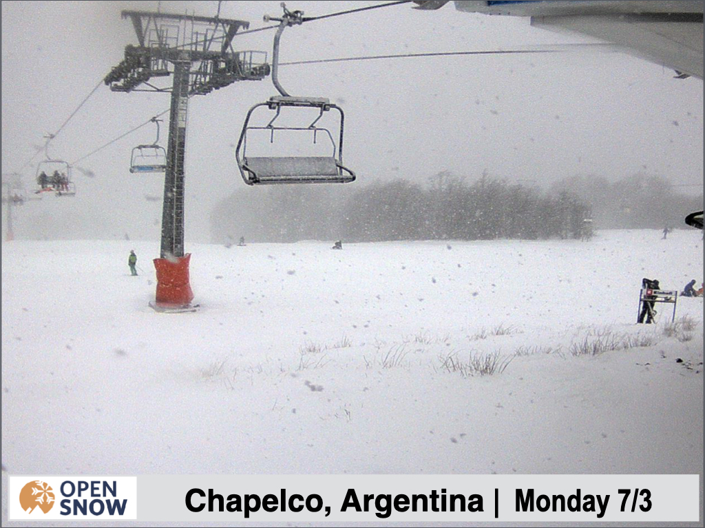
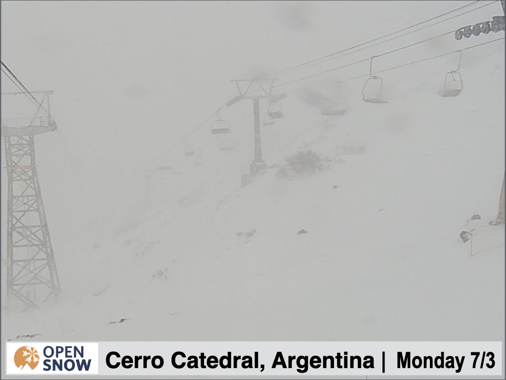
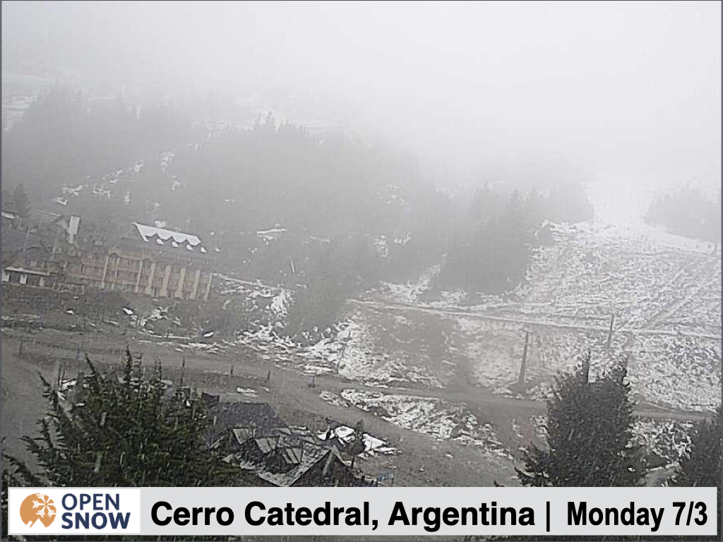
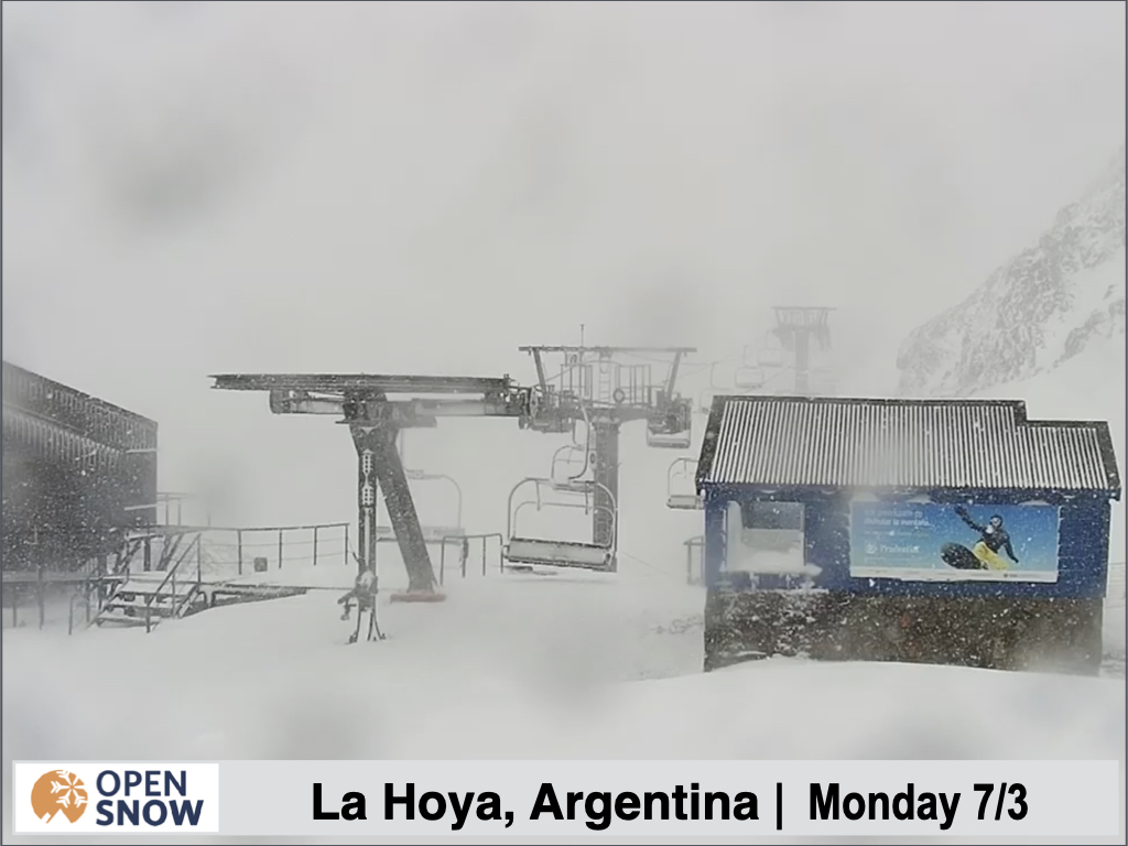
Forecast for Monday 7/3 - Thursday 7/6
A major winter storm is still on track for parts of Chile and Argentina this week, starting today. For Cerro Catedral, La Hoya, and El Fraile, moderate to heavy snow will start as early as today, then spreading further north and south on Tuesday. Snow will continue at a good clip through the day Wednesday, before becoming more showery Wednesday night. Snow showers will likely continue through Thursday as well with additional accumulations.
Resorts like Nevados de Chillan, Corralco, Cerro Catedral, and Pucon should do really well with 50 - 100 cms expected from this storm. Chapelco, Antillanca, Volcan Osorno, and Perito Moreno should do well too, with 30 - 60 cms likely. Amounts decrease as you head farther south, while northern resorts like Portillo, Valle Nevado, and Las Lenas will only see a few cms.
Check out the snow forecast from the European model below. Totals are bit overdone but you can see where the heaviest snow is likely to fall.
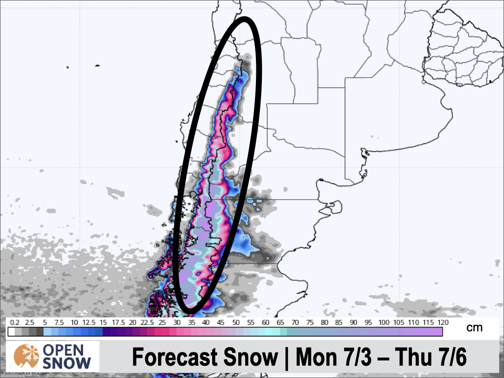
Forecast for Monday 7/3 - Thursday 7/6
Extended Forecast
Outlook for Friday 7/7 - Tuesday 7/11
Another storm is possible over the weekend, but the models are not in great agreement on it. Some show light snow while others snow another solid storm. I will update you on those details Wednesday.
Thanks for reading the South America daily snow! Follow me @lstone84 on Instagram to check out some new content I will be creating for the North American summer months.
About Our Forecaster


